Hail Map in Illinois on July 24, 2022
Get this storm
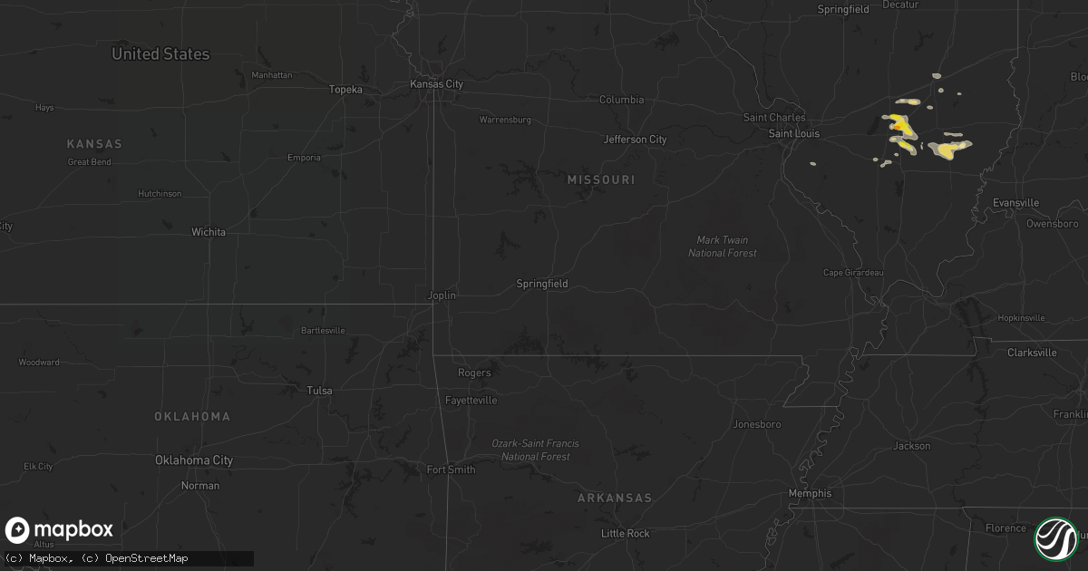
July 24 map
$229
one time, instant access
Download today. No call, no setup
Keep the $229
Bought the map and want the full workflow? Apply the entire $229 to a subscription within 7 days. None of it is wasted.
Every map, not just this one
This buys you this map. Subscription and you get every map we run, in the markets you choose from a few cities to whole states to nationwide. Plus real-time alerts the moment a storm fires.
Contact data
Name, contact info, occupancy, even credit band for addresses in the footprint. You go from where it hit to who to call.
Become the source they trust
Unlimited branding weather history reports on demand. You already have the documented answer ready for the property owner, and you are the one who showed up with it.
Property data and RoofTrace estimates
Pull up any address you have got, its value and the exact code rules for that jurisdiction, straight from One Click Code. Then RoofTrace estimates the squares, pitch, and roof value, priced the way you price.
Storm reports in Illinois
Illinois
| Date | Description |
|---|---|
| 07/24/20226:38 PM CDT | A local report indicates 60 MPH wind near LAWRENCEVILLE AIRPORT |
| 07/24/20226:27 PM CDT | 1 inch hail reported via spotter network. |
| 07/24/20225:47 PM CDT | Via twitter: wind damage to trees... Tree damage to homes. Pictures included. |
| 07/24/20225:16 PM CDT | Report of 1 inch hail and 53 mph winds. |
| 07/24/20225:12 PM CDT | Via twitter: 1 inch hail reported with damage to trees and tree damage to homes. |
| 07/24/20225:12 PM CDT | Corrects previous hail report from 3 wsw alma. Via twitter: 1 inch hail reported. |
| 07/24/20223:40 AM CDT | At 839 PM CDT, severe thunderstorms were located along a line extending from 9 miles south of Schnell to near Cisne, moving east southeast at 25 mph. HAZARD...60 mph wind gusts and half dollar size hail. SOURCE...Radar indicated. IMPACT...Hail damage to vehicles is expected. Expect wind damage to roofs, siding, and trees. Locations impacted include... Albion. |
| 07/24/20222:43 AM CDT | At 743 PM EDT, a severe thunderstorm was located 8 miles east of Russellville, or 13 miles northeast of Vincennes, moving southeast at 25 mph. HAZARD...60 mph wind gusts and quarter size hail. SOURCE...Radar indicated. IMPACT...Hail damage to vehicles is expected. Expect wind damage to roofs, siding, and trees. This severe thunderstorm will be near... Bicknell around 755 PM EDT. Edwardsport around 800 PM EDT.Other locations in the path of this severe thunderstorm includePlainville, Washington, Montgomery, Cannelburg, Loogootee, West BoggsLake and Alfordsville. |
| 07/24/20221:29 AM CDT | At 628 PM CDT, a severe thunderstorm was located 7 miles south of Salem, moving southeast at 30 mph. HAZARD...60 mph wind gusts and quarter size hail. SOURCE...Radar indicated. IMPACT...Hail damage to vehicles is expected. Expect wind damage to roofs, siding, and trees. This severe thunderstorm will remain over mainly rural areas of northeastern Jefferson County, including the following locations... Dix.This includes Interstate 57 in Illinois between Mile Markers 103 and105. |
| 07/24/20221:28 AM CDT | At 628 PM EDT, a severe thunderstorm was located near Palestine, or 12 miles east of Robinson, moving east at 20 mph. HAZARD...60 mph wind gusts and quarter size hail. SOURCE...Radar indicated. IMPACT...Hail damage to vehicles is expected. Expect wind damage to roofs, siding, and trees. This severe thunderstorm will be near... Carlisle, Oaktown and Paxton around 645 PM EDT.Other locations in the path of this severe thunderstorm includePleasantville, Freelandville, Linton, Sandborn and Lyons. |
| 07/24/20221:23 AM CDT | At 623 PM CDT, a severe thunderstorm was located 7 miles south of Salem, moving east at 20 mph. HAZARD...60 mph wind gusts and quarter size hail. SOURCE...Radar indicated. IMPACT...Hail damage to vehicles is expected. Expect wind damage to roofs, siding, and trees. Locations impacted include... Helm.This includes Interstate 57 in Illinois near exit 109. |
| 07/24/202212:54 AM CDT | At 553 PM CDT, a severe thunderstorm was located near Helm, or 10 miles east of Salem, moving southeast at 20 mph. HAZARD...60 mph wind gusts and quarter size hail. SOURCE...Radar indicated. IMPACT...Hail damage to vehicles is expected. Expect wind damage to roofs, siding, and trees. Locations impacted include... Cisne. |
| 07/24/202212:47 AM CDT | At 546 PM CDT, a severe thunderstorm was located near Omega, moving east at 25 mph. HAZARD...Golf ball size hail and 60 mph wind gusts. SOURCE...Radar indicated. IMPACT...People and animals outdoors will be injured. Expect hail damage to roofs, siding, windows, and vehicles. Expect wind damage to roofs, siding, and trees. This severe thunderstorm will be near... Helm around 605 PM CDT. |
| 07/24/202212:13 AM CDT | At 513 PM CDT, a severe thunderstorm was located near Salem, moving east at 25 mph. HAZARD...60 mph wind gusts and quarter size hail. SOURCE...Radar indicated. IMPACT...Hail damage to vehicles is expected. Expect wind damage to roofs, siding, and trees. Locations impacted include... Omega and Stephen Forbes Station. |
| 07/24/202212:05 AM CDT | At 505 PM CDT, a severe thunderstorm was located near Edgewood, or 16 miles southwest of Effingham, moving east at 15 mph. HAZARD...60 mph wind gusts and quarter size hail. SOURCE...Radar indicated. IMPACT...Hail damage to vehicles is expected. Expect wind damage to roofs, siding, and trees. This severe thunderstorm will be near... Edgewood around 525 PM CDT.Other locations impacted by this severe thunderstorm include Masonand Altamont Reservoir.This includes Interstate 57 between mile markers 142 and 150. |
| 07/23/202211:47 PM CDT | At 446 PM CDT, a severe thunderstorm was located near Patoka, moving east at 25 mph. HAZARD...60 mph wind gusts and penny size hail. SOURCE...Radar indicated. IMPACT...Expect damage to roofs, siding, and trees. Locations impacted include... Kinmundy, Farina, Omega and Stephen Forbes Station.This includes Interstate 57 in Illinois between exits 127 and 135. |
| 07/23/20229:41 PM CDT | At 241 AM CDT, severe thunderstorms were located along a line extending from near Lac La Belle to near Elkhorn to near Clinton, moving east at 45 mph. HAZARD...60 mph wind gusts. SOURCE...Public. IMPACT...Expect damage to roofs, siding, and trees. Locations impacted include... Milwaukee, Kenosha, Racine, Waukesha, West Allis, Wauwatosa, New Berlin, Brookfield, Greenfield, Menomonee Falls, Oak Creek, Mount Pleasant, Muskego, South Milwaukee, Pleasant Prairie, Cudahy, Whitewater, Whitefish Bay, Greendale and Pewaukee.People attending The Waukesha County Fair , Country Thunder in TwinLakes , SA: Wisconsin State Fair Park , Konkel Park , and TheMilwaukee Air and Water Show should seek safe shelter immediately!This includes the following Locations Boerner Botanical Gardens,General Mitchell International Airport, Timmerman Airport, Froedert &the Medical College, Fiserv Forum, Pewaukee Lake, Ottawa LakeRecreation Area, and Pinewoods Campground. |
All States Impacted by Hail Map on July 24, 2022
Cities Impacted by Hail Map on July 24, 2022
- Pittsboro, NC
- Ajo, AZ
- Effingham, IL
- Dieterich, IL
- Akron, CO
- Brush, CO
- Fort Smith, MT
- Lodge Grass, MT
- Claxton, GA
- Broadview, MT
- Burgaw, NC
- Swansea, SC
- Saint Matthews, SC
- White Sulphur Springs, MT
- Mebane, NC
- Prospect Hill, NC
- Boulder, MT
- Whitehall, MT
- Holly, CO
- Greencastle, PA
- Mercersburg, PA
- Salley, SC
- Van Buren, ME
- Moncure, NC
- Molt, MT
- Venice, FL
- Nokomis, FL
- Manderson, WY
- Grover Hill, OH
- Cloverdale, OH
- Oakwood, OH
- Texico, IL
- Iuka, IL
- Kell, IL
- Billings, MT
- Cassadaga, NY
- Martinsdale, MT
- Rapelje, MT
- Big Timber, MT
- Benson, AZ
- Dragoon, AZ
- Leesville, SC
- Gilbert, SC
- Rochelle, GA
- Teutopolis, IL
- Willcox, AZ
- Hugo, CO
- Arriba, CO
- Karval, CO
- New Athens, IL
- Waterloo, IL
- Garryowen, MT
- Elloree, SC
- Johnsonville, IL
- Sinclairville, NY
- Cherry Creek, NY
- Stockton, NY
- Dewittville, NY
- Two Dot, MT
- Kane, PA
- Bunker, MO
- Acton, MT
- Apex, NC
- Cobbtown, GA
- Collins, GA
- Lumpkin, GA
- Pritchett, CO
- Richview, IL
- Show Low, AZ
- Cope, CO
- Seibert, CO
- Vona, CO
- Arivaca, AZ
- Tucson, AZ
- Crow Agency, MT
- Huntley, MT
- Hardin, MT
- Mount Lemmon, AZ
- Shawmut, MT
- Otter, MT
- Flagstaff, AZ
- Metter, GA
- Hampton, FL
- Swainsboro, GA
- Alma, IL
- Patoka, IL
- Odin, IL
- Centralia, IL
- Salem, IL
- Bluford, IL
- Vernon, IL
- Vandalia, IL
- Mount Vernon, IL
- Dix, IL
- Kinmundy, IL
- Saint David, AZ
- Busby, MT
- Decker, MT
- Bloomingdale, GA
- Guyton, GA
- Reeves, LA
- Ragley, LA
- McConnellsburg, PA
- Big Cove Tannery, PA
- Wake Forest, NC
- Clifton, AZ
- Morenci, AZ
- Snowflake, AZ
- Conway, NC
- Scottsburg, VA
- Tombstone, AZ
- Lavina, MT
- Edgewood, IL
- Brownstown, IL
- Mason, IL
- Farina, IL
- Saint Peter, IL
- Saint Elmo, IL
- Gaston, SC
- Rocky Point, NC
- Eads, CO
- Wild Horse, CO
- Kit Carson, CO
- Williston, SC
- Tidioute, PA
- Grand Valley, PA
- Pleasantville, PA
- Newberry, FL
- Sanford, NC
- New Hill, NC
- Eagle Lake, ME
- Sinclair, ME
- Stockholm, ME
- Canastota, NY
- Clarendon, PA
- Warren, PA
- Windsor, SC
- Saint Xavier, MT
- Snyder, CO
- Fort Morgan, CO
- Mill Hall, PA
- Lock Haven, PA
- Lamar, CO
- Wiley, CO
- McClave, CO
- Chapel Hill, NC
- Santee, SC
- Waterville, PA
- English, IN
- Birdseye, IN
- Eckerty, IN
- Wiggins, CO
- Weldona, CO
- Polk, PA
- Utica, PA
- Stoneboro, PA
- Jackson Center, PA
- Sandy Lake, PA
- Franklin, PA
- Mercer, PA
- Creedmoor, NC
- Patagonia, AZ
- Batesburg, SC
- Ashley, IL
- Woodlawn, IL
- Ryegate, MT
- Flagler, CO
- Register, GA
- Hardeeville, SC
- Great Falls, MT
- Piedmont, SD
- Nemo, SD
- Black Hawk, SD
- Rapid City, SD
- Stratton, CO
- Geff, IL
- Cisne, IL
- Mount Erie, IL
- Norman Park, GA
- Moultrie, GA
- Omega, GA
- Tifton, GA
- Oxford, NY
- Sims, IL
- Fairfield, IL
- Las Animas, CO
- Portageville, NY
- Gainesville, NY
- Bliss, NY
- Fillmore, NY
- Weston, WY
- Monarch, MT
- Noble, IL
- Clay City, IL
- Rincon, GA
- Port Wentworth, GA
- Elfrida, AZ
- Pembroke, GA
- Hulett, WY
- Hermosa, SD
- Haviland, OH
- Continental, OH
- Seabrook, SC
- Osprey, FL
- West Salem, IL
- Perry, FL
- Caputa, SD
- Newton, IL
- Opp, AL
- Elba, AL
- Arlington, IN
- Morristown, IN
- Carmichaels, PA
- Fort Kent, ME
- Louisville, IL
- Lamont, FL
- Chauncey, GA
- Milan, GA
- Drake, CO
- Cheyenne Wells, CO
- Arapahoe, CO
- Big Flats, NY
- Pine Valley, NY
- Horseheads, NY
- Addison, NY
- Painted Post, NY
- Corning, NY
- Millport, NY
- Van Etten, NY
- Spencer, NY
- Erin, NY
- South New Berlin, NY
- Sherburne, NY
- McDonough, NY
- Smithville Flats, NY
- Edmeston, NY
- South Plymouth, NY
- Cincinnatus, NY
- Norwich, NY
- Willet, NY
- Marathon, NY
- New Berlin, NY
- Davenport, NY
- Oneonta, NY
- East Meredith, NY
- Jefferson, NY
- Franklin, NY
- Otego, NY
- Davenport Center, NY
- West Davenport, NY
- Schenevus, NY
- Harpersfield, NY
- Feura Bush, NY
- Bloomville, NY
- Altamont, NY
- North Blenheim, NY
- Watervliet, NY
- Clarksville, NY
- Berne, NY
- Stamford, NY
- Delhi, NY
- Rensselaer, NY
- Fultonham, NY
- Slingerlands, NY
- West Fulton, NY
- Albany, NY
- Gilboa, NY
- Troy, NY
- Voorheesville, NY
- South Kortright, NY
- Middleburgh, NY
- Hobart, NY
- Delmar, NY
- Summit, NY
- Rensselaerville, NY
- East Berne, NY
- Preston Hollow, NY
- Westerlo, NY
- Conewango Valley, NY
- Little Valley, NY
- Randolph, NY
- Falconer, NY
- Cattaraugus, NY
- Jamestown, NY
- Gerry, NY
- Kennedy, NY
- Fredonia, NY
- Portland, NY
- Brocton, NY
- Westfield, NY
- Silver Creek, NY
- Angola, NY
- Irving, NY
- Dunkirk, NY
- Williamsfield, OH
- Newbury, OH
- Jamestown, PA
- Novelty, OH
- Centerville, PA
- Andover, OH
- Gates Mills, OH
- Chardon, OH
- Chagrin Falls, OH
- Burton, OH
- Middlefield, OH
- Chesterland, OH
- Huntsburg, OH
- Conneaut Lake, PA
- Hartstown, PA
- Guys Mills, PA
- Windsor, OH
- Townville, PA
- Meadville, PA
- Atlantic, PA
- Linesville, PA
- Orwell, OH


