Hail Map in Georgia on July 24, 2022
Get this storm
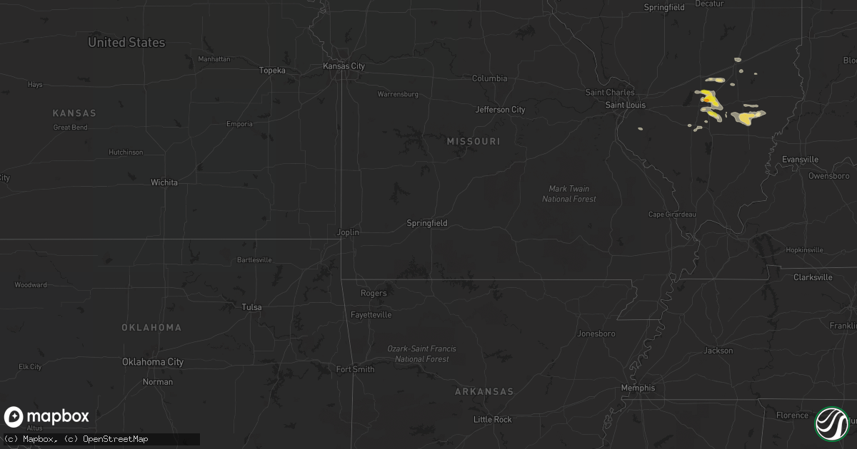
July 24 map
$229
one time, instant access
Download today. No call, no setup
Keep the $229
Bought the map and want the full workflow? Apply the entire $229 to a subscription within 7 days. None of it is wasted.
Every map, not just this one
This buys you this map. Subscription and you get every map we run, in the markets you choose from a few cities to whole states to nationwide. Plus real-time alerts the moment a storm fires.
Contact data
Name, contact info, occupancy, even credit band for addresses in the footprint. You go from where it hit to who to call.
Become the source they trust
Unlimited branding weather history reports on demand. You already have the documented answer ready for the property owner, and you are the one who showed up with it.
Property data and RoofTrace estimates
Pull up any address you have got, its value and the exact code rules for that jurisdiction, straight from One Click Code. Then RoofTrace estimates the squares, pitch, and roof value, priced the way you price.
Storm reports in Georgia
Georgia
| Date | Description |
|---|---|
| 07/24/20226:02 PM CDT | Tree down on blue bird road. |
| 07/24/20223:26 PM CDT | Tree reported down along kennedy bridge road at ada bell road. Damage was most likely from an outflow boundary. Time estimated from radar. |
| 07/24/20223:06 AM CDT | At 805 PM EDT, a severe thunderstorm was located near Collins, and is nearly stationary. HAZARD...60 mph wind gusts and quarter size hail. SOURCE...Radar indicated. IMPACT...Minor hail damage to vehicles is possible. Expect wind damage to trees and powerlines. Locations impacted include: Metter, Collins, Cobbtown and Aline. This warning includes I-16 between mile markers 96 and 108. |
| 07/24/20222:38 AM CDT | At 738 PM EDT, a severe thunderstorm was located over Summertown, or 8 miles north of Swainsboro, moving south at 25 mph. HAZARD...60 mph wind gusts. SOURCE...Radar indicated. IMPACT...Expect damage to roofs, siding, and trees. Locations impacted include... Swainsboro, Twin City, Summertown, Nunez, Three Points, Dellwood, Modoc, Blundale and Lexsy. |
| 07/24/20221:54 AM CDT | At 653 PM EDT, severe thunderstorms were located along a line extending from near Enigma to 7 miles southeast of Moultrie, moving north at 15 mph. HAZARD...60 mph wind gusts and quarter size hail. SOURCE...Radar indicated. IMPACT...Hail damage to vehicles is expected. Expect wind damage to roofs, siding, and trees. Locations impacted include... Tifton, Moultrie, Enigma, Omega, Norman Park, Unionville, Phillipsburg, Riverside, Schley, Berlin, Ellenton, Eldorado, Scooterville, Harding, Waterloo, South Moultrie, Vanceville, Hillsdale, Cool Spring and Pineboro. |
| 07/23/202211:58 PM CDT | At 457 PM EDT, a severe thunderstorm was located near Godley Station, moving southwest at 5 mph. HAZARD...60 mph wind gusts and nickel size hail. SOURCE...Radar indicated. IMPACT...Expect damage to trees and powerlines. Locations impacted include: Pooler, Godley Station, Savannah International Airport, Port Wentworth, Bloomingdale, Blitchton, Meinhard, Pineora, Marlow, Eden, Meldrim and Ellabell.This warning includes the following interstates: I-16 between mile markers 139 and 155. I-95 in Georgia between mile markers 105 and 106, and near milemarker 111. |
| 07/23/202211:47 PM CDT | At 447 PM EDT, a severe thunderstorm was located near Rochelle, or 8 miles west of Abbeville, moving southwest at 10 mph. HAZARD...60 mph wind gusts. SOURCE...Radar indicated. IMPACT...Expect damage to roofs, siding, and trees. Locations impacted include... Rochelle, Pitts, Double Run, Owensboro, Pope City and Seville. |
| 07/23/202210:58 PM CDT | At 358 PM EDT, a severe thunderstorm was located near Jasper, and is nearly stationary. HAZARD...60 mph wind gusts and quarter size hail. SOURCE...Radar indicated. IMPACT...Minor hail damage to vehicles is possible. Expect wind damage to trees and powerlines. Locations impacted include: Bluffton, Ridgeland, Jasper, Rincon, Port Wentworth, Hardeeville, Purysburgh, Pritchardville, Tillman, Sun City and Switzerland.This warning includes the following interstates: I-95 in South Carolina between mile markers 2 and 19. I-95 in Georgia between mile markers 110 and 112. |
All States Impacted by Hail Map on July 24, 2022
Cities Impacted by Hail Map on July 24, 2022
- Pittsboro, NC
- Ajo, AZ
- Effingham, IL
- Dieterich, IL
- Akron, CO
- Brush, CO
- Fort Smith, MT
- Lodge Grass, MT
- Claxton, GA
- Broadview, MT
- Burgaw, NC
- Swansea, SC
- Saint Matthews, SC
- White Sulphur Springs, MT
- Mebane, NC
- Prospect Hill, NC
- Boulder, MT
- Whitehall, MT
- Holly, CO
- Greencastle, PA
- Mercersburg, PA
- Salley, SC
- Van Buren, ME
- Moncure, NC
- Molt, MT
- Venice, FL
- Nokomis, FL
- Manderson, WY
- Grover Hill, OH
- Cloverdale, OH
- Oakwood, OH
- Texico, IL
- Iuka, IL
- Kell, IL
- Billings, MT
- Cassadaga, NY
- Martinsdale, MT
- Rapelje, MT
- Big Timber, MT
- Benson, AZ
- Dragoon, AZ
- Leesville, SC
- Gilbert, SC
- Rochelle, GA
- Teutopolis, IL
- Willcox, AZ
- Hugo, CO
- Arriba, CO
- Karval, CO
- New Athens, IL
- Waterloo, IL
- Garryowen, MT
- Elloree, SC
- Johnsonville, IL
- Sinclairville, NY
- Cherry Creek, NY
- Stockton, NY
- Dewittville, NY
- Two Dot, MT
- Kane, PA
- Bunker, MO
- Acton, MT
- Apex, NC
- Cobbtown, GA
- Collins, GA
- Lumpkin, GA
- Pritchett, CO
- Richview, IL
- Show Low, AZ
- Cope, CO
- Seibert, CO
- Vona, CO
- Arivaca, AZ
- Tucson, AZ
- Crow Agency, MT
- Huntley, MT
- Hardin, MT
- Mount Lemmon, AZ
- Shawmut, MT
- Otter, MT
- Flagstaff, AZ
- Metter, GA
- Hampton, FL
- Swainsboro, GA
- Alma, IL
- Patoka, IL
- Odin, IL
- Centralia, IL
- Salem, IL
- Bluford, IL
- Vernon, IL
- Vandalia, IL
- Mount Vernon, IL
- Dix, IL
- Kinmundy, IL
- Saint David, AZ
- Busby, MT
- Decker, MT
- Bloomingdale, GA
- Guyton, GA
- Reeves, LA
- Ragley, LA
- McConnellsburg, PA
- Big Cove Tannery, PA
- Wake Forest, NC
- Clifton, AZ
- Morenci, AZ
- Snowflake, AZ
- Conway, NC
- Scottsburg, VA
- Tombstone, AZ
- Lavina, MT
- Edgewood, IL
- Brownstown, IL
- Mason, IL
- Farina, IL
- Saint Peter, IL
- Saint Elmo, IL
- Gaston, SC
- Rocky Point, NC
- Eads, CO
- Wild Horse, CO
- Kit Carson, CO
- Williston, SC
- Tidioute, PA
- Grand Valley, PA
- Pleasantville, PA
- Newberry, FL
- Sanford, NC
- New Hill, NC
- Eagle Lake, ME
- Sinclair, ME
- Stockholm, ME
- Canastota, NY
- Clarendon, PA
- Warren, PA
- Windsor, SC
- Saint Xavier, MT
- Snyder, CO
- Fort Morgan, CO
- Mill Hall, PA
- Lock Haven, PA
- Lamar, CO
- Wiley, CO
- McClave, CO
- Chapel Hill, NC
- Santee, SC
- Waterville, PA
- English, IN
- Birdseye, IN
- Eckerty, IN
- Wiggins, CO
- Weldona, CO
- Polk, PA
- Utica, PA
- Stoneboro, PA
- Jackson Center, PA
- Sandy Lake, PA
- Franklin, PA
- Mercer, PA
- Creedmoor, NC
- Patagonia, AZ
- Batesburg, SC
- Ashley, IL
- Woodlawn, IL
- Ryegate, MT
- Flagler, CO
- Register, GA
- Hardeeville, SC
- Great Falls, MT
- Piedmont, SD
- Nemo, SD
- Black Hawk, SD
- Rapid City, SD
- Stratton, CO
- Geff, IL
- Cisne, IL
- Mount Erie, IL
- Norman Park, GA
- Moultrie, GA
- Omega, GA
- Tifton, GA
- Oxford, NY
- Sims, IL
- Fairfield, IL
- Las Animas, CO
- Portageville, NY
- Gainesville, NY
- Bliss, NY
- Fillmore, NY
- Weston, WY
- Monarch, MT
- Noble, IL
- Clay City, IL
- Rincon, GA
- Port Wentworth, GA
- Elfrida, AZ
- Pembroke, GA
- Hulett, WY
- Hermosa, SD
- Haviland, OH
- Continental, OH
- Seabrook, SC
- Osprey, FL
- West Salem, IL
- Perry, FL
- Caputa, SD
- Newton, IL
- Opp, AL
- Elba, AL
- Arlington, IN
- Morristown, IN
- Carmichaels, PA
- Fort Kent, ME
- Louisville, IL
- Lamont, FL
- Chauncey, GA
- Milan, GA
- Drake, CO
- Cheyenne Wells, CO
- Arapahoe, CO
- Big Flats, NY
- Pine Valley, NY
- Horseheads, NY
- Addison, NY
- Painted Post, NY
- Corning, NY
- Millport, NY
- Van Etten, NY
- Spencer, NY
- Erin, NY
- South New Berlin, NY
- Sherburne, NY
- McDonough, NY
- Smithville Flats, NY
- Edmeston, NY
- South Plymouth, NY
- Cincinnatus, NY
- Norwich, NY
- Willet, NY
- Marathon, NY
- New Berlin, NY
- Davenport, NY
- Oneonta, NY
- East Meredith, NY
- Jefferson, NY
- Franklin, NY
- Otego, NY
- Davenport Center, NY
- West Davenport, NY
- Schenevus, NY
- Harpersfield, NY
- Feura Bush, NY
- Bloomville, NY
- Altamont, NY
- North Blenheim, NY
- Watervliet, NY
- Clarksville, NY
- Berne, NY
- Stamford, NY
- Delhi, NY
- Rensselaer, NY
- Fultonham, NY
- Slingerlands, NY
- West Fulton, NY
- Albany, NY
- Gilboa, NY
- Troy, NY
- Voorheesville, NY
- South Kortright, NY
- Middleburgh, NY
- Hobart, NY
- Delmar, NY
- Summit, NY
- Rensselaerville, NY
- East Berne, NY
- Preston Hollow, NY
- Westerlo, NY
- Conewango Valley, NY
- Little Valley, NY
- Randolph, NY
- Falconer, NY
- Cattaraugus, NY
- Jamestown, NY
- Gerry, NY
- Kennedy, NY
- Fredonia, NY
- Portland, NY
- Brocton, NY
- Westfield, NY
- Silver Creek, NY
- Angola, NY
- Irving, NY
- Dunkirk, NY
- Williamsfield, OH
- Newbury, OH
- Jamestown, PA
- Novelty, OH
- Centerville, PA
- Andover, OH
- Gates Mills, OH
- Chardon, OH
- Chagrin Falls, OH
- Burton, OH
- Middlefield, OH
- Chesterland, OH
- Huntsburg, OH
- Conneaut Lake, PA
- Hartstown, PA
- Guys Mills, PA
- Windsor, OH
- Townville, PA
- Meadville, PA
- Atlantic, PA
- Linesville, PA
- Orwell, OH


