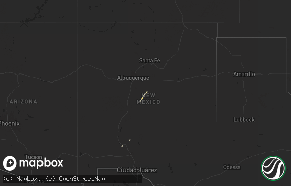
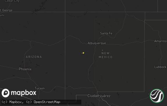
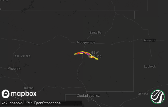
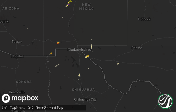
Hail Map in New Mexico on July 4, 2021
The weather event in New Mexico on July 4, 2021 includes Wind and Hail maps. 14 states and 176 cities were impacted and suffered possible damage. The total estimated number of properties impacted is 107.

Wind
Hail
107
Estimated number of impacted properties by a 1.00" hail or larger59
Estimated number of impacted properties by a 1.75" hail or larger0
Estimated number of impacted properties by a 2.50" hail or largerStorm reports in New Mexico
New Mexico
| Date | Description |
|---|---|
| 07/04/20215:23 AM CDT | At 1022 PM MDT, severe thunderstorms were located along a line extending from Conchas Dam to Glenrio, moving south at 30 mph. HAZARD...60 mph wind gusts and penny size hail. SOURCE...Radar indicated. IMPACT...Expect damage to roofs, siding, and trees. Locations impacted include... Quay, Tucumcari, Logan, San Jon, Montoya, Glenrio, Conchas Lake State Park, Conchas Dam, Newkirk and Conchas.This includes the following highways... Interstate 40 between Mile Markers 298 and 373. State Road 104 between Mile Markers 65 and 105. |
| 07/04/20213:35 AM CDT | At 834 PM MDT, a severe thunderstorm was located 7 miles northeast of Montoya, or 13 miles west of Tucumcari, moving southeast at 10 mph. HAZARD...Golf ball size hail and 70 mph wind gusts. SOURCE...Radar indicated. IMPACT...People and animals outdoors will be injured. Expect hail damage to roofs, siding, windows, and vehicles. Expect considerable tree damage. Wind damage is also likely to mobile homes, roofs, and outbuildings. Locations impacted include... Areas west of Tucumcari and east of Montoya. This includes Interstate 40 between Mile Markers 309 and 328. |
| 07/04/20212:56 AM CDT | At 755 PM MDT, a severe thunderstorm was located 9 miles north of Kenton, or 34 miles southwest of Springfield, moving south at 5 mph. HAZARD...Two inch hail and 60 mph wind gusts. SOURCE...Radar indicated. IMPACT...People and animals outdoors will be injured. Expect hail damage to roofs, siding, windows, and vehicles. Expect wind damage to roofs, siding, and trees. This severe thunderstorm will remain over mainly rural areas of southwestern Baca and southeastern Las Animas Counties. |
| 07/04/20211:14 AM CDT | At 614 PM MDT, a severe thunderstorm was located 7 miles northwest of Yeso, or 26 miles west of Fort Sumner, moving east at 20 mph. HAZARD...60 mph wind gusts and half dollar size hail. SOURCE...Radar indicated. IMPACT...Hail damage to vehicles is expected. Expect wind damage to roofs, siding, and trees. Locations impacted include... Fort Sumner, Yeso, Sumner Lake State Park and Sumner Lake. This includes Highway 60 between Mile Markers 296 and 328. |
| 07/04/202112:45 AM CDT | Small tree limbs generally less than 1 inch diameter knocked down. |
| 07/03/202111:33 PM CDT | Ktcc asos. |
| 07/03/202111:19 PM CDT | At 419 PM MDT, a severe thunderstorm was located 10 miles south of Gladstone, or 26 miles north of Mosquero, moving southwest at 15 mph. HAZARD...60 mph wind gusts and quarter size hail. SOURCE...Radar indicated. IMPACT...Hail damage to vehicles is expected. Expect wind damage to roofs, siding, and trees. Locations impacted include... Roy, Mills, Chicosa Lake State Park, Solano and Yates. |
| 07/03/202110:58 PM CDT | At 358 PM MDT, a severe thunderstorm was located 13 miles northeast of Wagon Mound, moving southwest at 20 mph. HAZARD...60 mph wind gusts and half dollar size hail. SOURCE...Radar indicated. IMPACT...Hail damage to vehicles is expected. Expect wind damage to roofs, siding, and trees. Locations impacted include... Wagon Mound.This includes Interstate 25 between Mile Markers 374 and 400. |
| 07/03/202110:33 PM CDT | At 332 PM MDT, a severe thunderstorm was located 14 miles east of Gladstone, or 31 miles west of Clayton, moving south at 20 mph. HAZARD...60 mph wind gusts and quarter size hail. SOURCE...Radar indicated. IMPACT...Hail damage to vehicles is expected. Expect wind damage to roofs, siding, and trees. Locations impacted include... Bueyeros. |
All States Impacted by Hail Map on July 4, 2021
Cities Impacted by Hail Map on July 4, 2021
- Gladstone, NM
- Grenville, NM
- Colorado Springs, CO
- Tribune, KS
- Rush Center, KS
- Nekoma, KS
- Satanta, KS
- Sublette, KS
- Claude, TX
- Panhandle, TX
- Burlington, CO
- Iron River, MI
- Hudson, CO
- Livermore, CO
- Jetmore, KS
- Scott City, KS
- Oakley, KS
- Grainfield, KS
- Park, KS
- Hoxie, KS
- Healy, KS
- Gove, KS
- Quinter, KS
- Grinnell, KS
- Leoti, KS
- Marienthal, KS
- Hugoton, KS
- Winona, KS
- Immokalee, FL
- Adrian, TX
- Amarillo, TX
- Manter, KS
- Syracuse, KS
- Holly, CO
- Grady, NM
- Kanorado, KS
- Mosquero, NM
- Groom, TX
- Stratford, TX
- Deer River, MN
- Jennings, KS
- Clayton, NM
- Marsland, NE
- Lamar, CO
- Roy, NM
- Sudan, TX
- Liberal, KS
- Kismet, KS
- Copeland, KS
- Dalhart, TX
- Texline, TX
- Ely, MN
- Dumas, TX
- Hartley, TX
- Ness City, KS
- Hanston, KS
- Britt, IA
- Cimarron, KS
- Granada, CO
- Parker, CO
- Aurora, CO
- Englewood, CO
- Sheridan Lake, CO
- Elkhart, KS
- Rolla, KS
- Goodland, KS
- San Jon, NM
- Bard, NM
- Ingalls, KS
- Channing, TX
- Angora, NE
- Manzanola, CO
- Olney Springs, CO
- Colby, KS
- Vega, TX
- Ordway, CO
- Pritchett, CO
- Montezuma, KS
- Fort Sumner, NM
- Manistique, MI
- Cooks, MI
- Clayton, KS
- Selden, KS
- Karval, CO
- Texhoma, OK
- Goodwell, OK
- Guymon, OK
- Yeso, NM
- Floyd, NM
- Pampa, TX
- Boise City, OK
- Tucumcari, NM
- Two Buttes, CO
- Springfield, CO
- Vilas, CO
- Walsh, CO
- Broadview, NM
- Hereford, TX
- Logan, NM
- Devils Tower, WY
- Hemingford, NE
- Nye, MT
- House, NM
- Cuervo, NM
- Moscow, KS
- Lakin, KS
- Deerfield, KS
- Kendall, KS
- Hammond, MT
- Johnson, KS
- Melrose, NM
- Clovis, NM
- Larned, KS
- Mcalister, NM
- Saint Francis, KS
- Alexander, KS
- Keyes, OK
- Littlefield, TX
- Campo, CO
- Foxboro, WI
- Richfield, KS
- Walsenburg, CO
- Hooker, OK
- Sharon Springs, KS
- Gruver, TX
- Sunray, TX
- Lone Tree, CO
- Littleton, CO
- Elbert, CO
- Tie Siding, WY
- Lakota, IA
- Buffalo Center, IA
- Forest City, IA
- Thompson, IA
- Woden, IA
- Barnum, MN
- Mcgregor, MN
- Cheyenne Wells, CO
- Burdett, KS
- Bazine, KS
- Lead, SD
- Holyoke, MN
- Floodwood, MN
- Rociada, NM
- Sapello, NM
- Carlton, MN
- Cloquet, MN
- Keenesburg, CO
- Junction, TX
- Wetmore, CO
- Two Harbors, MN
- Watkins, CO
- Grand Rapids, MN
- Atwood, KS
- Kanawha, IA
- Wallace, KS
- Stratton, CO
- Kit Carson, CO
- Haswell, CO
- Duluth, MN
- Menard, TX
- Monument, CO
- Bovey, MN
- Coleraine, MN
- Spooner, WI
- Bayard, NE
- Eldorado, TX
- Lenora, KS
- Livingston, MT
- Bozeman, MT
- Roswell, NM
- Elida, NM
- Conchas Dam, NM
- Portales, NM
- Scottsbluff, NE
- Morrill, NE


