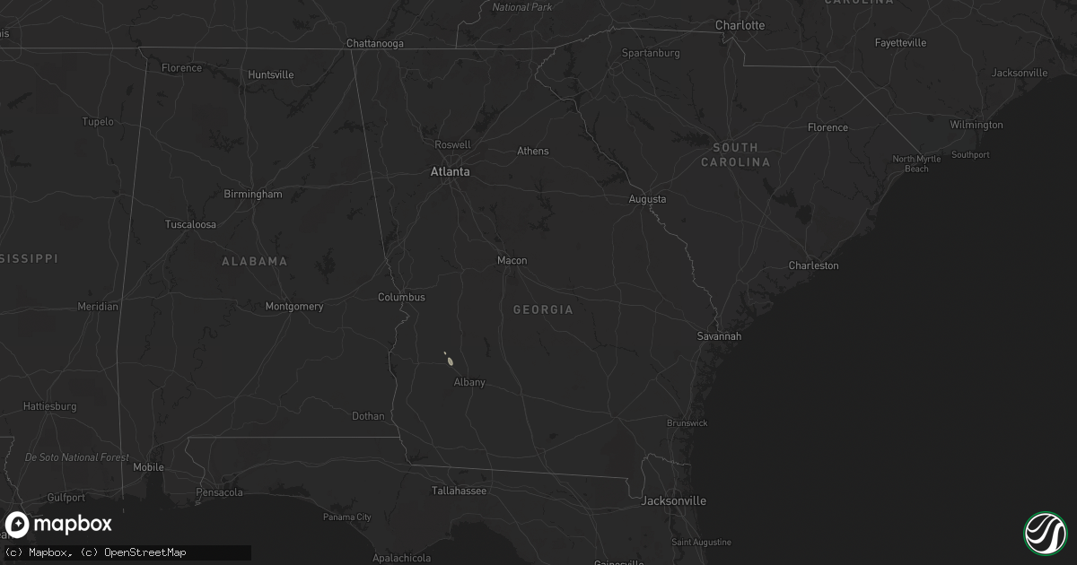
Hail Map in Georgia on June 27, 2013
Get this storm
June 27 map
$229
one time, instant access
Download today. No call, no setup
Keep the $229
Bought the map and want the full workflow? Apply the entire $229 to a subscription within 7 days. None of it is wasted.
Every map, not just this one
This buys you this map. Subscription and you get every map we run, in the markets you choose from a few cities to whole states to nationwide. Plus real-time alerts the moment a storm fires.
Contact data
Name, contact info, occupancy, even credit band for addresses in the footprint. You go from where it hit to who to call.
Become the source they trust
Unlimited branding weather history reports on demand. You already have the documented answer ready for the property owner, and you are the one who showed up with it.
Property data and RoofTrace estimates
Pull up any address you have got, its value and the exact code rules for that jurisdiction, straight from One Click Code. Then RoofTrace estimates the squares, pitch, and roof value, priced the way you price.
Storm reports in Georgia
Georgia
| Date | Description |
|---|---|
| 06/27/20134:34 PM CDT | Trees and power lines down on adams road near highway 80. |
| 06/27/20133:50 PM CDT | 911 center reports 3 trees blown down in the parrish street/brook circle/spalding street area on the east side of griffin. |
| 06/27/20133:42 PM CDT | Tree down on burkhalter road. |
| 06/27/20133:33 PM CDT | Tree down on old register way. |
| 06/27/20133:20 PM CDT | Off duty nws forecaster reported around a half dozen trees down in the vicinity of crosstown drive and brooksong way. |
| 06/27/20133:18 PM CDT | Tree down across excelsior church road near interstate 16. |
| 06/27/20133:15 PM CDT | Off duty nws forecaster reported one tree snapped at the kroger on crosstown blvd. |
| 06/27/20133:10 PM CDT | Emergency manager reported a tree blown down blocking peachtree parkway north of highway 54. |
| 06/26/201310:48 PM CDT | Public reported several large peacan trees down along lundy dairy road between hwy 74 and hwy 83. |
| 06/26/201310:31 PM CDT | Trees down at the 2600 block of liberty road south of albany. |
| 06/26/201310:30 PM CDT | Media relayed a viewer report of lots of debris on radium springs road in putney |
| 06/26/20139:57 PM CDT | Trees down on sasser road |
| 06/26/20139:50 PM CDT | Media relayed a viewer report of a tree down on highway 32 close to the lee county line with a lot of debris and limbs in the road. |
| 06/26/20139:45 PM CDT | Tree on a power line near the intersection of crawford street and 11th ave with power outages reported |
| 06/26/20139:42 PM CDT | Trees and power lines down in bronwood. Media also reports trees down on houses. |
| 06/26/20139:42 PM CDT | Trees down on highway 118 between dawson and bronwood. Media reports trees are blocking the roadway. |
All States Impacted by Hail Map on June 27, 2013
Cities Impacted by Hail Map on June 27, 2013
- White Cloud, KS
- Rulo, NE
- Hiawatha, KS
- Robinson, KS
- Strawberry, AR
- Smithville, AR
- Cave City, AR
- Sulphur Rock, AR
- Lincoln, KS
- Sylvan Grove, KS
- Holton, KS
- New Haven, IN
- Churubusco, IN
- Huntertown, IN
- Columbia City, IN
- Arcola, IN
- Grabill, IN
- Fort Wayne, IN
- Roanoke, IN
- Tomahawk, WI
- Gleason, WI
- Manhattan, KS
- Leonardville, KS
- Riley, KS
- Randolph, KS
- Olsburg, KS
- Silver Lake, KS
- Topeka, KS
- Wamego, KS
- Saint George, KS
- Westmoreland, KS
- Frankfort, KS
- Onaga, KS
- Blue Rapids, KS
- Holyrood, KS
- Claflin, KS
- Griffith, IN
- Gary, IN
- Schererville, IN
- Merrillville, IN
- Crown Point, IN
- Deerbrook, WI
- Grandview, MO
- Lees Summit, MO
- Belton, MO
- Kansas City, MO
- Raymore, MO
- Cleveland, MO
- Peculiar, MO
- Fort Riley, KS
- Alta Vista, KS
- Green, KS
- Milford, KS
- Junction City, KS
- Ogden, KS
- Dwight, KS
- Albion, NE
- Hoisington, KS
- Bushton, KS
- Wilson, KS
- Dorrance, KS
- Manitowoc, WI
- Warsaw, IN
- Walkerton, IN
- Lakeville, IN
- Bremen, IN
- Etna Green, IN
- Plymouth, IN
- Bourbon, IN
- Atwood, IN
- North Liberty, IN
- Adams, NE
- Burr, NE
- Sterling, NE
- Cook, NE
- Douglas, NE
- Tecumseh, NE
- Highland, KS
- Craig, MO
- Forest City, MO
- Falls City, NE
- Troy, KS
- Inman, KS
- Lancaster, KS
- Two Rivers, WI
- Whitelaw, WI
- Reedsville, WI
- Rhinelander, WI
- Eagle River, WI
- Three Lakes, WI
- Milan, MI
- Ypsilanti, MI
- Willis, MI
- Bronwood, GA
- Dawson, GA
- Aniwa, WI
- Antigo, WI
- Kokomo, IN
- Hazelhurst, WI
- Harshaw, WI
- Lake Tomahawk, WI
- Brookville, KS
- Falun, KS
- Marquette, KS
- Mcpherson, KS
- Great Bend, KS
- Fond Du Lac, WI
- Firth, NE
- Highland, IN
- Crab Orchard, NE
- Tyronza, AR
- Marked Tree, AR
- Hammond, IN
- Beverly, KS
- Barnard, KS
- Beloit, KS
- Hunter, KS
- Bucyrus, KS
- Stilwell, KS
- Valley Falls, KS
- Nortonville, KS
- Minocqua, WI
- Woodruff, WI
- Pelican Lake, WI
- Russell, KS
- Hebron, IN
- Hobart, IN
- Ash Flat, AR
- Hardy, AR
- Nappanee, IN
- Leesburg, IN
- Perrysburg, OH
- Osborne, KS
- Tipton, KS
- Ellsworth, KS
- Downs, KS
- Glen Elder, KS
- Kewaunee, WI
- Champion, MI
- Republic, MI
- Plymouth, NE
- Fairbury, NE
- Jansen, NE
- Geneva, IN
- Berne, IN
- Greenwood, MO
- Lone Jack, MO
- Grain Valley, MO
- Leawood, KS
- Pleasant Hill, MO
- Independence, MO
- Harrisonville, MO
- Overland Park, KS
- Bay, AR
- Jonesboro, AR
- Weiner, AR
- Bono, AR
- Lake City, AR
- Harrisburg, AR
- Trumann, AR
- Black Rock, AR
- Cord, AR
- Saffell, AR
- Bunker Hill, KS
- Hutchinson, KS
- Buhler, KS
- Moundridge, KS
- Twelve Mile, IN
- Kewanna, IN
- Lucerne, IN
- Galveston, IN
- Onward, IN
- Logansport, IN
- Walton, IN
- Bunker Hill, IN
- Grissom Arb, IN
- Peru, IN
- Rushville, MO
- Atchison, KS
- Denton, KS
- Saint Joseph, MO
- Wathena, KS
- De Kalb, MO
- Bendena, KS
- Sprague, NE
- Auburn, NE
- Table Rock, NE
- Verdon, NE
- Milford, NE
- Martell, NE
- Denton, NE
- Elk Creek, NE
- Crete, NE
- Shubert, NE
- Dorchester, NE
- Stella, NE
- Humboldt, NE
- Bennet, NE
- Steinauer, NE
- Pleasant Dale, NE
- Johnson, NE
- Dawson, NE
- Cortland, NE
- Seward, NE
- Roca, NE
- Hallam, NE
- Lincoln, NE
- Panama, NE
- Hickman, NE
- Petersburg, NE
- East Chicago, IN
- Schaumburg, IL
- Barrington, IL
- Hoffman Estates, IL
- Chicago, IL
- Berwyn, IL
- River Forest, IL
- Maywood, IL
- Bellwood, IL
- Forest Park, IL
- Melrose Park, IL
- Cicero, IL
- Oak Park, IL
- Maumee, OH
- Toledo, OH
- Salem, NE
- Morrill, KS
- White City, KS
- Council Grove, KS
- Alma, KS
- Effingham, KS
- Saint Marys, KS
- Delia, KS
- Rossville, KS
- Casco, WI
- Luxemburg, WI
- Summit Lake, WI
- Poughkeepsie, AR
- Cherokee Village, AR
- Spalding, NE
- Greeley, NE


