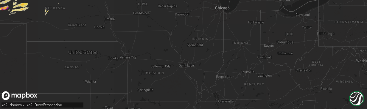
Hail Map in Michigan on June 19, 2012
The weather event in Michigan on June 19, 2012 includes Hail map. 11 states and 298 cities were impacted and suffered possible damage. The total estimated number of properties impacted is 0.
Want more than just the map?
Turn this storm into a full workflow.
- Owner + property data so you know who to knock
- OnDemand branded weather history reports to win the "did we even have hail?" argument
- RoofTrace estimate so reps stop guessing numbers at the door
Bought this map? Upgrade within 7 days and we'll credit the $230. (10-15 min setup call)
Hail
0
Estimated number of impacted properties by a 1.00" hail or larger0
Estimated number of impacted properties by a 1.75" hail or larger0
Estimated number of impacted properties by a 2.50" hail or largerStorm reports in Michigan
Michigan
| Date | Description |
|---|---|
| 06/19/201211:18 AM CDT | Several large tree branches down in spotters neighborhood. The largest one was estimated as 5 inches in diameter. Time est from radar. |
| 06/19/201211:07 AM CDT | Power lines down |
| 06/19/201210:36 AM CDT | Two large healthy trees down along i 75 near mile marker 336. Each downed tree about a half mile apart. Diameter approx 9 inches. Time est from radar. |
| 06/19/20128:40 AM CDT | 2 large trees down 1 mile west of cedar river on road g12. |
| 06/19/20128:21 AM CDT | Branches down with strong wind. Unknown size of branches. |
All States Impacted by Hail Map on June 19, 2012
Cities Impacted by Hail Map on June 19, 2012
- Ellsworth, NE
- Emily, MN
- Floodwood, MN
- Suring, WI
- Lena, WI
- Gillett, WI
- Little Falls, MN
- Kimball, SD
- Swanville, MN
- Sauk Centre, MN
- Grey Eagle, MN
- Melrose, MN
- Burtrum, MN
- Brooten, MN
- Freeport, MN
- Glenwood, MN
- Bridgeport, NE
- Hay Springs, NE
- Elk Point, SD
- Bowlus, MN
- Holdingford, MN
- Upsala, MN
- Alliance, NE
- Gregory, SD
- Oacoma, SD
- Kettle River, MN
- Mission, SD
- Detroit Lakes, MN
- Callaway, MN
- Lyman, NE
- Bingham, NE
- Westfield, IA
- Duluth, MN
- Cass Lake, MN
- Garfield, MN
- Miltona, MN
- Alexandria, MN
- Brandon, MN
- Onamia, MN
- Hillman, MN
- Alpena, SD
- Lingle, WY
- Torrington, WY
- Saint Francis, SD
- Corsicana, TX
- Milbank, SD
- Big Stone City, SD
- Stockholm, SD
- Strandburg, SD
- Sturgeon Bay, WI
- Wessington Springs, SD
- White Lake, SD
- Gann Valley, SD
- Pukwana, SD
- Dent, MN
- Vergas, MN
- Benson, MN
- Rushville, NE
- Wagner, SD
- Avon, SD
- Dante, SD
- Audubon, MN
- Winner, SD
- Laporte, MN
- Lake George, MN
- Murdock, MN
- Merriman, NE
- Browerville, MN
- Long Prairie, MN
- Rochert, MN
- Cotton, MN
- Canyon, MN
- Gering, NE
- Minatare, NE
- Scottsbluff, NE
- Mitchell, NE
- Woonsocket, SD
- Watertown, SD
- Hemingford, NE
- Belgrade, MN
- New York Mills, MN
- Menahga, MN
- Kilgore, NE
- Lake Park, MN
- Hawk Springs, WY
- Yoder, WY
- Morrill, NE
- Chamberlain, SD
- Dalton, MN
- Oconto, WI
- Oconto Falls, WI
- Abrams, WI
- Thedford, NE
- Wrenshall, MN
- Carlton, MN
- Bellingham, MN
- Sebeka, MN
- Wadena, MN
- Bluffton, MN
- Makinen, MN
- Aitkin, MN
- Brainerd, MN
- Pound, WI
- Silver Bay, MN
- Bayfield, WI
- Herbster, WI
- Two Harbors, MN
- Ortonville, MN
- Correll, MN
- Madison, MN
- Odessa, MN
- Cody, NE
- Tuthill, SD
- Hamill, SD
- Willow Lake, SD
- Hazel, SD
- Park Rapids, MN
- Hawley, MN
- Ideal, SD
- Fort Ripley, MN
- Keshena, WI
- Frazee, MN
- Perham, MN
- Osage, MN
- Angora, NE
- Oshkosh, NE
- Ashby, NE
- Lakeside, NE
- Barnum, MN
- Dumont, MN
- Beardsley, MN
- Pierz, MN
- Maple City, MI
- Cedar, MI
- Harrison, NE
- Cushing, MN
- Randall, MN
- Deer Creek, MN
- Henning, MN
- Royalton, MN
- Rice, MN
- Avon, MN
- Saint Joseph, MN
- Albany, MN
- Lisco, NE
- Broadwater, NE
- Jay Em, WY
- De Smet, SD
- Erwin, SD
- Bryant, SD
- Vienna, SD
- Ponsford, MN
- Pelican Rapids, MN
- Fergus Falls, MN
- Backus, MN
- Merrifield, MN
- Pequot Lakes, MN
- Mcgregor, MN
- Longville, MN
- Fifty Lakes, MN
- Pine River, MN
- Crosby, MN
- Palisade, MN
- Crosslake, MN
- Jacobson, MN
- Swatara, MN
- Outing, MN
- Hill City, MN
- Montevideo, MN
- Watson, MN
- Garrison, MN
- Iroquois, SD
- Parkers Prairie, MN
- Stapleton, NE
- Porterfield, WI
- Crivitz, WI
- Nunda, SD
- Sinai, SD
- Ramona, SD
- Arlington, SD
- Volga, SD
- Martin, SD
- Veteran, WY
- Hayti, SD
- Carpenter, SD
- Yale, SD
- Morris, MN
- Isle, MN
- Marquez, TX
- Franklin, TX
- Teague, TX
- Mexia, TX
- Groesbeck, TX
- Thornton, TX
- Jewett, TX
- Buckholts, TX
- Mountain, WI
- Coleman, WI
- Osakis, MN
- Nevis, MN
- Elbow Lake, MN
- Wendell, MN
- Wheaton, MN
- Herman, MN
- Marietta, MN
- Reliance, SD
- McGrath, MN
- Tintah, MN
- Clarissa, MN
- Staples, MN
- Platte, SD
- Huron, SD
- Allen, SD
- Barnesville, MN
- Felton, MN
- Borup, MN
- Finland, MN
- Lidgerwood, ND
- Hewitt, MN
- Nisswa, MN
- Chokio, MN
- Ogema, MN
- Brookston, MN
- Eagle Bend, MN
- Motley, MN
- Bertha, MN
- Brimson, MN
- Cavour, SD
- Barrett, MN
- Ellison Bay, WI
- Labolt, SD
- South Shore, SD
- Goodwin, SD
- Twin Brooks, SD
- Tamarack, MN
- Edenton, NC
- Ashby, MN
- Battle Lake, MN
- Deerwood, MN
- Hancock, MN
- Parmelee, SD
- Bayard, NE
- Ironton, MN
- Holloway, MN
- Appleton, MN
- Waubun, MN
- Browns Valley, MN
- Donnelly, MN
- Clitherall, MN
- Vining, MN
- Hoffman, MN
- Evansville, MN
- North Zulch, TX
- Normangee, TX
- Remer, MN
- Corona, SD
- Clinton, MN
- Wahpeton, ND
- Fargo, ND
- White Lake, WI
- Brussels, WI
- Cecil, WI
- Aldrich, MN
- Verndale, MN
- Parkston, SD
- Suttons Bay, MI
- Lake Leelanau, MI
- Rogers, TX
- Coushatta, LA
- Nelson, MN
- Marinette, WI
- Peshtigo, WI
- Moose Lake, MN
- Esko, MN
- Ainsworth, NE
- Wood, SD
- Okreek, SD
- Presque Isle, MI
- Posen, MI
- Sunburg, MN
- Flensburg, MN
- New London, MN
- Starbuck, MN
- Ponca, NE
- Akron, IA
- Lake Norden, SD
- Gordon, NE
- Cromwell, MN
- Wahkon, MN
- Farwell, MN
- Kensington, MN
- Graceville, MN
- Pillager, MN
- Saint Paul, MN
- Hudson, WI
- Stillwater, MN
- Houlton, WI
- Lake Elmo, MN


