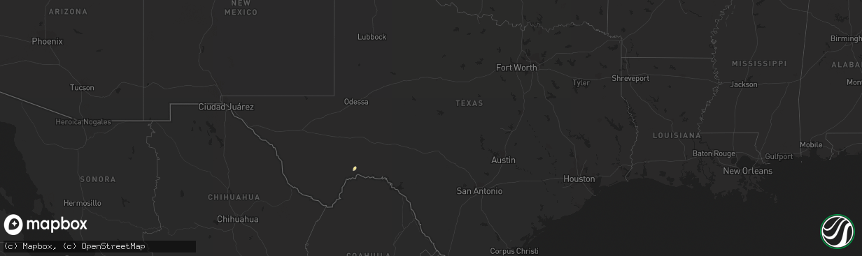
Hail Map in Texas on April 28, 2013
The weather event in Texas on April 28, 2013 includes Hail map. 3 states and 18 cities were impacted and suffered possible damage. The total estimated number of properties impacted is 0.
Want more than just the map?
Turn this storm into a full workflow.
- Owner + property data so you know who to knock
- OnDemand branded weather history reports to win the "did we even have hail?" argument
- RoofTrace estimate so reps stop guessing numbers at the door
Bought this map? Upgrade within 7 days and we'll credit the $230. (10-15 min setup call)
Hail
0
Estimated number of impacted properties by a 1.00" hail or larger0
Estimated number of impacted properties by a 1.75" hail or larger0
Estimated number of impacted properties by a 2.50" hail or largerStorm reports in Texas
Texas
| Date | Description |
|---|---|
| 04/28/20131:25 PM CDT | Two poorly constructed mobile homes had roofs ripped off and are now unihabitable. 9 residents have been displaced. Location of mobile homes is 1 4 mile east from the i |
| 04/28/20131:25 PM CDT | Two poorly constructed mobile homes had roofs ripped off and are now unihabitable. 9 residents have been displaced. Location of mobile homes a quarter mile east from th |
| 04/28/20131:19 PM CDT | Employee reports tree limb blown down. Wind gusts estimated at 50 to 60 mph. |
| 04/28/201312:50 PM CDT | Communication tower knocked down by strong winds near la paloma. |
| 04/28/201312:20 PM CDT | Tree blown down causing damage to carport. 800 block of 8th street near the intersection of 8th street and s. Col. Rowe blvd. Nearby kmfe asos reported 42 kt wind gust. |
| 04/27/20137:30 PM CDT | Sporadic 3/4 to 1 1/4 inch hailstones falling. |
| 04/27/20137:30 PM CDT | A local report indicates 1.50 inch wind near 1 SE SANDERSON |


