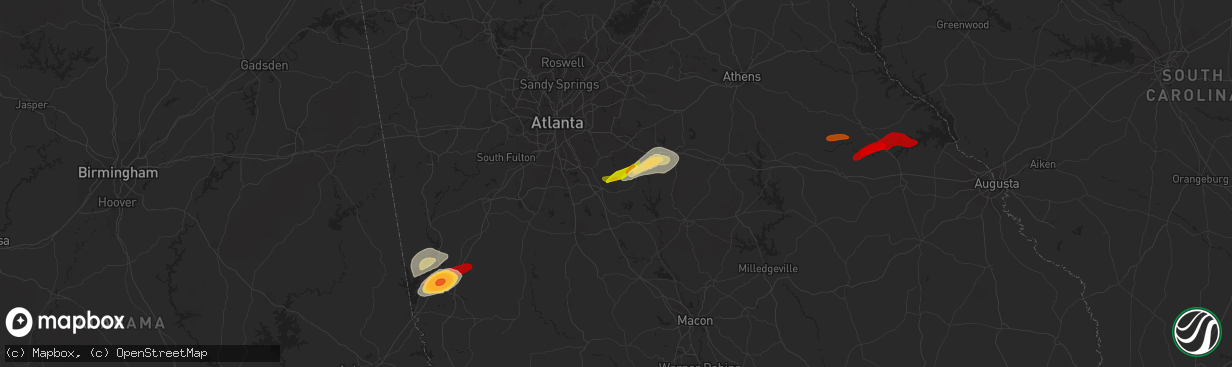
Hail Map in Mcdonough, GA on April 28, 2013
The weather event in Mcdonough, GA on April 28, 2013 includes Hail map. 3 states and 18 cities were impacted and suffered possible damage. The total estimated number of properties impacted is 3,091.
Hail
3,091
Estimated number of impacted properties by a 1.00" hail or larger0
Estimated number of impacted properties by a 1.75" hail or larger0
Estimated number of impacted properties by a 2.50" hail or largerStorm reports in Mcdonough, GA
Mcdonough, GA
| Date | Description |
|---|---|
| 04/28/20132:30 PM CDT | One large oak tree down along ga hwy 20 about 5 miles east of mcdonough. |
| 04/28/20132:20 PM CDT | A weak ef-0 tornado touched down at turner church road and north ola road. A tree was downed at that location. The tornado then lifted and touched down in the sleepy ho |


