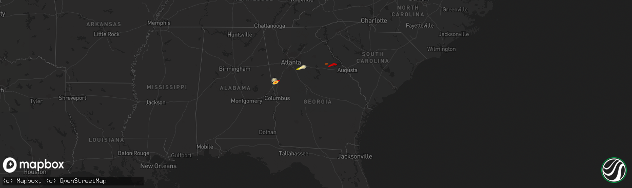
Hail Map in Georgia on April 28, 2013
The weather event in Georgia on April 28, 2013 includes Hail map. 3 states and 18 cities were impacted and suffered possible damage. The total estimated number of properties impacted is 12,424.
Want more than just the map?
Turn this storm into a full workflow.
- Owner + property data so you know who to knock
- OnDemand branded weather history reports to win the "did we even have hail?" argument
- RoofTrace estimate so reps stop guessing numbers at the door
Bought this map? Upgrade within 7 days and we'll credit the $230. (10-15 min setup call)
Hail
12,424
Estimated number of impacted properties by a 1.00" hail or larger19,128
Estimated number of impacted properties by a 1.75" hail or larger10,030
Estimated number of impacted properties by a 2.50" hail or largerStorm reports in Georgia
Georgia
| Date | Description |
|---|---|
| 04/28/20135:10 PM CDT | Numerous limbs along with several large limbs down at winfield corps campground. Dime size hail was also reported. Tstm wnd dmg duration 2 minutes |
| 04/28/20134:51 PM CDT | Media relayed a report of a tree down in warner robins. |
| 04/28/20134:42 PM CDT | Em relayed a report of 4 trees down across southern crawford county. |
| 04/28/20134:05 PM CDT | One tree and several powerlines down with 15 homes without power. This was near the center of town on troke drive off hwy 47. |
| 04/28/20133:55 PM CDT | Quarter size hail reported southwest of washington. |
| 04/28/20133:55 PM CDT | Media relayed a report of four trees down in oglethorpe. One tree fell on a car. |
| 04/28/20133:47 PM CDT | Emergency manager reported one tree down near union point. |
| 04/28/20132:56 PM CDT | The public relayed a report of quarter sized hail in covington. |
| 04/28/20132:43 PM CDT | A series of reports were received from the public from locations extending from sw covington through covington. |
| 04/28/20132:30 PM CDT | One large oak tree down along ga hwy 20 about 5 miles east of mcdonough. |
| 04/28/20132:20 PM CDT | A weak ef-0 tornado touched down at turner church road and north ola road. A tree was downed at that location. The tornado then lifted and touched down in the sleepy ho |
| 04/28/20131:56 PM CDT | Public relayed a report of baseball sized hail and damage to windows...cars and roofs. |
| 04/28/20131:55 PM CDT | Several public sources reported quarter to golf ball size hail covering the ground in lagrange. |
| 04/28/201312:32 PM CDT | Emergency manager relayed a report of trees down in the martin mill road area. A garage was also reported as significantly damaged. |
| 04/28/201312:30 PM CDT | A nws damage survey team determined than an ef0 tornado with maximum winds of 85 mph touched down just east of moreland near martin mill rd and windom dr. The majority |


