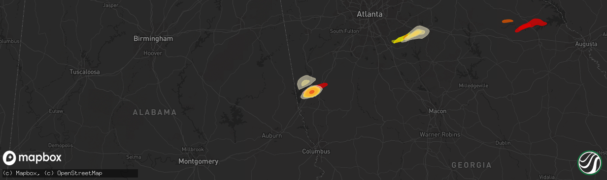
Hail Map in Lagrange, GA on April 28, 2013
The weather event in Lagrange, GA on April 28, 2013 includes Hail map. 3 states and 18 cities were impacted and suffered possible damage. The total estimated number of properties impacted is 0.
Hail
0
Estimated number of impacted properties by a 1.00" hail or larger17,810
Estimated number of impacted properties by a 1.75" hail or larger10,030
Estimated number of impacted properties by a 2.50" hail or largerStorm reports in Lagrange, GA
Lagrange, GA
| Date | Description |
|---|---|
| 04/28/20131:56 PM CDT | Public relayed a report of baseball sized hail and damage to windows...cars and roofs. |
| 04/28/20131:55 PM CDT | Several public sources reported quarter to golf ball size hail covering the ground in lagrange. |


