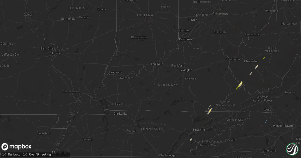
Hail Map in Kentucky on April 11, 2024
Get this storm
April 11 map
$229
one time, instant access
Download today. No call, no setup
Keep the $229
Bought the map and want the full workflow? Apply the entire $229 to a subscription within 7 days. None of it is wasted.
Every map, not just this one
This buys you this map. Subscription and you get every map we run, in the markets you choose from a few cities to whole states to nationwide. Plus real-time alerts the moment a storm fires.
Contact data
Name, contact info, occupancy, even credit band for addresses in the footprint. You go from where it hit to who to call.
Become the source they trust
Unlimited branding weather history reports on demand. You already have the documented answer ready for the property owner, and you are the one who showed up with it.
Property data and RoofTrace estimates
Pull up any address you have got, its value and the exact code rules for that jurisdiction, straight from One Click Code. Then RoofTrace estimates the squares, pitch, and roof value, priced the way you price.
Storm reports in Kentucky
Kentucky
| Date | Description |
|---|---|
| 04/11/20243:50 PM CDT | Magoffin county highway garage reported a tree down between mm 1 and 2 on ky-867. Time estimated from radar. |
| 04/11/20242:50 PM CDT | Pike county highway garage reported several trees down along ky-2059 between mm 6 and 7. Time estimated from radar. |
| 04/11/20242:42 PM CDT | Pike county highway garage reported several trees down along ky-194 between mm 55 and 56. Time estimated from radar. |
| 04/11/20242:35 PM CDT | Pike county highway garage reported several trees down along ky-194 between mm 44 and 47. Time estimated from radar. |
All States Impacted by Hail Map on April 11, 2024
Cities Impacted by Hail Map on April 11, 2024
- Cedar Key, FL
- Saint Augustine, FL
- Clearwater Beach, FL
- Tampa, FL
- Mouthcard, KY
- Lick Creek, KY
- Fedscreek, KY
- Steele, KY
- Kimper, KY
- Phelps, KY
- Freeburn, KY
- Majestic, KY
- Matewan, WV
- Delbarton, WV
- Stopover, KY
- Madisonville, TN
- Vonore, TN
- Seth, WV
- Bim, WV
- Twilight, WV
- Wharton, WV
- Gallagher, WV
- Hansford, WV
- Eskdale, WV
- Montgomery, WV
- Cedar Grove, WV
- Handley, WV
- London, WV
- Clay, WV
- Ronda, NC
- Roaring River, NC
- Wilkesboro, NC
- Moravian Falls, NC
- North Wilkesboro, NC
- Bishop, TX
- Odem, TX
- Taft, TX
- Sinton, TX
- Kingsville, TX
- Ewing, VA
- Rose Hill, VA
- Wallins Creek, KY
- Tazewell, TN
- Harrogate, TN
- Harlan, KY
- Miracle, KY
- Mount Ulla, NC
- Callands, VA


