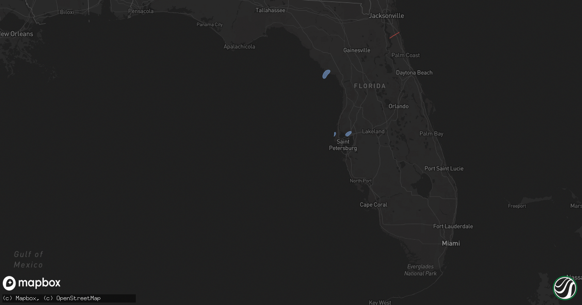
Hail Map in Florida on April 11, 2024
Get this storm
April 11 map
$229
one time, instant access
Download today. No call, no setup
Keep the $229
Bought the map and want the full workflow? Apply the entire $229 to a subscription within 7 days. None of it is wasted.
Every map, not just this one
This buys you this map. Subscription and you get every map we run, in the markets you choose from a few cities to whole states to nationwide. Plus real-time alerts the moment a storm fires.
Contact data
Name, contact info, occupancy, even credit band for addresses in the footprint. You go from where it hit to who to call.
Become the source they trust
Unlimited branding weather history reports on demand. You already have the documented answer ready for the property owner, and you are the one who showed up with it.
Property data and RoofTrace estimates
Pull up any address you have got, its value and the exact code rules for that jurisdiction, straight from One Click Code. Then RoofTrace estimates the squares, pitch, and roof value, priced the way you price.
Storm reports in Florida
Florida
| Date | Description |
|---|---|
| 04/11/202412:40 PM CDT | Delayed report of 2 trees down in crescent city on route 17. Time estimated by radar. |
| 04/11/202412:05 PM CDT | Delayed report. Emergency management reported two trees down. One on freemont turn and another on frontier drive. Time estimated by radar. |
| 04/11/202412:00 PM CDT | Mesonet station 1829w fswn tampa international airport. |
| 04/11/202411:40 AM CDT | Corrects previous tstm wnd dmg report from 1 sse crescent city. Delayed report of 2 trees down in crescent city on route 17. Time estimated by radar. |
| 04/11/202411:40 AM CDT | Branch fell on a car just south of junction road and east of us 17. Time estimated by radar. |
| 04/11/202410:37 AM CDT | *** 1 inj *** nws damage survey results concluded that began along county road 13 and extended across portions of the trailmark and samara lakes neighborhoods in wester |
| 04/11/20249:38 AM CDT | Nassau county emergency management reports a powerline downed by strong winds across buccaneer trail near mcarthur estates. Time of damage based on radar data. |
| 04/11/20248:54 AM CDT | Tree down near hwy 19 and cr326 near gulf hammock. |
| 04/11/20248:40 AM CDT | Mesonet station 1057w 0.8 se cedar key |
| 04/11/20248:19 AM CDT | Trees and power lines down across the road. |
| 04/11/20247:25 AM CDT | Fallen trees or limbs resulted in a power outage. |
All States Impacted by Hail Map on April 11, 2024
Cities Impacted by Hail Map on April 11, 2024
- Cedar Key, FL
- Saint Augustine, FL
- Clearwater Beach, FL
- Tampa, FL
- Mouthcard, KY
- Lick Creek, KY
- Fedscreek, KY
- Steele, KY
- Kimper, KY
- Phelps, KY
- Freeburn, KY
- Majestic, KY
- Matewan, WV
- Delbarton, WV
- Stopover, KY
- Madisonville, TN
- Vonore, TN
- Seth, WV
- Bim, WV
- Twilight, WV
- Wharton, WV
- Gallagher, WV
- Hansford, WV
- Eskdale, WV
- Montgomery, WV
- Cedar Grove, WV
- Handley, WV
- London, WV
- Clay, WV
- Ronda, NC
- Roaring River, NC
- Wilkesboro, NC
- Moravian Falls, NC
- North Wilkesboro, NC
- Bishop, TX
- Odem, TX
- Taft, TX
- Sinton, TX
- Kingsville, TX
- Ewing, VA
- Rose Hill, VA
- Wallins Creek, KY
- Tazewell, TN
- Harrogate, TN
- Harlan, KY
- Miracle, KY
- Mount Ulla, NC
- Callands, VA


