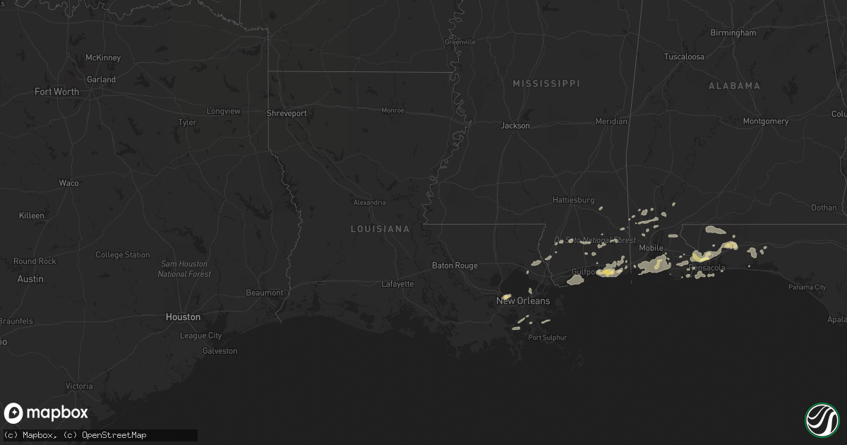
Hail Map in Louisiana on March 9, 2011
Get this storm
March 9 map
$229
one time, instant access
Download today. No call, no setup
Keep the $229
Bought the map and want the full workflow? Apply the entire $229 to a subscription within 7 days. None of it is wasted.
Every map, not just this one
This buys you this map. Subscription and you get every map we run, in the markets you choose from a few cities to whole states to nationwide. Plus real-time alerts the moment a storm fires.
Contact data
Name, contact info, occupancy, even credit band for addresses in the footprint. You go from where it hit to who to call.
Become the source they trust
Unlimited branding weather history reports on demand. You already have the documented answer ready for the property owner, and you are the one who showed up with it.
Property data and RoofTrace estimates
Pull up any address you have got, its value and the exact code rules for that jurisdiction, straight from One Click Code. Then RoofTrace estimates the squares, pitch, and roof value, priced the way you price.
Storm reports in Louisiana
Louisiana
| Date | Description |
|---|---|
| 03/09/20117:12 AM CST | Reports of damage in slidell. Trees down. Roof damage and possibly structural damage subdivisions of lake village lake washington. Power outages in city. |
| 03/09/20116:53 AM CST | Numerous trees down and residences with damage in lake village subdivision. Walls blown in and at least two homes with roofs blown off. |
| 03/09/20116:52 AM CST | Tree and roof damage and patio torn off house in meadowlake subdivision...possible tornado. |
| 03/09/20116:52 AM CST | Tornado touched down near pearl drive and azalea lane and and proceeded north-northeast for approximately 2 miles to near davis landing road. Approximately 30 homes dam |
| 03/09/20116:30 AM CST | A 77 mph wind gust was measured at new orleans international airport. |
| 03/09/20116:12 AM CST | Meteorologist reports rain wrapped tornado near kenner moving into lake pontchartrain. |
| 03/09/20116:10 AM CST | A couple power poles blown down...minor fence damage...tree fell onto corner of house on platt st...traffic lights twisted on joe yenni blvd...possible tornado. |
| 03/09/20116:10 AM CST | Meteorologist reports rain wrapped tornado near kenner moving into lake pontchartrain. |
| 03/09/20116:08 AM CST | A couple power poles blown down...minor fence damage along joe yenni blvd...a few trees uprooted and one fell onto corner of house on platt st...traffic lights twisted |
Cities Impacted by Hail Map on March 9, 2011
- Lillian, AL
- Pensacola, FL
- Ocean Springs, MS
- Gulf Breeze, FL
- Moultrie, GA
- Greenville, FL
- Summerdale, AL
- Elberta, AL
- Robertsdale, AL
- Foley, AL
- Holt, FL
- Milton, FL
- Grand Bay, AL
- Fairhope, AL
- Irvington, AL
- Coden, AL
- Bayou La Batre, AL
- Theodore, AL
- Daphne, AL
- Lucedale, MS
- Lebanon, TN
- Mount Juliet, TN
- Cantonment, FL
- Jay, FL
- Axis, AL
- Little River, AL
- Orange Beach, AL
- Beaumont, MS
- Eglin Afb, FL
- Perkinston, MS
- Braithwaite, LA
- Monticello, FL
- Defuniak Springs, FL
- Port Sulphur, LA
- Moss Point, MS
- Vancleave, MS
- Pascagoula, MS
- Chunchula, AL
- Citronelle, AL
- Gautier, MS
- Pass Christian, MS
- Bay Minette, AL
- Poplarville, MS
- Biloxi, MS
- Diberville, MS
- Niceville, FL
- Eight Mile, AL
- Saraland, AL
- Carriere, MS
- Picayune, MS
- Baker, FL
- Saint Rose, LA
- Saucier, MS
- Bagdad, FL
- Seminole, AL
- Pearl River, LA
- Lacombe, LA
- Lafitte, LA
- McIntosh, AL
- Deer Park, AL
- New Orleans, LA
- Live Oak, FL
- Kenner, LA
- Barataria, LA
- Shalimar, FL
- Mount Vernon, AL
- Silverhill, AL
- Eustis, FL
- Stockton, AL


