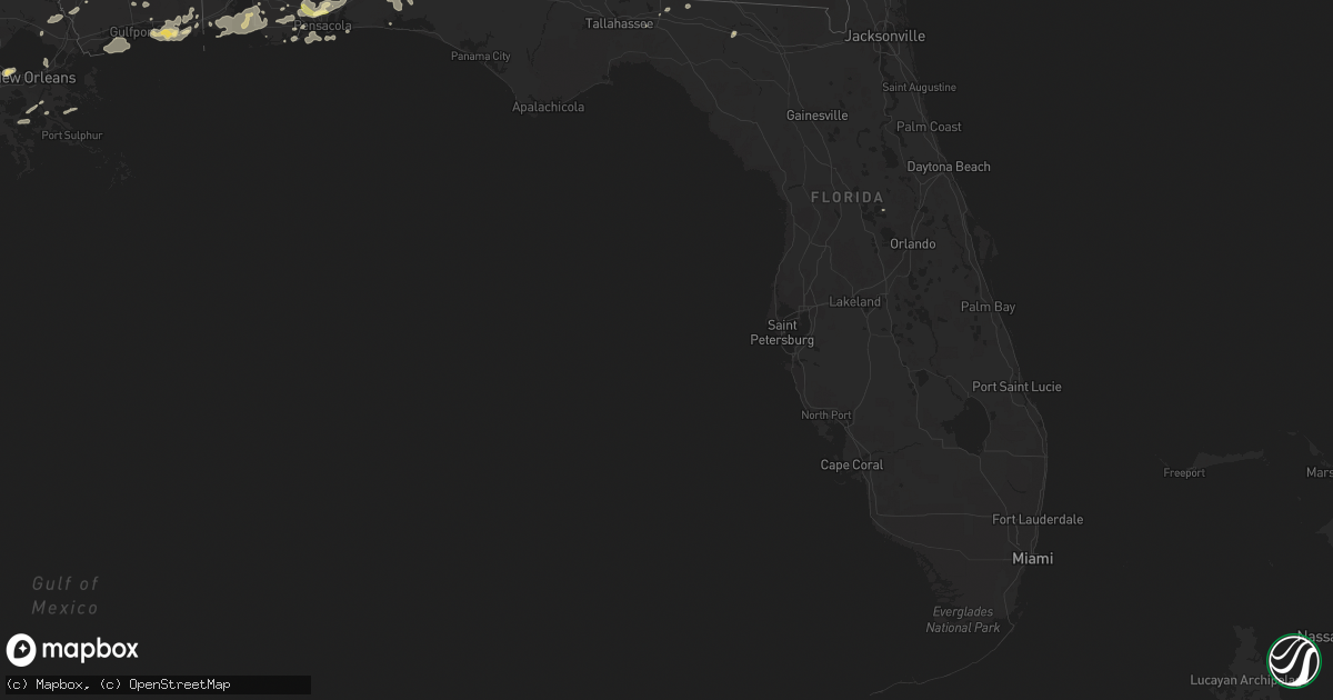
Hail Map in Florida on March 9, 2011
Get this storm
March 9 map
$229
one time, instant access
Download today. No call, no setup
Keep the $229
Bought the map and want the full workflow? Apply the entire $229 to a subscription within 7 days. None of it is wasted.
Every map, not just this one
This buys you this map. Subscription and you get every map we run, in the markets you choose from a few cities to whole states to nationwide. Plus real-time alerts the moment a storm fires.
Contact data
Name, contact info, occupancy, even credit band for addresses in the footprint. You go from where it hit to who to call.
Become the source they trust
Unlimited branding weather history reports on demand. You already have the documented answer ready for the property owner, and you are the one who showed up with it.
Property data and RoofTrace estimates
Pull up any address you have got, its value and the exact code rules for that jurisdiction, straight from One Click Code. Then RoofTrace estimates the squares, pitch, and roof value, priced the way you price.
Storm reports in Florida
Florida
| Date | Description |
|---|---|
| 03/09/201110:16 AM CST | Street sign bent over and a tree down in yard near the five thousand block of alabama street. |
| 03/09/201110:07 AM CST | Moderate damage to shed. Estimated damage value 5000.00. Building located on timber ridge drive. |
| 03/09/201110:01 AM CST | Hail reported along ten mile road north of pensacola. |
| 03/09/20119:30 AM CST | Escambia county 911 reported five structures with heavy damage along the two-hundred block of main street. |
| 03/09/20119:28 AM CST | Eleven homes were damaged along the path. Two homes were damaged by falling trees. A home on main street was shifted off of its foundation...while another suffered sign |
| 03/09/20119:23 AM CST | Damage to an unknown number of homes were reported with trees downed on the homes. Confirmed by emergency manager. |
| 03/09/20119:22 AM CST | Tornado spotted near the corner of mayhill road and highway 99. |
| 03/08/20118:23 PM CST | A tree was reported down across martin luther king street. |
| 03/08/20118:15 PM CST | Power wires reported down at 208 north state street. |
Cities Impacted by Hail Map on March 9, 2011
- Lillian, AL
- Pensacola, FL
- Ocean Springs, MS
- Gulf Breeze, FL
- Moultrie, GA
- Greenville, FL
- Summerdale, AL
- Elberta, AL
- Robertsdale, AL
- Foley, AL
- Holt, FL
- Milton, FL
- Grand Bay, AL
- Fairhope, AL
- Irvington, AL
- Coden, AL
- Bayou La Batre, AL
- Theodore, AL
- Daphne, AL
- Lucedale, MS
- Lebanon, TN
- Mount Juliet, TN
- Cantonment, FL
- Jay, FL
- Axis, AL
- Little River, AL
- Orange Beach, AL
- Beaumont, MS
- Eglin Afb, FL
- Perkinston, MS
- Braithwaite, LA
- Monticello, FL
- Defuniak Springs, FL
- Port Sulphur, LA
- Moss Point, MS
- Vancleave, MS
- Pascagoula, MS
- Chunchula, AL
- Citronelle, AL
- Gautier, MS
- Pass Christian, MS
- Bay Minette, AL
- Poplarville, MS
- Biloxi, MS
- Diberville, MS
- Niceville, FL
- Eight Mile, AL
- Saraland, AL
- Carriere, MS
- Picayune, MS
- Baker, FL
- Saint Rose, LA
- Saucier, MS
- Bagdad, FL
- Seminole, AL
- Pearl River, LA
- Lacombe, LA
- Lafitte, LA
- McIntosh, AL
- Deer Park, AL
- New Orleans, LA
- Live Oak, FL
- Kenner, LA
- Barataria, LA
- Shalimar, FL
- Mount Vernon, AL
- Silverhill, AL
- Eustis, FL
- Stockton, AL


