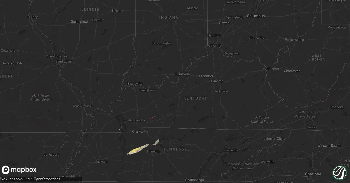
Hail Map in Kentucky on January 2, 2023
Get this storm
January 2 map
$229
one time, instant access
Download today. No call, no setup
Keep the $229
Bought the map and want the full workflow? Apply the entire $229 to a subscription within 7 days. None of it is wasted.
Every map, not just this one
This buys you this map. Subscription and you get every map we run, in the markets you choose from a few cities to whole states to nationwide. Plus real-time alerts the moment a storm fires.
Contact data
Name, contact info, occupancy, even credit band for addresses in the footprint. You go from where it hit to who to call.
Become the source they trust
Unlimited branding weather history reports on demand. You already have the documented answer ready for the property owner, and you are the one who showed up with it.
Property data and RoofTrace estimates
Pull up any address you have got, its value and the exact code rules for that jurisdiction, straight from One Click Code. Then RoofTrace estimates the squares, pitch, and roof value, priced the way you price.
Storm reports in Kentucky
Kentucky
| Date | Description |
|---|---|
| 01/02/20235:01 AM CST | Trees down at 181/latham. Trees also down on dee road. |
| 01/02/20234:30 AM CST | Roof torn off part of house. Several trees uprooted. Damage was along pyle ln near cox mill road. Time estimated by radar. |
| 01/02/20234:25 AM CST | Trees down near herndon. Time estimated by radar. |
| 01/02/20233:30 AM CST | Trees down along princeton road... Time estimated by radar. |
| 01/02/20232:50 AM CST | Trees down on hwy 259 south near mcclure cemetery road. |
| 01/02/20232:00 AM CST | Tree down on sandy creek road. |
All States Impacted by Hail Map on January 2, 2023
Cities Impacted by Hail Map on January 2, 2023
- Council Hill, OK
- Checotah, OK
- Henderson, TX
- Wright City, OK
- Des Arc, AR
- Hazen, AR
- Bon Aqua, TN
- Dickson, TN
- Lyles, TN
- Indianola, OK
- Hanna, OK
- Jonesboro, LA
- Fairview, TN
- Burns, TN
- White Bluff, TN
- Kingston Springs, TN
- Calvert, TX
- Cameron, TX
- Jewett, TX
- Buffalo, TX
- Marquez, TX
- Mount Enterprise, TX
- Carthage, TX
- Timpson, TX
- Alto, TX
- Long Branch, TX
- Douglass, TX
- Garrison, TX
- Nacogdoches, TX
- Cushing, TX
- Gary, TX
- Chouteau, OK
- Wagoner, OK
- Muskogee, OK
- Porter, OK
- Montrose, AR
- Downsville, LA
- West Monroe, LA
- Sterlington, LA
- Calhoun, LA
- Choudrant, LA
- Farmerville, LA
- De Witt, AR
- Gillett, AR
- Snow Lake, AR
- Monticello, AR
- Tillar, AR
- McGehee, AR
- Dermott, AR
- Watson, AR
- Eros, LA
- Brookston, TX
- Pryor, OK
- Mcalester, OK
- Hulbert, OK
- Humnoke, AR
- Tucker, AR
- England, AR
- Altheimer, AR
- Wilmar, AR
- Goldonna, LA
- Beckville, TX
- Thorndale, TX
- Jacksonville, TX
- Nashville, TN
- Petty, TX
- Roxton, TX
- Detroit, TX
- Only, TN
- McEwen, TN
- Hurricane Mills, TN
- Nunnelly, TN
- Warner, OK
- Eufaula, OK
- Vian, OK
- Gore, OK
- Porum, OK
- Stigler, OK
- Whitefield, OK
- Webbers Falls, OK
- Quinton, OK
- Adair, OK
- Big Cabin, OK
- Vinita, OK
- Braggs, OK
- Grapeland, TX
- Claremore, OK
- Bossier City, LA
- Shreveport, LA
- Haughton, LA
- Barksdale Afb, LA
- Chatham, LA
- Honey Grove, TX
- Collinston, LA
- Monroe, LA
- Bastrop, LA
- Mer Rouge, LA
- Oak Grove, LA
- Jones, LA
- Oak Ridge, LA
- Dodson, LA
- Winnfield, LA
- Madison, TN
- Old Hickory, TN
- Hendersonville, TN
- Carlisle, AR
- Fort Gibson, OK
- San Augustine, TX
- Rockdale, TX
- Valliant, OK
- Powderly, TX
- Sumner, TX
- Paris, TX
- Benton, LA
- Tahlequah, OK
- Fountain Hill, AR
- New Concord, KY
- Elkton, KY
- Arthur City, TX
- Laneville, TX
- Canadian, OK
- Pomona, KS
- Ottawa, KS
- Williamsburg, KS
- Paris, AR
- Stuart, OK
- Oktaha, OK
- Hugo, OK
- Pegram, TN
- Waverly, TN
- Centerville, TN
- Lobelville, TN
- Chireno, TX
- De Berry, TX
- Rusk, TX
- Saline, LA
- Arkansas City, AR
- Rohwer, AR
- Lake Village, AR
- Portland, AR
- Pleasant Hill, LA
- Coushatta, LA
- Quitman, LA
- Russellville, KY
- Brownsville, TN
- Jessieville, AR
- Homer, LA
- Haynesville, LA


