Hail Map in Illinois on October 17, 2012
Get this storm
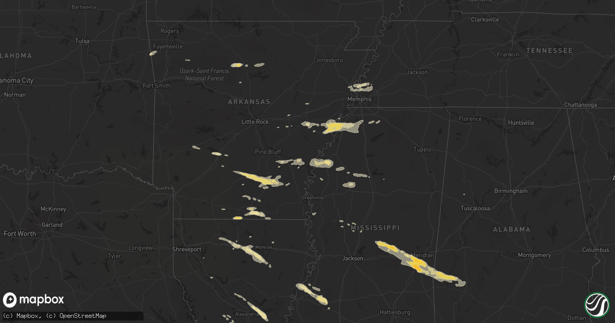
October 17 map
$229
one time, instant access
Download today. No call, no setup
Keep the $229
Bought the map and want the full workflow? Apply the entire $229 to a subscription within 7 days. None of it is wasted.
Every map, not just this one
This buys you this map. Subscription and you get every map we run, in the markets you choose from a few cities to whole states to nationwide. Plus real-time alerts the moment a storm fires.
Contact data
Name, contact info, occupancy, even credit band for addresses in the footprint. You go from where it hit to who to call.
Become the source they trust
Unlimited branding weather history reports on demand. You already have the documented answer ready for the property owner, and you are the one who showed up with it.
Property data and RoofTrace estimates
Pull up any address you have got, its value and the exact code rules for that jurisdiction, straight from One Click Code. Then RoofTrace estimates the squares, pitch, and roof value, priced the way you price.
Storm reports in Illinois
Illinois
| Date | Description |
|---|---|
| 10/17/20126:40 PM CDT | Fence blown down in residential area on east side of williamsville. Time estimated. |
| 10/17/20126:35 PM CDT | Late report...microburst with wind speed estimated 90 mph...occurred south and southeast of town mainly along hwy 14. Several roofs damaged on homes and farm buildings. |
| 10/17/20126:25 PM CDT | Relayed from the litchfield pd...numerous trees snapped and splintered |
| 10/17/20125:55 PM CDT | Power pole and wires down |
| 10/17/20123:33 PM CDT | Off of route 16...house shifted off of foundation and steel framed machine shed sustained damage. Also...numerous power poles down in area. Time estimated from radar. |
| 10/16/20127:25 PM CDT | Power pole snapped causing a power outage on the south side of clinton. From dewitt co ema and clinton sheriff. Time estimated. |
All States Impacted by Hail Map on October 17, 2012
Cities Impacted by Hail Map on October 17, 2012
- Warren, AR
- Thornton, AR
- Fordyce, AR
- New Edinburg, AR
- Junction City, AR
- Spearsville, LA
- El Dorado, AR
- Lillie, LA
- Arkadelphia, AR
- Bogalusa, LA
- Angie, LA
- Hermitage, AR
- Ruston, LA
- Grambling, LA
- Fayette, MS
- Natchez, MS
- Lorman, MS
- Waterproof, LA
- Leslie, AR
- Dennard, AR
- Marshall, AR
- Memphis, TN
- Munford, TN
- Drummonds, TN
- Millington, TN
- Clinton, AR
- Marksville, LA
- Effie, LA
- Deville, LA
- Pineville, LA
- Pollock, LA
- Center Point, LA
- Lexa, AR
- West Helena, AR
- Newton, MS
- Decatur, MS
- Gilbertown, AL
- Thomasville, AL
- Toxey, AL
- Needham, AL
- Butler, AL
- Campbell, AL
- Tunica, MS
- Schlater, MS
- Quitman, MS
- Enterprise, MS
- Stonewall, MS
- Yazoo City, MS
- Carlisle, AR
- Gould, AR
- Tichnor, AR
- Gillett, AR
- Amity, AR
- Glenwood, AR
- Gunnison, MS
- Alligator, MS
- Shelby, MS
- Duncan, MS
- Huttig, AR
- Strong, AR
- Simsboro, LA
- Arcadia, LA
- Elmer, LA
- Hineston, LA
- Grenada, MS
- Smithdale, MS
- Grady, AR
- Malvern, AR
- Donaldson, AR
- Boyce, LA
- Brinkley, AR
- Clarendon, AR
- Holly Grove, AR
- Wilmar, AR
- Marble Hill, MO
- Kountze, TX
- Dermott, AR
- Tillar, AR
- Coldwater, MS
- Poplar Grove, AR
- Marianna, AR
- Dundee, MS
- Tilly, AR
- Louise, MS
- Charleston, MS
- Pickens, MS
- Hermann, MO
- Lake Arthur, LA
- Jennings, LA
- Forest, MS
- Walnut Grove, MS
- Conehatta, MS
- Hampton, AR
- Reeves, LA
- Ragley, LA
- Philipp, MS
- Holcomb, MS
- Stockton, MO
- Hickory, MS
- Lena, MS
- Atoka, TN
- Benton, MS
- Ringgold, LA
- McCall Creek, MS
- Meadville, MS
- Roxie, MS
- Union Church, MS
- Rose Hill, MS
- Grove Hill, AL
- Lake, MS
- Louin, MS
- Lawrence, MS
- Coffeeville, AL
- Chunky, MS
- Meridian, MS
- Crossett, AR
- Hamburg, AR
- Eros, LA
- West Monroe, LA
- Glenmora, LA
- Greenwood, MS
- Banks, AR
- Kingsland, AR
- Monticello, AR
- Rison, AR
- Bearden, AR
- Sparkman, AR
- Columbia, LA
- Choudrant, LA
- Calhoun, LA
- Monroe, LA
- Byhalia, MS
- Collinston, LA
- Drew, MS
- Tutwiler, MS
- Parchman, MS
- Jackson, MO
- Cape Girardeau, MO
- Turrell, AR
- Marion, AR
- Crawfordsville, AR
- Arlington, TN
- Leesville, LA
- Saint Paul, AR
- Moreauville, LA
- Poplarville, MS
- Senatobia, MS
- Helena, AR
- Hernando, MS
- Sarah, MS
- Yorktown, AR
- Fox, AR
- Shirley, AR
- Mountain View, AR
- Edgemont, AR
- Ville Platte, LA
- Stuttgart, AR
- Hazen, AR
- Chatham, MS
- Hollandale, MS
- Saucier, MS
- Lincoln, AR
- Westville, OK
- Elkville, IL
- Dowell, IL
- Du Quoin, IL
- Bentley, LA
- Biscoe, AR
- Bernice, LA
- Dubach, LA
- Homer, LA
- Athens, LA
- Carthage, TX
- Downsville, LA
- Snow Lake, AR
- Mound Bayou, MS
- Clarksdale, MS
- Aubrey, AR
- Dry Prong, LA
- Star City, AR
- Coushatta, LA
- Center Ridge, AR
- Vaughan, MS
- Stilwell, OK
- Summers, AR
- Colfax, LA
- Atlanta, LA
- Perkinston, MS
- McHenry, MS
- Hunter, AR
- Cotton Plant, AR
- Watson, AR
- Cleveland, MS
- Fayette, AL
- Marvell, AR
- Brickeys, AR
- Jersey, AR
- Magnolia, AR
- Gore Springs, MS
- De Valls Bluff, AR


