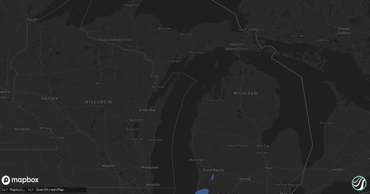
Hail Map in Michigan on October 11, 2021
Get this storm
October 11 map
$229
one time, instant access
Download today. No call, no setup
Keep the $229
Bought the map and want the full workflow? Apply the entire $229 to a subscription within 7 days. None of it is wasted.
Every map, not just this one
This buys you this map. Subscription and you get every map we run, in the markets you choose from a few cities to whole states to nationwide. Plus real-time alerts the moment a storm fires.
Contact data
Name, contact info, occupancy, even credit band for addresses in the footprint. You go from where it hit to who to call.
Become the source they trust
Unlimited branding weather history reports on demand. You already have the documented answer ready for the property owner, and you are the one who showed up with it.
Property data and RoofTrace estimates
Pull up any address you have got, its value and the exact code rules for that jurisdiction, straight from One Click Code. Then RoofTrace estimates the squares, pitch, and roof value, priced the way you price.
Storm reports in Michigan
Michigan
| Date | Description |
|---|---|
| 10/11/20216:36 PM CDT | Multiple trees and power lines down. |
| 10/11/20216:36 PM CDT | Tree fell over road and on a car that was driving on the road... Report of minor injuries. |
| 10/11/20216:31 PM CDT | 3 foot diameter tree down. |
| 10/11/20216:28 PM CDT | 3 foot diameter tree down... Hit by car... No injuries. |
| 10/11/20216:20 PM CDT | Em reports several trees down in buchanan - cayuga stree/main area. |
| 10/11/20216:09 PM CDT | Tree down onto road at cass and mars street. Car ran into... But no injuries. |
| 10/11/20213:34 AM CDT | At 834 PM EDT, a severe thunderstorm was located near Cutlerville, or 9 miles south of Grand Rapids, moving north at 45 mph. HAZARD...60 mph wind gusts. SOURCE...Radar indicated. IMPACT...Expect damage to roofs, siding, and trees. Locations impacted include... Grand Rapids... Wyoming... Kentwood... Walker... Grandville... East Grand Rapids... Rockford... Sparta... Ada... Cedar Springs... Dutton... Cutlerville... Belmont... Comstock Park... Northview... Byron Center... Cannonsburg... |
| 10/11/20212:27 AM CDT | At 725 PM EDT, severe thunderstorms were located along a line extending from Benton Harbor to Cassopolis, moving north at 50 mph. HAZARD...60 mph wind gusts. SOURCE...Radar indicated. IMPACT...Expect damage to roofs, siding, and trees. Locations impacted include... South Haven... Paw Paw... Hartford... Mattawan... Lawton... Bangor... Decatur... Van Buren SP... Lake Michigan Beach... Pine Grove... Covert... Keeler... Lawrence... Gobles... Bloomingdale... Breedsville... Glendale... Grand Junction... Kendall... Lacota... |
| 10/10/202111:49 PM CDT | At 448 PM EDT, a severe thunderstorm was located 11 miles northwest of Evart, moving northeast at 40 mph. HAZARD...60 mph wind gusts and penny size hail. SOURCE...Radar indicated. IMPACT...Expect damage to roofs, siding, and trees. Locations impacted include... Highland... Le Roy... Tustin... Dighton... |
| 10/10/20218:19 PM CDT | Report of tree fallen on home...relayed by newaygo co 911. Time estimated from radar. |
| 10/10/20218:12 PM CDT | Photo of downed utility pole at 22 mile rd ne & whitefish rd...relayed via social media. Time estimated from radar. |
| 10/10/20217:37 PM CDT | Reports of multiple large limbs down...relayed via social media. Time estimated from radar. |
| 10/10/20217:30 PM CDT | Delayed report. Tree uprooted and damaged metal fencing. Time estimated by radar. |
| 10/10/20217:15 PM CDT | 6 inch plus tree down. Was blocking traffic. |
All States Impacted by Hail Map on October 11, 2021
Cities Impacted by Hail Map on October 11, 2021
- Rosedale, IN
- Campo, CA
- Boulevard, CA
- Pine Valley, CA
- Calipatria, CA
- Brawley, CA
- Thermal, CA
- Ocotillo, CA
- Westmorland, CA
- Brookston, IN
- Royal Center, IN
- Union Mills, IN
- Kouts, IN
- Kewanna, IN
- La Crosse, IN
- Grovertown, IN
- West Lafayette, IN
- Monterey, IN
- Francesville, IN
- Medaryville, IN
- San Pierre, IN
- Otterbein, IN
- Monon, IN
- Ora, IN
- Monticello, IN
- Boswell, IN
- Fowler, IN
- Winamac, IN
- Goodland, IN
- Chalmers, IN
- Rensselaer, IN
- Burnettsville, IN
- Buffalo, IN
- Westville, IN
- Reynolds, IN
- Culver, IN
- Remington, IN
- Argos, IN
- Idaville, IN
- Hanna, IN
- Oxford, IN
- Wheatfield, IN
- Knox, IN
- North Judson, IN
- Rochester, IN
- Valparaiso, IN
- Plymouth, IN
- Star City, IN
- Hamlet, IN
- Wanatah, IN
- Wolcott, IN
- Earl Park, IN
- Thorntown, IN
- Frankfort, IN
- Flora, IN
- Cutler, IN
- Kokomo, IN
- Russiaville, IN
- Bringhurst, IN
- Logansport, IN
- Lucerne, IN
- Jacksonville, IL
- Franklin, IL
- Alexander, IL
- White Hall, IL
- Wrights, IL
- Roodhouse, IL
- Murrayville, IL
- Greenfield, IL
- Pontiac, IL
- Heyworth, IL
- Shirley, IL
- Normal, IL
- Waynesville, IL
- Lexington, IL
- Chenoa, IL
- Atlanta, IL
- Bloomington, IL
- McLean, IL
- Towanda, IL
- Lincoln, IL
- Roanoke, IL
- Washburn, IL
- Toluca, IL
- Carlock, IL
- El Paso, IL
- Hudson, IL
- Cullom, IL
- Cabery, IL
- Reddick, IL
- Forrest, IL
- Dwight, IL
- Saunemin, IL
- Buckingham, IL
- Emington, IL
- Campus, IL
- Kempton, IL
- Fairbury, IL
- Peru, IL
- Rockville, IN
- Crawfordsville, IN
- Waveland, IN
- Dowagiac, MI
- Three Oaks, MI
- New Troy, MI
- Hartford, MI
- Galien, MI
- Lawrence, MI
- Baroda, MI
- Buchanan, MI
- Sawyer, MI
- Stevensville, MI
- Covert, MI
- Niles, MI
- Coloma, MI
- Allegan, MI
- Saint Joseph, MI
- Berrien Center, MI
- Watervliet, MI
- Bangor, MI
- Gobles, MI
- Bloomingdale, MI
- Grand Junction, MI
- Pullman, MI
- Eau Claire, MI
- Sodus, MI
- Paw Paw, MI
- South Haven, MI
- Berrien Springs, MI
- Bridgman, MI
- Benton Harbor, MI
- Decatur, MI
- Grand Rapids, MI
- Byron Center, MI
- Dorr, MI
- Wayland, MI
- Mendon, MI
- White Pigeon, MI
- Constantine, MI
- Centreville, MI
- Sturgis, MI
- Leonidas, MI


