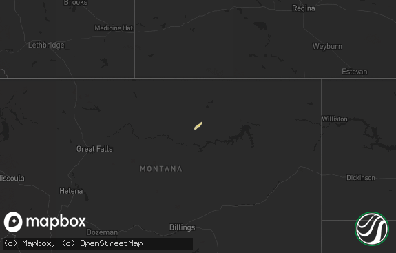
Hail Map in Montana on September 17, 2019
The weather event in Montana on September 17, 2019 includes Hail and Wind maps. 8 states and 104 cities were impacted and suffered possible damage. The total estimated number of properties impacted is 150.

Hail
Wind
150
Estimated number of impacted properties by a 1.00" hail or larger0
Estimated number of impacted properties by a 1.75" hail or larger0
Estimated number of impacted properties by a 2.50" hail or largerStorm reports in Montana
Montana
| Date | Description |
|---|---|
| 09/17/20196:35 PM CDT | Large branch broken off tree. Tin blown off outbuilding roof. |
| 09/17/20193:48 AM CDT | At 847 PM CDT/747 PM MDT/, a severe thunderstorm was located 11 miles southwest of Alexander, or 14 miles east of Sidney, moving north at 35 mph. HAZARD...60 mph wind gusts and half dollar size hail. SOURCE...Radar indicated. IMPACT...Hail damage to vehicles is expected. Expect wind damage to roofs, siding, and trees. This severe thunderstorm will be near... Alexander around 905 PM CDT. Williston around 945 PM CDT.Other locations impacted by this severe thunderstorm include SatherDam, Cartwright, Fort Buford State Historical Site, Charbonneau,Rawson, Trenton and Spring Brook. |
| 09/17/201912:45 AM CDT | At 544 PM MDT, a severe thunderstorm was located 19 miles southeast of Fallon, or 24 miles southeast of Terry, moving northeast at 35 mph. HAZARD...60 mph wind gusts and quarter size hail. SOURCE...Radar indicated. IMPACT...Hail damage to vehicles is expected. Expect wind damage to roofs, siding, and trees. Locations impacted include... Hodges and Mildred. |
| 09/16/20198:20 PM CDT | Wind observed at mdot beaver hill site. |
| 09/16/20197:25 PM CDT | Pea sized hail and heavy rain as well. |
| 09/16/20197:20 PM CDT | Measured from pine hill raws site. |
| 09/16/20197:20 PM CDT | Measured from pine hill raws site. |
All States Impacted by Hail Map on September 17, 2019
Cities Impacted by Hail Map on September 17, 2019
- Makinen, MN
- Cotton, MN
- Ely, MN
- Hinckley, MN
- Brook Park, MN
- Pierre, SD
- Harrold, SD
- Bay City, TX
- Aurora, MN
- Glendive, MT
- Savage, MT
- Wibaux, MT
- Fallon, MT
- Ismay, MT
- Epping, ND
- Ree Heights, SD
- Chokio, MN
- Milan, MN
- Cartwright, ND
- Mcgregor, ND
- Wildrose, ND
- Ray, ND
- Powers Lake, ND
- Williston, ND
- Tioga, ND
- New Town, ND
- Watford City, ND
- Lakefield, MN
- Estherville, IA
- Ortonville, MN
- Odessa, MN
- Windom, MN
- Kennebec, SD
- Presho, SD
- Roslyn, SD
- Langford, SD
- Sandstone, MN
- Ocheyedan, IA
- Arnegard, ND
- Alexander, ND
- Foley, MN
- Oak Park, MN
- Gilbert, MN
- Hulett, WY
- Babbitt, MN
- Sidney, MT
- Highmore, SD
- Sutherland, IA
- Peterson, IA
- Harris, IA
- Lake Park, IA
- Milbank, SD
- Northville, SD
- Archer, IA
- Holabird, SD
- Sauk Rapids, MN
- Ruthven, IA
- Ayrshire, IA
- Dolliver, IA
- Rozet, WY
- Spirit Lake, IA
- Sanborn, IA
- Melvin, IA
- Rice, MN
- Keystone, SD
- Detroit Lakes, MN
- Okoboji, IA
- Hartley, IA
- Hanley Falls, MN
- Granite Falls, MN
- Bradley, SD
- Faulkton, SD
- Orient, SD
- Jackson, MN
- Webster, SD
- Matagorda, TX
- Rapid City, SD
- Webb, IA
- Alamo, ND
- Bristol, SD
- Madison, MN
- Montevideo, MN
- Cresbard, SD
- Columbus, ND
- Sentinel Butte, ND
- Beach, ND
- Plevna, MT
- Baker, MT
- Tower, MN
- Blue Ridge, TX
- Trenton, TX
- Van Alstyne, TX
- Whitewright, TX
- Anna, TX
- Denison, TX
- Sherman, TX
- Savoy, TX
- Leonard, TX
- Bells, TX
- Farmersville, TX
- Princeton, TX
- Box Elder, SD
- Meeker, CO
- Craig, CO


