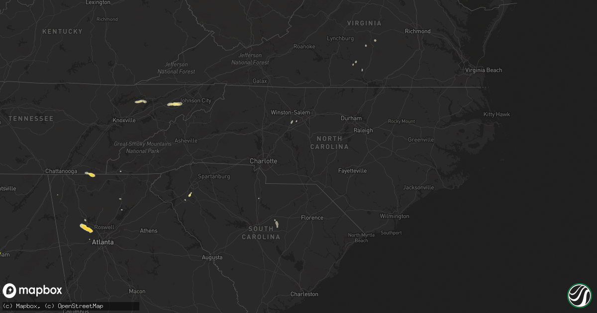
Hail Map in North Carolina on September 12, 2023
Get this storm
September 12 map
$229
one time, instant access
Download today. No call, no setup
Keep the $229
Bought the map and want the full workflow? Apply the entire $229 to a subscription within 7 days. None of it is wasted.
Every map, not just this one
This buys you this map. Subscription and you get every map we run, in the markets you choose from a few cities to whole states to nationwide. Plus real-time alerts the moment a storm fires.
Contact data
Name, contact info, occupancy, even credit band for addresses in the footprint. You go from where it hit to who to call.
Become the source they trust
Unlimited branding weather history reports on demand. You already have the documented answer ready for the property owner, and you are the one who showed up with it.
Property data and RoofTrace estimates
Pull up any address you have got, its value and the exact code rules for that jurisdiction, straight from One Click Code. Then RoofTrace estimates the squares, pitch, and roof value, priced the way you price.
Storm reports in North Carolina
North Carolina
| Date | Description |
|---|---|
| 09/12/20235:35 PM CDT | Tree down on bunker hill road. |
| 09/12/20235:34 PM CDT | Tree down at cedar knoll circle and abbotts creek circle. |
| 09/12/20235:08 PM CDT | Tree down at wilshire dr and shamrock dr. |
| 09/12/20235:08 PM CDT | Power outages caused by a tree on power lines at w cone blvd and marston rd. |
| 09/12/20234:30 PM CDT | Report of trees down at shiloh rd and salisbury hwy in statesville. Time estimated from radar. |
All States Impacted by Hail Map on September 12, 2023
Cities Impacted by Hail Map on September 12, 2023
- Alum Creek, WV
- Gainesville, GA
- Dahlonega, GA
- Belton, SC
- Williamston, SC
- Pelzer, SC
- Afton, TN
- Greeneville, TN
- Dallas, GA
- Acworth, GA
- Kennesaw, GA
- Powder Springs, GA
- Marietta, GA
- Chandler, AZ
- Cisco, GA
- Bisbee, AZ
- Saint Cloud, FL
- Chuckey, TN
- Dawsonville, GA
- Farmville, VA
- Brookneal, VA
- Nathalie, VA
- Rutledge, TN
- Mosheim, TN
- Crandall, GA
- Old Fort, TN
- Washburn, TN
- Douglasville, GA
- Lithia Springs, GA
- Elgin, AZ
- Vail, AZ
- Jesup, GA
- Screven, GA
- Odum, GA
- Limestone, TN
- Sonoita, AZ
- Cartersville, GA
- Emerson, GA
- Nahunta, GA
- Apalachicola, FL
- Brasstown, NC
- Jasper, FL
- Thomasville, NC
- Birmingham, AL
- Mesa, AZ
- Apache Junction, AZ
- Middle River, MD
- Essex, MD
- Aragon, NM
- Reserve, NM
- Jacksonville, FL
- Webster, FL
- Great Falls, SC
- Winston Salem, NC
- Lexington, NC
- Hilliard, FL
- Red Oak, VA
- Randolph, VA
- Saxe, VA
- Truth Or Consequences, NM
- Rembert, SC
- Kensington, MD
- Silver Spring, MD
- Chevy Chase, MD
- Bethesda, MD
- Bryceville, FL
- Palatka, FL
- Patterson, GA
- Folkston, GA
- Hoboken, GA
- Pamplin, VA
- Prospect, VA
- Scottsdale, AZ
- White Oak, GA
- La Fayette, GA
- Buckeye, AZ
- Blackshear, GA
- Interlachen, FL
- Easton, MD
- Black Canyon City, AZ
- Florence, AZ
- Phoenix, AZ
- Cordova, MD
- Prescott, AZ
- Casa Grande, AZ
- Mayer, AZ
- Coolidge, AZ
- Tempe, AZ
- Cave Creek, AZ
- Dalzell, SC
- Peoria, AZ
- Litchfield Park, AZ
- Congress, AZ
- Cabin John, MD
- Globe, AZ
- Peridot, AZ
- Glen Echo, MD


