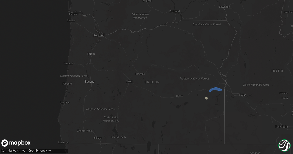
Hail Map in Oregon on September 10, 2021
Get this storm
September 10 map
$229
one time, instant access
Download today. No call, no setup
Keep the $229
Bought the map and want the full workflow? Apply the entire $229 to a subscription within 7 days. None of it is wasted.
Every map, not just this one
This buys you this map. Subscription and you get every map we run, in the markets you choose from a few cities to whole states to nationwide. Plus real-time alerts the moment a storm fires.
Contact data
Name, contact info, occupancy, even credit band for addresses in the footprint. You go from where it hit to who to call.
Become the source they trust
Unlimited branding weather history reports on demand. You already have the documented answer ready for the property owner, and you are the one who showed up with it.
Property data and RoofTrace estimates
Pull up any address you have got, its value and the exact code rules for that jurisdiction, straight from One Click Code. Then RoofTrace estimates the squares, pitch, and roof value, priced the way you price.
Storm reports in Oregon
Oregon
| Date | Description |
|---|---|
| 09/10/202112:53 AM CDT | At 552 PM MDT/452 PM PDT/, severe thunderstorms were located along a line extending from 6 miles northwest of Jonesboro to near Duck Creek Butte, moving east at 30 mph. HAZARD...60 mph wind gusts and quarter size hail. SOURCE...Radar indicated. IMPACT...Hail damage to vehicles is expected. Expect wind damage to roofs, siding, and trees. Severe thunderstorms will be near... Jonesboro and Monument Peak around 600 PM MDT. Saddle Butte and Rufino Butte around 610 PM MDT. Crowley and Monumental Rock around 620 PM MDT. Westfall, Sacramento Butte, Turnbull Mountain and Freezeout Mountain around 630 PM MDT. Harper, Cedar Mountain, Iron Point and Copeland Butte around 640 PM MDT. |
| 09/09/20218:37 PM CDT | Spotter reported strong winds with torrential rain. Power went out briefly. |
| 09/09/20218:25 PM CDT | Spotter reported strong winds with torrential rain. Power went out briefly. |


