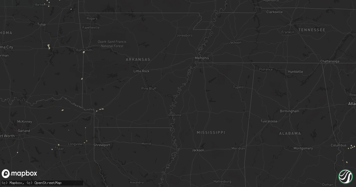
Hail Map in Oklahoma on September 1, 2022
Get this storm
September 1 map
$229
one time, instant access
Download today. No call, no setup
Keep the $229
Bought the map and want the full workflow? Apply the entire $229 to a subscription within 7 days. None of it is wasted.
Every map, not just this one
This buys you this map. Subscription and you get every map we run, in the markets you choose from a few cities to whole states to nationwide. Plus real-time alerts the moment a storm fires.
Contact data
Name, contact info, occupancy, even credit band for addresses in the footprint. You go from where it hit to who to call.
Become the source they trust
Unlimited branding weather history reports on demand. You already have the documented answer ready for the property owner, and you are the one who showed up with it.
Property data and RoofTrace estimates
Pull up any address you have got, its value and the exact code rules for that jurisdiction, straight from One Click Code. Then RoofTrace estimates the squares, pitch, and roof value, priced the way you price.
Storm reports in Oklahoma
Oklahoma
| Date | Description |
|---|---|
| 09/01/20224:59 AM CDT | At 958 PM CDT, a severe thunderstorm was located 5 miles southeast of Quail, or 6 miles west of Wellington, moving south at 25 mph. HAZARD...60 mph wind gusts. SOURCE...Radar indicated. IMPACT...Expect damage to roofs, siding, and trees. Locations impacted include... Childress, Memphis and Estelline. |
| 09/01/20224:35 AM CDT | At 935 PM CDT, a severe thunderstorm was located 4 miles southwest of Samnorwood, or 13 miles northwest of Wellington, moving south at 55 mph. HAZARD...60 mph wind gusts. SOURCE...Radar indicated. IMPACT...Minor damage to roofs, siding, and trees is possible. Locations impacted include... Wellington, Dodson, Dozier, Lutie, Samnorwood and Quail. |
| 09/01/20223:06 AM CDT | At 805 PM CDT, a severe thunderstorm was located near Rocky, moving southeast at 15 mph. HAZARD...60 mph wind gusts. SOURCE...Radar indicated. IMPACT...Expect damage to roofs, siding, and trees. Locations impacted include... Hobart, Sentinel, Lone Wolf, Gotebo and Rocky. |
| 09/01/20222:24 AM CDT | At 723 PM CDT, a severe thunderstorm was located near Burns Flat, moving southeast at 20 mph. HAZARD...60 mph wind gusts and nickel size hail. SOURCE...Radar indicated. IMPACT...Expect damage to roofs, siding, and trees. Locations impacted include... Cordell, Burns Flat, Sentinel, Dill City, Canute, Bessie and Rocky. |
| 09/01/202212:44 AM CDT | At 544 PM CDT, a severe thunderstorm was located near Moorewood, moving south at 5 mph. HAZARD...60 mph wind gusts and quarter size hail. SOURCE...Radar indicated. IMPACT...Hail damage to vehicles is expected. Expect wind damage to roofs, siding, and trees. Locations impacted include... Moorewood. |
| 09/01/202212:29 AM CDT | At 529 PM CDT, a severe thunderstorm was located 7 miles southeast of Slapout, moving south at 10 mph. HAZARD...60 mph wind gusts and quarter size hail. SOURCE...Radar indicated. IMPACT...Hail damage to vehicles is expected. Expect wind damage to roofs, siding, and trees. Locations impacted include... Catesby. |
| 09/01/202212:05 AM CDT | At 505 PM CDT, a severe thunderstorm was located near Higgins, moving southeast at 5 mph. HAZARD...60 mph wind gusts and quarter size hail. SOURCE...Radar indicated. IMPACT...Hail damage to vehicles is expected. Expect wind damage to roofs, siding, and trees. This severe thunderstorm will remain over mainly rural areas of west central Ellis County. |
| 08/31/202211:49 PM CDT | At 449 PM CDT, a severe thunderstorm was located near Laverne, moving southeast at 5 mph. HAZARD...60 mph wind gusts and quarter size hail. SOURCE...Radar indicated. IMPACT...Hail damage to vehicles is expected. Expect wind damage to roofs, siding, and trees. Locations impacted include... Laverne, May and Catesby. |
| 08/31/20229:53 PM CDT | At 252 PM CDT, a severe thunderstorm was located 8 miles northwest of Orienta, and is nearly stationary. HAZARD...60 mph wind gusts and quarter size hail. SOURCE...Radar indicated. IMPACT...Hail damage to vehicles is expected. Expect wind damage to roofs, siding, and trees. This severe thunderstorm will remain over mainly rural areas of southeastern Woods, southwestern Alfalfa and central Major Counties. |
| 08/31/20229:35 PM CDT | Mesonet station mang mangum. |
| 08/31/20227:32 PM CDT | Asos station kcsm clinton. |
All States Impacted by Hail Map on September 1, 2022
Cities Impacted by Hail Map on September 1, 2022
- Walterboro, SC
- Green Pond, SC
- Pittsburg, TX
- Ruffin, SC
- Jacksonville, GA
- Milan, GA
- Great Bend, KS
- Waynesboro, GA
- Higgins, TX
- Round O, SC
- Cordele, GA
- Leedey, OK
- Mooreland, OK
- Italy, TX
- Forreston, TX
- Estill, SC
- Leesburg, GA
- Lumpkin, GA
- Richland, GA
- Ideal, GA
- Oglethorpe, GA
- Spearville, KS
- Laverne, OK
- Canadian, TX
- Ensign, KS
- Dodge City, KS
- Louisville, GA
- Bogata, TX
- Deport, TX
- Fort Valley, GA
- Roberta, GA
- Fitzgerald, GA
- Rhine, GA
- Hammon, OK
- Tyler, TX
- Rupert, GA
- Saint Charles, IA
- Guyton, GA
- Vienna, GA
- Byromville, GA
- Lyons, GA
- Texhoma, OK
- Girard, GA
- Milledgeville, GA
- Follett, TX
- Texarkana, AR
- Bonaire, GA
- Kathleen, GA
- Perry, GA
- Delaware, OK
- Oakfield, GA
- Fairview, OK
- Pembroke, GA
- Buena Vista, GA
- Swainsboro, GA
- Nowata, OK
- Crescent City, FL
- Pomona Park, FL
- Arnett, OK
- Clinton, OK
- Mauk, GA
- Marshall, TX
- Brooklet, GA
- Wadmalaw Island, SC
- St John, KS
- Jacksonboro, SC
- Waynoka, OK
- Edna, KS
- Coffeyville, KS
- Wadley, GA
- Clarksville, TX
- S Coffeyville, OK
- Shattuck, OK
- Sparta, GA
- Gray, GA
- Brownsboro, TX
- Prole, IA
- Winterset, IA
- Hanston, KS
- Dacoma, OK
- Ocala, FL
- Smithville, OK
- Varnville, SC
- Early Branch, SC
- Johns Island, SC
- Council Hill, OK
- Eufaula, OK
- Checotah, OK
- Bunker Hill, KS
- Wright, KS
- Afton, OK
- Plantersville, TX
- Reynolds, GA
- Hollywood, SC
- Sardis, GA
- Bartlesville, OK
- Smoaks, SC
- Ailey, GA
- Mount Vernon, GA
- Green Cove Springs, FL
- Rochelle, GA
- Pineview, GA
- Dunnellon, FL
- Tennille, GA
- Sandersville, GA
- Collins, GA
- Millen, GA
- Foss, OK
- Dill City, OK
- Bartow, GA
- Ravenel, SC
- Yemassee, SC
- Hope, AR
- Orlando, FL
- Moore Haven, FL
- Montgomery, TX
- Albany, GA
- Lenapah, OK
- Montezuma, GA
- Conroe, TX
- Wann, OK
- Claflin, KS
- Hoisington, KS
- Sylvania, GA
- Arkoma, OK
- Fort Smith, AR
- Pocola, OK
- Linden, TX
- Welch, OK
- Ambrose, GA


