Hail Map in Georgia on September 1, 2022
Get this storm
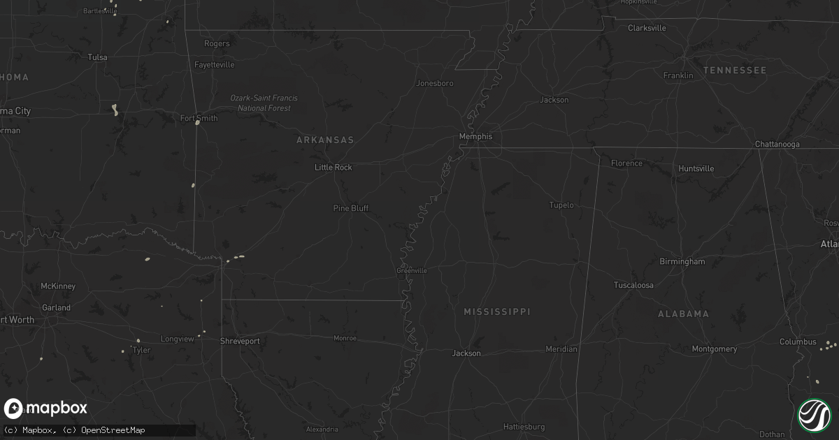
September 1 map
$229
one time, instant access
Download today. No call, no setup
Keep the $229
Bought the map and want the full workflow? Apply the entire $229 to a subscription within 7 days. None of it is wasted.
Every map, not just this one
This buys you this map. Subscription and you get every map we run, in the markets you choose from a few cities to whole states to nationwide. Plus real-time alerts the moment a storm fires.
Contact data
Name, contact info, occupancy, even credit band for addresses in the footprint. You go from where it hit to who to call.
Become the source they trust
Unlimited branding weather history reports on demand. You already have the documented answer ready for the property owner, and you are the one who showed up with it.
Property data and RoofTrace estimates
Pull up any address you have got, its value and the exact code rules for that jurisdiction, straight from One Click Code. Then RoofTrace estimates the squares, pitch, and roof value, priced the way you price.
Storm reports in Georgia
Georgia
| Date | Description |
|---|---|
| 09/01/20224:45 PM CDT | Trees down near trumpington ln and w alberson dr. |
| 09/01/20224:40 PM CDT | Wires down near old dawson rd and n doublegate dr. |
| 09/01/20224:35 PM CDT | Tree limbs were blown into the roadway at ga-520 and wingate lane... Temporarily closing all travel lanes. |
| 09/01/20224:03 PM CDT | A tree down from an outflow boundary that went through the area. Time estimated based on radar. |
| 09/01/20223:39 PM CDT | Two trees down from an outflow boundary that went through the area. Time estimated based on radar. |
| 09/01/202212:30 AM CDT | At 530 PM EDT, a severe thunderstorm was located near Albany, moving south at 30 mph. HAZARD...60 mph wind gusts. SOURCE...Radar indicated. IMPACT...Expect damage to roofs, siding, and trees. Locations impacted include... Putney, Albany, East Albany, Marine Corps Logistics Base, Turner City, Walker, Stocks, Radium Springs, Forrester, Lockett Crossing, South Albany, Southwest Ga Regional A/P, Palmyra, Century, Pecan City, Herod, Ducker, Armena, Williamsburg and Chickasawhatchee. |
| 08/31/202211:42 PM CDT | At 441 PM EDT, a severe thunderstorm was located near Lake Park, moving northeast at 20 mph. HAZARD...60 mph wind gusts. SOURCE...Radar indicated. IMPACT...Expect damage to roofs, siding, and trees. Locations impacted include... Lake Park. |
| 08/31/202211:41 PM CDT | At 441 PM EDT, a severe thunderstorm was located near Yulee, or 8 miles southwest of St. Marys, moving northwest at 10 mph. HAZARD...60 mph wind gusts and penny size hail. SOURCE...Radar indicated. IMPACT...Expect damage to roofs, siding, and trees. Locations impacted include... St. Marys and Yulee. |
| 08/31/202210:29 PM CDT | At 329 PM EDT, a severe thunderstorm was located near Gough, or 8 miles east of Louisville, moving northwest at 10 mph. HAZARD...60 mph wind gusts and quarter size hail. SOURCE...Radar indicated. IMPACT...Hail damage to vehicles is expected. Expect wind damage to trees and powerlines. Locations impacted include... Waynesboro, Midville, Alexander, Gough, Burke County Airport, Blythe, Keysville, Vidette, Di- Lane Wildlife Management Area, Magruder and Rosier. |
| 08/31/20229:40 PM CDT | At 239 PM EDT, a severe thunderstorm was located over Oconee, or 10 miles southwest of Sandersville, and is nearly stationary. HAZARD...60 mph wind gusts and penny size hail. SOURCE...Radar indicated. IMPACT...Expect damage to roofs, siding, and trees. Locations impacted include... Tennille, Oconee and Hebron. |
All States Impacted by Hail Map on September 1, 2022
Cities Impacted by Hail Map on September 1, 2022
- Walterboro, SC
- Green Pond, SC
- Pittsburg, TX
- Ruffin, SC
- Jacksonville, GA
- Milan, GA
- Great Bend, KS
- Waynesboro, GA
- Higgins, TX
- Round O, SC
- Cordele, GA
- Leedey, OK
- Mooreland, OK
- Italy, TX
- Forreston, TX
- Estill, SC
- Leesburg, GA
- Lumpkin, GA
- Richland, GA
- Ideal, GA
- Oglethorpe, GA
- Spearville, KS
- Laverne, OK
- Canadian, TX
- Ensign, KS
- Dodge City, KS
- Louisville, GA
- Bogata, TX
- Deport, TX
- Fort Valley, GA
- Roberta, GA
- Fitzgerald, GA
- Rhine, GA
- Hammon, OK
- Tyler, TX
- Rupert, GA
- Saint Charles, IA
- Guyton, GA
- Vienna, GA
- Byromville, GA
- Lyons, GA
- Texhoma, OK
- Girard, GA
- Milledgeville, GA
- Follett, TX
- Texarkana, AR
- Bonaire, GA
- Kathleen, GA
- Perry, GA
- Delaware, OK
- Oakfield, GA
- Fairview, OK
- Pembroke, GA
- Buena Vista, GA
- Swainsboro, GA
- Nowata, OK
- Crescent City, FL
- Pomona Park, FL
- Arnett, OK
- Clinton, OK
- Mauk, GA
- Marshall, TX
- Brooklet, GA
- Wadmalaw Island, SC
- St John, KS
- Jacksonboro, SC
- Waynoka, OK
- Edna, KS
- Coffeyville, KS
- Wadley, GA
- Clarksville, TX
- S Coffeyville, OK
- Shattuck, OK
- Sparta, GA
- Gray, GA
- Brownsboro, TX
- Prole, IA
- Winterset, IA
- Hanston, KS
- Dacoma, OK
- Ocala, FL
- Smithville, OK
- Varnville, SC
- Early Branch, SC
- Johns Island, SC
- Council Hill, OK
- Eufaula, OK
- Checotah, OK
- Bunker Hill, KS
- Wright, KS
- Afton, OK
- Plantersville, TX
- Reynolds, GA
- Hollywood, SC
- Sardis, GA
- Bartlesville, OK
- Smoaks, SC
- Ailey, GA
- Mount Vernon, GA
- Green Cove Springs, FL
- Rochelle, GA
- Pineview, GA
- Dunnellon, FL
- Tennille, GA
- Sandersville, GA
- Collins, GA
- Millen, GA
- Foss, OK
- Dill City, OK
- Bartow, GA
- Ravenel, SC
- Yemassee, SC
- Hope, AR
- Orlando, FL
- Moore Haven, FL
- Montgomery, TX
- Albany, GA
- Lenapah, OK
- Montezuma, GA
- Conroe, TX
- Wann, OK
- Claflin, KS
- Hoisington, KS
- Sylvania, GA
- Arkoma, OK
- Fort Smith, AR
- Pocola, OK
- Linden, TX
- Welch, OK
- Ambrose, GA


