Hail Map in Kansas on September 1, 2022
Get this storm
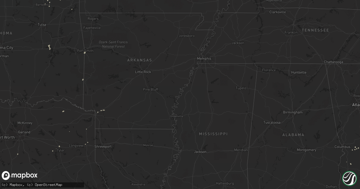
September 1 map
$229
one time, instant access
Download today. No call, no setup
Keep the $229
Bought the map and want the full workflow? Apply the entire $229 to a subscription within 7 days. None of it is wasted.
Every map, not just this one
This buys you this map. Subscription and you get every map we run, in the markets you choose from a few cities to whole states to nationwide. Plus real-time alerts the moment a storm fires.
Contact data
Name, contact info, occupancy, even credit band for addresses in the footprint. You go from where it hit to who to call.
Become the source they trust
Unlimited branding weather history reports on demand. You already have the documented answer ready for the property owner, and you are the one who showed up with it.
Property data and RoofTrace estimates
Pull up any address you have got, its value and the exact code rules for that jurisdiction, straight from One Click Code. Then RoofTrace estimates the squares, pitch, and roof value, priced the way you price.
Storm reports in Kansas
Kansas
| Date | Description |
|---|---|
| 09/01/20223:16 PM CDT | Tree reported blown down by thunderstorm wind. |
| 09/01/20223:04 PM CDT | Numerous tree limbs downed. Pea size hail too. |
| 09/01/20223:34 AM CDT | At 834 PM CDT, a severe thunderstorm was located 8 miles southeast of Ensign, moving southwest at 25 mph. HAZARD...60 mph wind gusts and penny size hail. SOURCE...Radar indicated. IMPACT...Expect damage to roofs, siding, and trees. Locations impacted include... Fowler and Meade. |
| 09/01/20222:44 AM CDT | At 743 PM CDT, a severe thunderstorm was located near Dodge City, moving southwest at 20 mph. HAZARD...60 mph wind gusts and penny size hail. SOURCE...Radar indicated. IMPACT...Expect damage to roofs, siding, and trees. This severe thunderstorm will remain over mainly rural areas of southwestern Ford County. |
| 09/01/20222:32 AM CDT | At 732 PM CDT, a severe thunderstorm was located over Great Bend, moving south at 10 mph. HAZARD...60 mph wind gusts and quarter size hail. SOURCE...Radar indicated. IMPACT...Hail damage to vehicles is expected. Expect wind damage to roofs, siding, and trees. Locations impacted include... Great Bend and Great Bend Airport. |
| 08/31/202210:06 PM CDT | At 306 PM CDT, a severe thunderstorm was located near Edna, or 10 miles east of Coffeyville, moving north at 15 mph. HAZARD...60 mph wind gusts and nickel size hail. SOURCE...Radar indicated. IMPACT...Expect damage to roofs, siding, and trees. Locations impacted include... Coffeyville, Altamont, Edna, Dearing, Mound Valley, Liberty, Angola, Coffeyville Airport and Big Hill Lake. |
| 08/31/20227:45 PM CDT | A couple of large 12 inch diameter tree branches broke. |
| 08/31/20227:44 PM CDT | Power lines down. |
| 08/31/20227:40 PM CDT | Report of a roof being blown off a building. |
| 08/31/20227:35 PM CDT | Ksn tv reports... Rv campers were rolled over by damaging winds. Delayed report. |
| 08/31/20227:35 PM CDT | Several large tree limbs down in town. |
All States Impacted by Hail Map on September 1, 2022
Cities Impacted by Hail Map on September 1, 2022
- Walterboro, SC
- Green Pond, SC
- Pittsburg, TX
- Ruffin, SC
- Jacksonville, GA
- Milan, GA
- Great Bend, KS
- Waynesboro, GA
- Higgins, TX
- Round O, SC
- Cordele, GA
- Leedey, OK
- Mooreland, OK
- Italy, TX
- Forreston, TX
- Estill, SC
- Leesburg, GA
- Lumpkin, GA
- Richland, GA
- Ideal, GA
- Oglethorpe, GA
- Spearville, KS
- Laverne, OK
- Canadian, TX
- Ensign, KS
- Dodge City, KS
- Louisville, GA
- Bogata, TX
- Deport, TX
- Fort Valley, GA
- Roberta, GA
- Fitzgerald, GA
- Rhine, GA
- Hammon, OK
- Tyler, TX
- Rupert, GA
- Saint Charles, IA
- Guyton, GA
- Vienna, GA
- Byromville, GA
- Lyons, GA
- Texhoma, OK
- Girard, GA
- Milledgeville, GA
- Follett, TX
- Texarkana, AR
- Bonaire, GA
- Kathleen, GA
- Perry, GA
- Delaware, OK
- Oakfield, GA
- Fairview, OK
- Pembroke, GA
- Buena Vista, GA
- Swainsboro, GA
- Nowata, OK
- Crescent City, FL
- Pomona Park, FL
- Arnett, OK
- Clinton, OK
- Mauk, GA
- Marshall, TX
- Brooklet, GA
- Wadmalaw Island, SC
- St John, KS
- Jacksonboro, SC
- Waynoka, OK
- Edna, KS
- Coffeyville, KS
- Wadley, GA
- Clarksville, TX
- S Coffeyville, OK
- Shattuck, OK
- Sparta, GA
- Gray, GA
- Brownsboro, TX
- Prole, IA
- Winterset, IA
- Hanston, KS
- Dacoma, OK
- Ocala, FL
- Smithville, OK
- Varnville, SC
- Early Branch, SC
- Johns Island, SC
- Council Hill, OK
- Eufaula, OK
- Checotah, OK
- Bunker Hill, KS
- Wright, KS
- Afton, OK
- Plantersville, TX
- Reynolds, GA
- Hollywood, SC
- Sardis, GA
- Bartlesville, OK
- Smoaks, SC
- Ailey, GA
- Mount Vernon, GA
- Green Cove Springs, FL
- Rochelle, GA
- Pineview, GA
- Dunnellon, FL
- Tennille, GA
- Sandersville, GA
- Collins, GA
- Millen, GA
- Foss, OK
- Dill City, OK
- Bartow, GA
- Ravenel, SC
- Yemassee, SC
- Hope, AR
- Orlando, FL
- Moore Haven, FL
- Montgomery, TX
- Albany, GA
- Lenapah, OK
- Montezuma, GA
- Conroe, TX
- Wann, OK
- Claflin, KS
- Hoisington, KS
- Sylvania, GA
- Arkoma, OK
- Fort Smith, AR
- Pocola, OK
- Linden, TX
- Welch, OK
- Ambrose, GA


