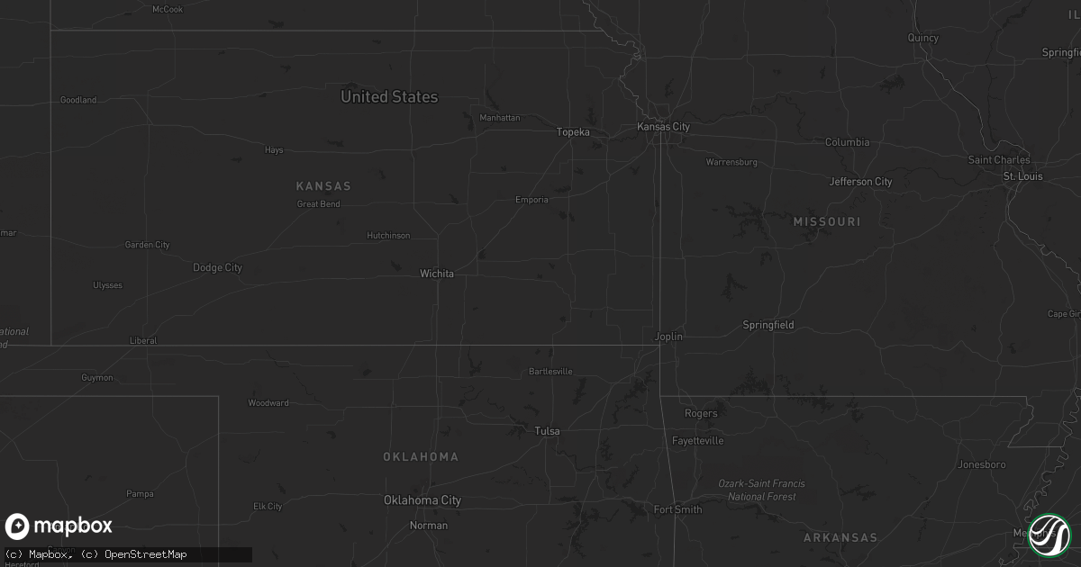
Hail Map in Montana on August 29, 2023
Get this storm
August 29 map
$229
one time, instant access
Download today. No call, no setup
Keep the $229
Bought the map and want the full workflow? Apply the entire $229 to a subscription within 7 days. None of it is wasted.
Every map, not just this one
This buys you this map. Subscription and you get every map we run, in the markets you choose from a few cities to whole states to nationwide. Plus real-time alerts the moment a storm fires.
Contact data
Name, contact info, occupancy, even credit band for addresses in the footprint. You go from where it hit to who to call.
Become the source they trust
Unlimited branding weather history reports on demand. You already have the documented answer ready for the property owner, and you are the one who showed up with it.
Property data and RoofTrace estimates
Pull up any address you have got, its value and the exact code rules for that jurisdiction, straight from One Click Code. Then RoofTrace estimates the squares, pitch, and roof value, priced the way you price.
Storm reports in Montana
Montana
| Date | Description |
|---|---|
| 08/29/20236:54 PM CDT | Tree down at cowcatcher driver and us-12. |
| 08/29/20236:47 PM CDT | Corrects previous non-tstm wnd gst report from 10 wsw grant. Mesonet station brrm8 brenner raws. |
| 08/29/20236:45 PM CDT | Photo of a power pole leaning over garcon gulch road. Time estimated by radar. |
| 08/29/20236:00 PM CDT | Large tree covered the road on us-12. |
| 08/29/20232:04 AM CDT | Measured via ambient weather site. |
| 08/29/20231:26 AM CDT | Asos station khvr havre airport. |
| 08/28/202310:08 PM CDT | Asos station kbzn bozeman yellowstone airport. |
| 08/28/20239:59 PM CDT | Measured via ambient weather site. |
| 08/28/20239:58 PM CDT | Second severe gust. Asos station kbzn bozeman yellowstone airport. |
| 08/28/20239:55 PM CDT | Measured via ambient weather. |
| 08/28/20239:55 PM CDT | Two sensors along triple tree road... Locate |
| 08/28/20239:55 PM CDT | Two sensors along triple tree road... Located about 1/4 mile apart from each other... Recorded gusts of 65 mph. Via ambient weather. |
| 08/28/20239:55 PM CDT | Two sensors along triple tree road... Located about 1/4 mile apart from each other... Recorded gusts |
| 08/28/20239:52 PM CDT | Asos station kbzn bozeman yellowstone airport. |
| 08/28/20239:47 PM CDT | Measured via ambient weather. |
| 08/28/20239:30 PM CDT | Tree down across road and through power lines at middle and austin. Power outage reported until midnight. |
| 08/28/20239:00 PM CDT | Tree on the elk creek road. |
| 08/28/20238:58 PM CDT | Measured via ambient weather site. |
| 08/28/20238:49 PM CDT | Peak hourly gust as measured by station rrdm8 red rock raws. Time of occurrence based on radar. |
| 08/28/20238:36 PM CDT | Corrected time. Peak hourly gust as measured by station rrdm8 red rock raws. Time of occurrence based on radar. |
| 08/28/20238:22 PM CDT | Corrects previous non-tstm wnd gst report from 2 nw pendroy. Mesonet station mtpnd pendroy (mt |
| 08/28/20238:22 PM CDT | Corrects previous non-tstm wnd gst report from 2 nw pendroy. Mesonet station mtpnd pendroy |
| 08/28/20238:15 PM CDT | Corrects previous non-tstm wnd gst report from 5 ese pendroy. Mesonet station ricmt rice ridge. |
| 08/28/20238:15 PM CDT | A local report indicates 67 MPH wind near 4 SSE Bynum |
| 08/28/20238:00 PM CDT | Tree down near mile-marker 28 on highway 83. Time is approximate... Based on radar and seeley lake report. |
| 08/28/20237:59 PM CDT | Awos station k1hm 6 nne fairfield. |
| 08/28/20237:45 PM CDT | Large fir tree 18 inches in diameter... 60 feet tall fell down. |
| 08/28/20237:45 PM CDT | Tree down on morrell creek road. Time is estimated based off radar and nearby spotter report. |
| 08/28/20237:45 PM CDT | Delayed report of thunderstorm wind gusts from 8/29. Wind gusts also moved heavy furniture across the yard. |
| 08/28/20237:37 PM CDT | Awos station k1fm foxtrot. |
| 08/28/20237:34 PM CDT | Sustained 58mph with a peak gust of 66 mph... Via ambient weather. |
| 08/28/20237:25 PM CDT | Trees were reported down in the middle of interstate 90. |
| 08/28/20237:05 PM CDT | Tree down at locust street in the rattlesnake area. |
| 08/28/20237:02 PM CDT | Tree down at brooks and crosby. |
| 08/28/20237:02 PM CDT | Tree down at gleason and grove. |
| 08/28/20237:02 PM CDT | Tree on a house at shilling street. |
| 08/28/20237:00 PM CDT | Reported a tree on their house. Location is approximate in the target range area. |
All States Impacted by Hail Map on August 29, 2023
Cities Impacted by Hail Map on August 29, 2023
- Challis, ID
- Elk City, ID
- Tennille, GA
- Senoia, GA
- Luthersville, GA
- Sandersville, GA
- Gay, GA
- Moreland, GA
- Mcdonough, GA
- Dublin, GA
- Alberton, MT
- Superior, MT
- Augusta, MT
- Fairfield, MT
- Choteau, MT
- Fort Shaw, MT
- Simms, MT
- Cascade, MT
- Bynum, MT
- Moore, ID
- Howe, ID
- Dubois, ID
- Monteview, ID
- Terreton, ID
- Lima, MT
- Cameron, MT
- Bozeman, MT
- Belgrade, MT
- Gallatin Gateway, MT
- Arlee, MT
- Fort Mill, SC
- Longboat Key, FL
- Bradenton, FL
- Sarasota, FL
- Avon Park, FL
- Brooksville, FL
- Wauchula, FL
- Zolfo Springs, FL
- Orlando, FL
- Christmas, FL
- Cedar Key, FL
- Chiefland, FL
- Old Town, FL
- Horseshoe Beach, FL
- Eastpoint, FL
- Apalachicola, FL
- Steinhatchee, FL
- Cross City, FL
- Panacea, FL
- Lamont, FL
- Perry, FL
- Carrabelle, FL
- Lanark Village, FL
- Sopchoppy, FL
- Crawfordville, FL
- Salem, FL
- Linden, PA
- Jersey Shore, PA
- Cogan Station, PA
- Williamsport, PA
- Montoursville, PA
- Trout Run, PA
- Hosford, FL
- Tallahassee, FL
- Saint Marks, FL
- Inglis, FL
- Bronson, FL
- Otter Creek, FL
- Archer, FL
- Branford, FL
- Bell, FL
- Newberry, FL
- Trenton, FL
- O'Brien, FL
- Day, FL
- Greenville, FL
- Mayo, FL
- Live Oak, FL
- Monticello, FL
- McAlpin, FL
- Madison, FL
- High Springs, FL
- Hortense, GA
- Lloyd, FL
- Lee, FL
- Wellborn, FL
- Lake City, FL
- Fort White, FL
- Yankeetown, FL
- Homosassa, FL
- Crystal River, FL
- Dunnellon, FL
- Morriston, FL
- Lecanto, FL
- Beverly Hills, FL
- Williston, FL
- Jasper, FL
- Valdosta, GA
- Quitman, GA
- Pinetta, FL
- Jennings, FL
- Lake Park, GA
- White Springs, FL
- Boston, GA
- Dixie, GA
- Adel, GA
- Morven, GA
- Hahira, GA
- Barney, GA
- Moultrie, GA
- Pavo, GA
- Thomasville, GA
- Barwick, GA
- Statenville, GA
- Fargo, GA
- Du Pont, GA
- Homerville, GA
- Nashville, GA
- Willacoochee, GA
- Ray City, GA
- Naylor, GA
- Moody Afb, GA
- Lakeland, GA
- Stockton, GA
- Pearson, GA
- Waycross, GA
- Manor, GA
- Argyle, GA
- Millwood, GA
- Nicholls, GA
- Axson, GA
- Douglas, GA
- Ambrose, GA
- Alapaha, GA
- Lenox, GA
- Sparks, GA
- Berlin, GA
- Hazlehurst, GA
- Alma, GA
- Baxley, GA
- Denton, GA
- West Green, GA
- Broxton, GA
- Wray, GA
- Ocilla, GA
- Mershon, GA
- Blackshear, GA
- Odum, GA
- Surrency, GA
- Screven, GA
- Bristol, GA
- Jesup, GA
- Waverly, GA
- Folkston, GA
- White Oak, GA
- Nahunta, GA
- Hoboken, GA
- Waynesville, GA
- Brunswick, GA
- Townsend, GA
- Darien, GA
- Patterson, GA
- Ludowici, GA
- Saint Simons Island, GA
- Jekyll Island, GA
- Sea Island, GA
- Riceboro, GA
- Glennville, GA
- Hinesville, GA
- Allenhurst, GA
- Sanderson, FL
- Saint George, GA
- Hilliard, FL
- Bryceville, FL
- Callahan, FL
- Jacksonville, FL
- Yulee, FL
- Fernandina Beach, FL
- Saint Marys, GA
- Kingsland, GA
- Woodbine, GA
- Kings Bay, GA
- Neptune Beach, FL
- Atlantic Beach, FL
- Sapelo Island, GA
- Reidsville, GA
- Claxton, GA
- Collins, GA
- Lyons, GA
- Uvalda, GA
- Fort Stewart, GA
- Pembroke, GA
- Midway, GA
- Fleming, GA
- Richmond Hill, GA


