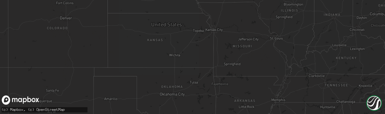
Hail Map in Idaho on August 29, 2023
The weather event in Idaho on August 29, 2023 includes Wind, Hail, and Tornado maps. 7 states and 195 cities were impacted and suffered possible damage. The total estimated number of properties impacted is 0.
Want more than just the map?
Turn this storm into a full workflow.
- Owner + property data so you know who to knock
- OnDemand branded weather history reports to win the "did we even have hail?" argument
- RoofTrace estimate so reps stop guessing numbers at the door
Bought this map? Upgrade within 7 days and we'll credit the $230. (10-15 min setup call)
Wind
Hail
Tornado
0
Estimated number of impacted properties by a 1.00" hail or larger0
Estimated number of impacted properties by a 1.75" hail or larger0
Estimated number of impacted properties by a 2.50" hail or largerStorm reports in Idaho
Idaho
| Date | Description |
|---|---|
| 08/29/20236:49 PM CDT | Private weather station recorded a peak thunderstorm wind gust of 58.2 mph just off of id-75. |
| 08/29/20235:40 PM CDT | Mesonet station lpfi1 lodgepole. |
| 08/29/20235:06 PM CDT | Asos station kllj challis airport. |
| 08/29/20235:05 PM CDT | Asos station kllj challis airport. |
| 08/29/20234:55 PM CDT | A local report indicates 61 MPH wind near Challis |
| 08/28/20239:17 PM CDT | Rocky mountain power reports thunderstorm winds knocked out power to an estimated 150 customers. |
| 08/28/20239:05 PM CDT | East idaho news and rocky mountain power report an estimated 8700 customers without power in the area due to thunderstorm winds. |
| 08/28/20239:00 PM CDT | Very strong winds reported with numerous tree limbs down on country rd. |
| 08/28/20238:46 PM CDT | Rocky mountain power reports thunderstorm winds knocked out power to an estimated 40 customers. |
| 08/28/20238:45 PM CDT | Mesonet station osgi 2 ne osgood. |
| 08/28/20238:45 PM CDT | Mesonet station rob 1 n roberts. |
| 08/28/20238:45 PM CDT | Idaho power reports an estimated 150 customers without power across moreland and riverside due to thunderstorm winds. |
| 08/28/20238:44 PM CDT | Rocky mountain power reports an estimated 1900 customers without power in the lewisville area due to thunderstorm winds. |
| 08/28/20238:44 PM CDT | Rocky mountain power reports trees down on power lines resulting in an estimated 900 customers without power near grant. |
| 08/28/20238:41 PM CDT | Rocky mountain power reports an estimated 700 customers without power in the roberts area due to thunderstorm winds. |
| 08/28/20238:39 PM CDT | Idaho power reports an estimated 200 customers without power from the western side of blackfoot south to w 300 s due to thunderstorm winds. |
| 08/28/20238:39 PM CDT | Multiple reports and photos of trees down and tree damage in menan via social media. Two trees at least 1 foot in diameter each snapped off at the base. Time estimated |
| 08/28/20238:35 PM CDT | Photo from social media of a large cottonwood tree blown over. Numerous tree branches down in area... Too. |
| 08/28/20238:30 PM CDT | Multiple trees down along and off of old highway 91/bassett rd. Reported by the public via the east idaho news facebook page. Time estimated based on radar. |
| 08/28/20238:30 PM CDT | Idaho power reports an estimated 500 customers without power across wapello... Blackfoot... And gibson due to thunderstorm winds. |
| 08/28/20238:30 PM CDT | 2 pine trees and part of a willow tree down on colonial loop just off of us-26. Reported by the public via the east idaho news facebook page. Time estimated based on ra |
| 08/28/20238:30 PM CDT | Mesonet station ket kettle butte. |
| 08/28/20238:30 PM CDT | Kettle butte arl. |
| 08/28/20238:27 PM CDT | Updated. Rocky mountain power reports thunderstorm winds knocked out power to an estimated 1300 customers. |
| 08/28/20238:25 PM CDT | Idaho power reports an estimated 3800 customers without power in the area due to thunderstorm winds. |
| 08/28/20238:24 PM CDT | Private weather station riverside - kidblack9. |
| 08/28/20238:20 PM CDT | Terreton arl. |
| 08/28/20238:10 PM CDT | Mesonet station rov 9 ssw mud lake. |
| 08/28/20238:10 PM CDT | Mesonet station dea dead man canyon. |
| 08/28/20237:50 PM CDT | Medicine lodge pacifi corp. |
| 08/28/20237:40 PM CDT | Updated. Monteview arl. |
| 08/28/20237:40 PM CDT | Monteview arl. |
| 08/28/20237:40 PM CDT | Reno gulch pacifi corp. |
| 08/28/20237:05 PM CDT | Base of howe peak. |
All States Impacted by Hail Map on August 29, 2023
Cities Impacted by Hail Map on August 29, 2023
- Challis, ID
- Elk City, ID
- Tennille, GA
- Senoia, GA
- Luthersville, GA
- Sandersville, GA
- Gay, GA
- Moreland, GA
- Mcdonough, GA
- Dublin, GA
- Alberton, MT
- Superior, MT
- Augusta, MT
- Fairfield, MT
- Choteau, MT
- Fort Shaw, MT
- Simms, MT
- Cascade, MT
- Bynum, MT
- Moore, ID
- Howe, ID
- Dubois, ID
- Monteview, ID
- Terreton, ID
- Lima, MT
- Cameron, MT
- Bozeman, MT
- Belgrade, MT
- Gallatin Gateway, MT
- Arlee, MT
- Fort Mill, SC
- Longboat Key, FL
- Bradenton, FL
- Sarasota, FL
- Avon Park, FL
- Brooksville, FL
- Wauchula, FL
- Zolfo Springs, FL
- Orlando, FL
- Christmas, FL
- Cedar Key, FL
- Chiefland, FL
- Old Town, FL
- Horseshoe Beach, FL
- Eastpoint, FL
- Apalachicola, FL
- Steinhatchee, FL
- Cross City, FL
- Panacea, FL
- Lamont, FL
- Perry, FL
- Carrabelle, FL
- Lanark Village, FL
- Sopchoppy, FL
- Crawfordville, FL
- Salem, FL
- Linden, PA
- Jersey Shore, PA
- Cogan Station, PA
- Williamsport, PA
- Montoursville, PA
- Trout Run, PA
- Hosford, FL
- Tallahassee, FL
- Saint Marks, FL
- Inglis, FL
- Bronson, FL
- Otter Creek, FL
- Archer, FL
- Branford, FL
- Bell, FL
- Newberry, FL
- Trenton, FL
- O'Brien, FL
- Day, FL
- Greenville, FL
- Mayo, FL
- Live Oak, FL
- Monticello, FL
- McAlpin, FL
- Madison, FL
- High Springs, FL
- Hortense, GA
- Lloyd, FL
- Lee, FL
- Wellborn, FL
- Lake City, FL
- Fort White, FL
- Yankeetown, FL
- Homosassa, FL
- Crystal River, FL
- Dunnellon, FL
- Morriston, FL
- Lecanto, FL
- Beverly Hills, FL
- Williston, FL
- Jasper, FL
- Valdosta, GA
- Quitman, GA
- Pinetta, FL
- Jennings, FL
- Lake Park, GA
- White Springs, FL
- Boston, GA
- Dixie, GA
- Adel, GA
- Morven, GA
- Hahira, GA
- Barney, GA
- Moultrie, GA
- Pavo, GA
- Thomasville, GA
- Barwick, GA
- Statenville, GA
- Fargo, GA
- Du Pont, GA
- Homerville, GA
- Nashville, GA
- Willacoochee, GA
- Ray City, GA
- Naylor, GA
- Moody Afb, GA
- Lakeland, GA
- Stockton, GA
- Pearson, GA
- Waycross, GA
- Manor, GA
- Argyle, GA
- Millwood, GA
- Nicholls, GA
- Axson, GA
- Douglas, GA
- Ambrose, GA
- Alapaha, GA
- Lenox, GA
- Sparks, GA
- Berlin, GA
- Hazlehurst, GA
- Alma, GA
- Baxley, GA
- Denton, GA
- West Green, GA
- Broxton, GA
- Wray, GA
- Ocilla, GA
- Mershon, GA
- Blackshear, GA
- Odum, GA
- Surrency, GA
- Screven, GA
- Bristol, GA
- Jesup, GA
- Waverly, GA
- Folkston, GA
- White Oak, GA
- Nahunta, GA
- Hoboken, GA
- Waynesville, GA
- Brunswick, GA
- Townsend, GA
- Darien, GA
- Patterson, GA
- Ludowici, GA
- Saint Simons Island, GA
- Jekyll Island, GA
- Sea Island, GA
- Riceboro, GA
- Glennville, GA
- Hinesville, GA
- Allenhurst, GA
- Sanderson, FL
- Saint George, GA
- Hilliard, FL
- Bryceville, FL
- Callahan, FL
- Jacksonville, FL
- Yulee, FL
- Fernandina Beach, FL
- Saint Marys, GA
- Kingsland, GA
- Woodbine, GA
- Kings Bay, GA
- Neptune Beach, FL
- Atlantic Beach, FL
- Sapelo Island, GA
- Reidsville, GA
- Claxton, GA
- Collins, GA
- Lyons, GA
- Uvalda, GA
- Fort Stewart, GA
- Pembroke, GA
- Midway, GA
- Fleming, GA
- Richmond Hill, GA


