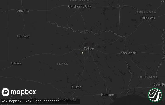
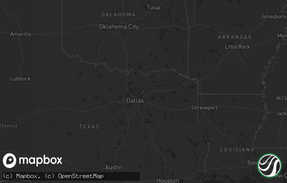
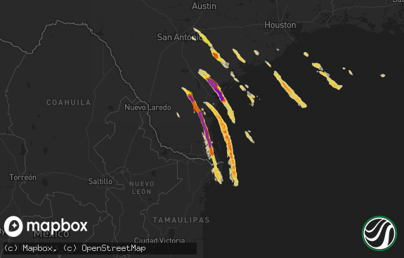
Hail Map in Texas on August 22, 2022
The weather event in Texas on August 22, 2022 includes Hail and Tornado maps. 12 states and 65 cities were impacted and suffered possible damage. The total estimated number of properties impacted is 0.

Hail
Tornado
0
Estimated number of impacted properties by a 1.00" hail or larger0
Estimated number of impacted properties by a 1.75" hail or larger0
Estimated number of impacted properties by a 2.50" hail or largerStorm reports in Texas
Texas
| Date | Description |
|---|---|
| 08/22/20224:56 PM CDT | Measured wind gust at del rio international airport. |
| 08/22/202210:25 AM CDT | Corrects previous tstm wnd dmg report from winona. Trees reported down and structural damage to one building in the hussy circle area; update to confirmed tornado. |
| 08/22/202210:25 AM CDT | Trees reported down and structural damage to one building in the hussy circle area; possible tornado. |
| 08/21/202210:26 PM CDT | An ef-1 tornado with an estimated 95 mph winds touched down nearby winona independent school district... Tossing a metal outbuilding across cr-345 and uprooting trees. |
| 08/21/20228:48 PM CDT | At 147 PM CDT, a severe thunderstorm was located over Burr Ferry, or 8 miles southeast of Toledo Bend Dam, moving northeast at 50 mph. HAZARD...60 mph wind gusts. SOURCE...Radar indicated. IMPACT...Expect damage to roofs, siding, and trees. Locations impacted include... Leesville, Anacoco, Slagle, Fort Polk, New Llano, Hornbeck, Kurthwood, Burr Ferry and Evans. |
All States Impacted by Hail Map on August 22, 2022
Cities Impacted by Hail Map on August 22, 2022
- Annandale, NJ
- Lebanon, NJ
- Selfridge, ND
- Peridot, AZ
- Benson, AZ
- Coplay, PA
- Allentown, PA
- Whitehall, PA
- Ketchum, ID
- Saint George, UT
- Washington, UT
- Columbia, VA
- Palmyra, VA
- Kents Store, VA
- Catasauqua, PA
- Northampton, PA
- Milford, NJ
- Bloomsbury, NJ
- Bath, PA
- Hellertown, PA
- Phillipsburg, NJ
- Orefield, PA
- Easton, PA
- Stewartsville, NJ
- Bethlehem, PA
- Schnecksville, PA
- Asbury, NJ
- Nazareth, PA
- Naples, FL
- Winchester, VA
- Immokalee, FL
- Germansville, PA
- Culpeper, VA
- Rapidan, VA
- Brightwood, VA
- Kingsville, MD
- Upper Falls, MD
- Joppa, MD
- Augusta, MT
- Hilton Head Island, SC
- Fork, MD
- Baldwin, MD
- Glen Arm, MD
- Edgewood, MD
- Hydes, MD
- Fallston, MD
- Woodbine, MD
- Mount Airy, MD
- Snowville, UT
- Bluffton, SC
- Scotch Plains, NJ
- Plainfield, NJ
- Clark, NJ
- Comstock, TX
- Clear Brook, VA
- Mason, TX
- Heart Butte, MT
- Gordonsville, VA
- Louisa, VA
- Flemington, NJ
- Frenchtown, NJ
- Pittstown, NJ
- Troy, VA
- Hampton, NJ
- Winona, TX


