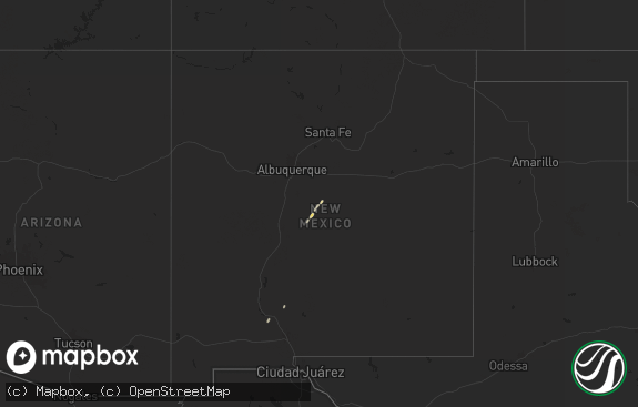
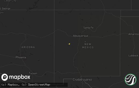
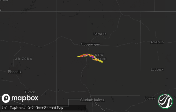
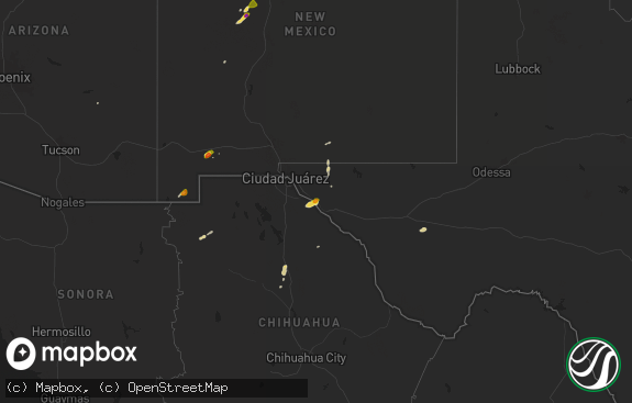
Hail Map in New Mexico on August 19, 2018
The weather event in New Mexico on August 19, 2018 includes Hail map. 13 states and 130 cities were impacted and suffered possible damage. The total estimated number of properties impacted is 482.

Hail
482
Estimated number of impacted properties by a 1.00" hail or larger323
Estimated number of impacted properties by a 1.75" hail or larger178
Estimated number of impacted properties by a 2.50" hail or largerStorm reports in New Mexico
New Mexico
| Date | Description |
|---|---|
| 08/19/20184:40 PM CDT | Large hail and high winds produced property damage around miami |
| 08/19/20184:40 PM CDT | Large hail and high winds produced property damage around miami |
| 08/19/20181:30 AM CDT | At 630 PM MDT, a severe thunderstorm was located near Puerto De Luna, or 8 miles east of Santa Rosa, moving south at 25 mph. HAZARD...Golf ball size hail and 60 mph wind gusts. SOURCE...Radar indicated. IMPACT...People and animals outdoors will be injured. Expect hail damage to roofs, siding, windows, and vehicles. Expect wind damage to roofs, siding, and trees. Locations impacted include... Puerto De Luna, Sumner Lake State Park and Sumner Lake. |
| 08/19/20181:28 AM CDT | At 628 PM MDT, a severe thunderstorm was located 9 miles south of Trujillo, or 29 miles southeast of Las Vegas, moving south at 20 mph. HAZARD...60 mph wind gusts and half dollar size hail. SOURCE...Radar indicated. IMPACT...Hail damage to vehicles is expected. Expect wind damage to roofs, siding, and trees. Locations impacted include... Colonias. |
| 08/19/201812:47 AM CDT | At 547 PM MDT, a severe thunderstorm was located 13 miles southwest of Variadero, or 19 miles north of Santa Rosa, moving south at 20 mph. HAZARD...Ping pong ball size hail and 60 mph wind gusts. SOURCE...Radar indicated. IMPACT...People and animals outdoors will be injured. Expect hail damage to roofs, siding, windows, and vehicles. Expect wind damage to roofs, siding, and trees. Locations impacted include... Santa Rosa, Santa Rosa Lake State Park and Cuervo. This includes Interstate 40 between Mile Markers 269 and 297. |
| 08/19/201812:39 AM CDT | At 538 PM MDT, a severe thunderstorm was located 9 miles southeast of Valmora, or 21 miles south of Wagon Mound, moving south at 20 mph. HAZARD...60 mph wind gusts and half dollar size hail. SOURCE...Radar indicated. IMPACT...Hail damage to vehicles is expected. Expect wind damage to roofs, siding, and trees. Locations impacted include... Trujillo. |
| 08/18/201811:58 PM CDT | At 458 PM MDT, a severe thunderstorm was located near Trujillo, or 34 miles east of Las Vegas, moving south at 20 mph. This is a very dangerous storm. HAZARD...80 mph wind gusts and tennis ball size hail. SOURCE...Radar indicated. IMPACT...Flying debris will be dangerous to those caught without shelter. Mobile homes will be heavily damaged. Expect considerable damage to roofs, windows, and vehicles. Extensive tree damage and power outages are likely. Locations impacted include... Variadero, Trujillo and Trementina. |
| 08/18/201811:03 PM CDT | At 403 PM MDT, a severe thunderstorm was located 8 miles north of Maes, or 14 miles southeast of Wagon Mound, moving south at 20 mph. HAZARD...Golf ball size hail and 70 mph wind gusts. SOURCE...Radar indicated. IMPACT...People and animals outdoors will be injured. Expect hail damage to roofs, siding, windows, and vehicles. Expect considerable tree damage. Wind damage is also likely to mobile homes, roofs, and outbuildings. Locations impacted include... Maes and Trujillo. |
| 08/18/201810:29 PM CDT | At 329 PM MDT, a severe thunderstorm was located 10 miles west of Springer, moving south at 20 mph. HAZARD...Ping pong ball size hail and 60 mph wind gusts. SOURCE...Radar indicated. IMPACT...People and animals outdoors will be injured. Expect hail damage to roofs, siding, windows, and vehicles. Expect wind damage to roofs, siding, and trees. Locations impacted include... Springer and Miami. This includes Interstate 25 between Mile Markers 394 and 414. |
| 08/18/20187:40 PM CDT | A local report indicates 1.75 inch wind near 5 ENE SANTA ROSA |
All States Impacted by Hail Map on August 19, 2018
Cities Impacted by Hail Map on August 19, 2018
- Trementina, NM
- Otis, KS
- Paris, TX
- Pattonville, TX
- Douglas, AZ
- Hudson, KS
- Cuervo, NM
- Lamar, AR
- Clarksville, AR
- Garita, NM
- Santa Rosa, NM
- Big Spring, TX
- Tahoka, TX
- Roby, TX
- Gladstone, NM
- Union Hall, VA
- Roswell, NM
- Miami, NM
- Springer, NM
- Norcatur, KS
- Monticello, AR
- Dover, AR
- Pelsor, AR
- Plant City, FL
- Sylvia, KS
- St John, KS
- Myakka City, FL
- Ona, FL
- Gretna, VA
- Cimarron, NM
- Hampden Sydney, VA
- Farmville, VA
- Bisbee, AZ
- Scotland, AR
- Cleveland, AR
- Gorham, KS
- Catharine, KS
- Plainville, KS
- Wagon Mound, NM
- Anson, TX
- Hawley, TX
- Java, VA
- Nogales, AZ
- Russell, KS
- Sallisaw, OK
- Hays, KS
- Denver City, TX
- London, AR
- Creedmoor, NC
- Plains, TX
- Kinder, LA
- Oberlin, LA
- Broken Bow, OK
- Hattieville, AR
- Olmitz, KS
- Great Bend, KS
- Twin Brooks, SD
- Crescent City, FL
- Pomona Park, FL
- Miltona, MN
- Parkers Prairie, MN
- Cedarville, AR
- Chester, AR
- Lakeland, FL
- Raleigh, NC
- Ellinwood, KS
- Las Vegas, NM
- Hartman, AR
- Hagarville, AR
- Ozark, AR
- Ratcliff, AR
- Kirkland, AZ
- Solgohachia, AR
- Springfield, AR
- Center Ridge, AR
- Clinton, AR
- Odessa, TX
- Victoria, KS
- Carlsbad, NM
- Hector, AR
- Ellis, KS
- Subiaco, AR
- Scranton, AR
- Halifax, VA
- Nathalie, VA
- Valmora, NM
- Polk City, FL
- Patagonia, AZ
- Breckenridge, TX
- Bartow, FL
- Cove City, NC
- Franklinton, NC
- Oxford, NC
- Stem, NC
- Butner, NC
- Slaughter, LA
- Ethel, LA
- Mountainburg, AR
- Holly Grove, AR
- Donaldsonville, LA
- Sweetwater, TX
- Jerusalem, AR
- Hagerman, NM
- Fort McCoy, FL
- Sorrento, LA
- Gonzales, LA
- Zephyrhills, FL
- Springfield, GA
- Clyo, GA
- Cooper, TX
- Lake Creek, TX
- Hoisington, KS
- Knoxville, AR
- Altus, AR
- Coal Hill, AR
- Minneota, MN
- Haskell, TX
- Zachary, LA
- Jackson, LA
- Parrish, FL
- New Blaine, AR
- Delaware, AR
- Sparkman, AR
- Nolan, TX
- Blackwell, TX
- Willard, NC
- Ivanhoe, NC
- Orlando, FL
- Mulberry, FL
- Shirley, AR


