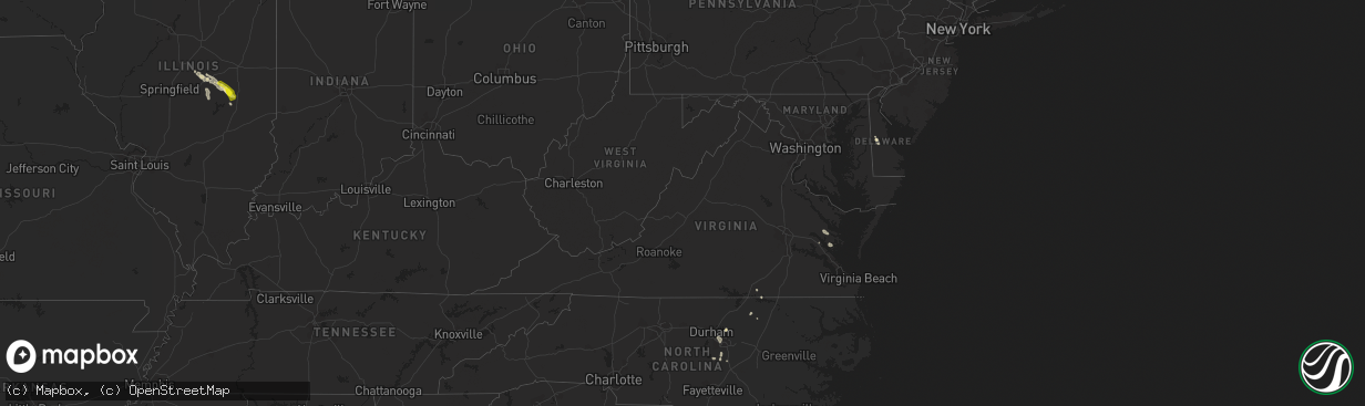
Hail Map in Virginia on July 15, 2022
The weather event in Virginia on July 15, 2022 includes Wind and Hail maps. 17 states and 110 cities were impacted and suffered possible damage. The total estimated number of properties impacted is 0.
Want more than just the map?
Turn this storm into a full workflow.
- Owner + property data so you know who to knock
- OnDemand branded weather history reports to win the "did we even have hail?" argument
- RoofTrace estimate so reps stop guessing numbers at the door
Bought this map? Upgrade within 7 days and we'll credit the $230. (10-15 min setup call)
Wind
Hail
0
Estimated number of impacted properties by a 1.00" hail or larger0
Estimated number of impacted properties by a 1.75" hail or larger0
Estimated number of impacted properties by a 2.50" hail or largerStorm reports in Virginia
Virginia
| Date | Description |
|---|---|
| 07/15/20221:40 PM CDT | Tree downed onto a powerline off of va-198. |
| 07/15/202212:30 PM CDT | Tree downed onto a power line at oakley ln. |
| 07/14/20229:23 PM CDT | At 223 PM EDT, severe thunderstorms were located along a line extending from Blakes to near Mathews to near Hayes, moving southeast at 15 mph. HAZARD...60 mph wind gusts and penny size hail. SOURCE...Radar indicated. IMPACT...Expect damage to trees and powerlines. Severe thunderstorms will be near... Mathews, Gwynn and Mobjack around 235 PM EDT. Achilles around 240 PM EDT. Bavon around 255 PM EDT.Other locations impacted by these severe thunderstorms include Ruff,Beulah, Moon, Laban, Glass, Naxera, Grafton, Harcum, Amburg and FortNonsense. |
| 07/14/20228:27 PM CDT | At 126 PM EDT, a severe thunderstorm was located over Glenns, or near Urbanna, moving east at 15 mph. HAZARD...60 mph wind gusts. SOURCE...Radar indicated. IMPACT...Expect damage to trees and powerlines. This severe thunderstorm will be near... Hartfield around 200 PM EDT.Other locations impacted by this severe thunderstorm include Pinero,Greys Point, Pampa, Harmony Village, Grafton, Harcum, Healys, Cash,Wake and Cooper. |
All States Impacted by Hail Map on July 15, 2022
Cities Impacted by Hail Map on July 15, 2022
- Mattoon, IL
- Humboldt, IL
- Amado, AZ
- Raleigh, NC
- Morrisville, NC
- Marana, AZ
- Tucson, AZ
- Brodnax, VA
- Cartwright, ND
- Savage, MT
- Wibaux, MT
- Beach, ND
- Williamsburg, VA
- Billings, MT
- Acton, MT
- Oreana, IL
- Flagler, CO
- Willow Spring, NC
- Fuquay Varina, NC
- Henrico, NC
- Gasburg, VA
- Mcgregor, ND
- Ray, ND
- Columbus, ND
- Lignite, ND
- Tioga, ND
- Powers Lake, ND
- Richey, MT
- Bloomfield, MT
- Lambert, MT
- Island Park, ID
- Trenton, FL
- Bell, FL
- Alexander, ND
- Felton, DE
- Holly Springs, NC
- Hollister, NC
- Sells, AZ
- Cerro Gordo, IL
- Purvis, MS
- Hattiesburg, MS
- Warrenton, NC
- Harrington, DE
- Waycross, GA
- Kenmare, ND
- Glendo, WY
- Laurel, MT
- Baton Rouge, LA
- Denham Springs, LA
- Molt, MT
- Hammond, IL
- Lovington, IL
- Atwood, IL
- Tuscola, IL
- Arcola, IL
- Arthur, IL
- Gloucester, VA
- Hayes, VA
- Wrightsville, GA
- Covington, LA
- Park River, ND
- Stanley, ND
- Palermo, ND
- Flaxton, ND
- Portal, ND
- Ross, ND
- Dearing, GA
- Fargo, GA
- East Dublin, GA
- New Underwood, SD
- Newell, SD
- Camden Wyoming, DE
- Mobile, AL
- Kenney, IL
- Macon, IL
- Mt Zion, IL
- Decatur, IL
- Dalton City, IL
- Gordon, GA
- Milledgeville, GA
- Matthews, GA
- Wake Forest, NC
- Maroa, IL
- New Raymer, CO
- Musselshell, MT
- Argenta, IL
- Cisco, IL
- Culbertson, MT
- Warrensburg, IL
- Victor, MT
- Angier, NC
- Benson, NC
- Warthen, GA
- Shacklefords, VA
- Saluda, VA
- Forsyth, IL
- Hardin, MT
- Broadview, MT
- Crow Agency, MT
- Rapelje, MT
- Huntley, MT
- Pompeys Pillar, MT
- Ballantine, MT
- Colfax, WA
- Nye, MT
- Fishtail, MT
- Baker, MT
- Plevna, MT
- Milmine, IL
- Bement, IL


