Hail Map in Wisconsin on July 11, 2022
Get this storm
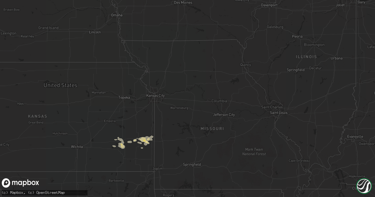
July 11 map
$229
one time, instant access
Download today. No call, no setup
Keep the $229
Bought the map and want the full workflow? Apply the entire $229 to a subscription within 7 days. None of it is wasted.
Every map, not just this one
This buys you this map. Subscription and you get every map we run, in the markets you choose from a few cities to whole states to nationwide. Plus real-time alerts the moment a storm fires.
Contact data
Name, contact info, occupancy, even credit band for addresses in the footprint. You go from where it hit to who to call.
Become the source they trust
Unlimited branding weather history reports on demand. You already have the documented answer ready for the property owner, and you are the one who showed up with it.
Property data and RoofTrace estimates
Pull up any address you have got, its value and the exact code rules for that jurisdiction, straight from One Click Code. Then RoofTrace estimates the squares, pitch, and roof value, priced the way you price.
Storm reports in Wisconsin
Wisconsin
| Date | Description |
|---|---|
| 07/11/20226:10 PM CDT | Trees and powerlines down near the intersection of county road c and cr. |
| 07/11/20223:19 PM CDT | Measured gust at keau. |
| 07/11/20222:01 AM CDT | At 700 PM CDT, a severe thunderstorm was located near Beaver Dam, moving east at 50 mph. HAZARD...60 mph wind gusts and quarter size hail. SOURCE...Radar indicated. IMPACT...Hail damage to vehicles is expected. Expect wind damage to roofs, siding, and trees. Locations impacted include... Beaver Dam, Hartford, Slinger, Horicon, Juneau, Hustisford, Iron Ridge, Addison, Rubicon, Lebanon, Woodland, Neosho, Clyman, Lowell, Nenno, Holy Hill, Allenton, South Beaver Dam, Minnesota Junction and Monches. |
| 07/10/20228:00 PM CDT | Estimated winds 50-60 mph. Relayed by broadcast media. |
| 07/10/20227:46 PM CDT | Report from mping: 1-inch tree limbs broken; shingles blown off. |
All States Impacted by Hail Map on July 11, 2022
Cities Impacted by Hail Map on July 11, 2022
- Fenton, MI
- Holly, MI
- Linden, MI
- Gaines, MI
- Swartz Creek, MI
- Medford, WI
- Withee, WI
- Saint Johns, MI
- Moran, KS
- Saint Augustine, FL
- Folsom, NM
- Hartley, TX
- Dalhart, TX
- Sheboygan, WI
- Elsmore, KS
- Savonburg, KS
- Uniontown, KS
- Divide, CO
- Florissant, CO
- La Veta, CO
- Humboldt, KS
- Iola, KS
- La Harpe, KS
- Muskegon, MI
- Redfield, KS
- Mosquero, NM
- Conchas Dam, NM
- Manistique, MI
- Garden, MI
- Fort Scott, KS
- Bronson, KS
- Turpin, OK
- Springer, NM
- Yates Center, KS
- Buffalo, KS
- Toronto, KS
- Fredonia, KS
- Benedict, KS
- Branson, CO
- Beaver Dam, WI
- Fulton, KS
- Mapleton, KS
- Sperry, IA
- Grenville, NM
- Valders, WI
- Manitowoc, WI
- Newton, WI
- Clayton, NM
- Yarmouth, IA
- Mediapolis, IA
- Durand, MI
- Bancroft, MI
- Grand Blanc, MI
- Owosso, MI
- Morrice, MI
- Virgil, KS
- Model, CO
- Booker, TX
- Hartford, WI
- Hubertus, WI
- Paige, TX
- Bastrop, TX
- McDade, TX
- Repton, AL
- Bay Minette, AL
- Axis, AL
- Satsuma, AL
- Daphne, AL
- Creola, AL
- Saraland, AL
- Abbeville, LA
- Erath, LA
- Lake George, CO
- Newaygo, MI
- Grant, MI
- Gilman, WI
- Walnut, KS
- Hepler, KS
- Texhoma, OK
- Thrall, TX
- Caldwell, TX
- Kiel, WI
- Saint Nazianz, WI
- Conroe, TX
- New Auburn, WI
- Chetek, WI
- Weyerhaeuser, WI
- Holcombe, WI
- Fremont, MI
- Fall River, KS
- Rapid River, MI
- Atmore, AL
- Brewton, AL
- Duson, LA
- Maurice, LA
- Austin, TX
- Saint Johns, FL
- Jacksonville, FL
- Tucumcari, NM
- Mobile, AL
- Thief River Falls, MN


