Hail Map in Alabama on July 11, 2022
Get this storm
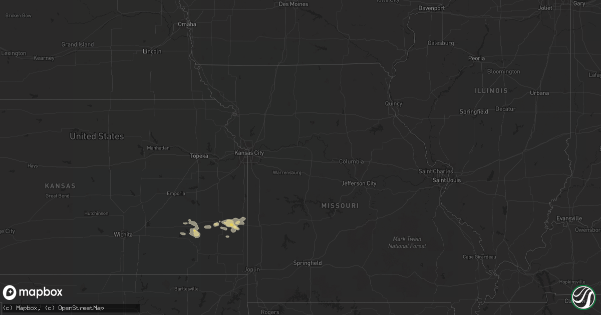
July 11 map
$229
one time, instant access
Download today. No call, no setup
Keep the $229
Bought the map and want the full workflow? Apply the entire $229 to a subscription within 7 days. None of it is wasted.
Every map, not just this one
This buys you this map. Subscription and you get every map we run, in the markets you choose from a few cities to whole states to nationwide. Plus real-time alerts the moment a storm fires.
Contact data
Name, contact info, occupancy, even credit band for addresses in the footprint. You go from where it hit to who to call.
Become the source they trust
Unlimited branding weather history reports on demand. You already have the documented answer ready for the property owner, and you are the one who showed up with it.
Property data and RoofTrace estimates
Pull up any address you have got, its value and the exact code rules for that jurisdiction, straight from One Click Code. Then RoofTrace estimates the squares, pitch, and roof value, priced the way you price.
Storm reports in Alabama
Alabama
| Date | Description |
|---|---|
| 07/11/20226:50 PM CDT | Report of a tree down on a house on west daniels rd. Time estimated from radar. |
| 07/11/20226:45 PM CDT | Reports of multiple power lines down on dauphin island parkway... One blocking the roadway. Time estimated from radar. |
| 07/11/20225:55 PM CDT | Reports of multiple trees and power lines down in the vicinity of the crossroads and whitehouse forks communities. Time estimated between 550-600 pm from radar. |
| 07/11/20221:01 AM CDT | At 600 PM CDT, severe thunderstorms were located along a line extending from Creola to 5 miles west of Stapleton, moving southwest at 20 mph. HAZARD...60 mph wind gusts. SOURCE...Radar indicated. IMPACT...Expect damage to roofs, siding, and trees. Locations impacted include... Midtown Mobile, Downtown Mobile, Prichard, Tillmans Corner, Saraland, Chickasaw, Satsuma, Spanish Fort, Creola, Axis, I65 And I165, Mobile Regional Airport, I65 And AL 158 and I10 And I65. |
| 07/11/202212:50 AM CDT | At 550 PM CDT, a severe thunderstorm was located 4 miles northwest of Stapleton, or 6 miles southwest of Bay Minette, moving southwest at 15 mph. HAZARD...60 mph wind gusts. SOURCE...Radar indicated. IMPACT...Expect damage to roofs, siding, and trees. Locations impacted include... Spanish Fort and Stapleton. |
All States Impacted by Hail Map on July 11, 2022
Cities Impacted by Hail Map on July 11, 2022
- Fenton, MI
- Holly, MI
- Linden, MI
- Gaines, MI
- Swartz Creek, MI
- Medford, WI
- Withee, WI
- Saint Johns, MI
- Moran, KS
- Saint Augustine, FL
- Folsom, NM
- Hartley, TX
- Dalhart, TX
- Sheboygan, WI
- Elsmore, KS
- Savonburg, KS
- Uniontown, KS
- Divide, CO
- Florissant, CO
- La Veta, CO
- Humboldt, KS
- Iola, KS
- La Harpe, KS
- Muskegon, MI
- Redfield, KS
- Mosquero, NM
- Conchas Dam, NM
- Manistique, MI
- Garden, MI
- Fort Scott, KS
- Bronson, KS
- Turpin, OK
- Springer, NM
- Yates Center, KS
- Buffalo, KS
- Toronto, KS
- Fredonia, KS
- Benedict, KS
- Branson, CO
- Beaver Dam, WI
- Fulton, KS
- Mapleton, KS
- Sperry, IA
- Grenville, NM
- Valders, WI
- Manitowoc, WI
- Newton, WI
- Clayton, NM
- Yarmouth, IA
- Mediapolis, IA
- Durand, MI
- Bancroft, MI
- Grand Blanc, MI
- Owosso, MI
- Morrice, MI
- Virgil, KS
- Model, CO
- Booker, TX
- Hartford, WI
- Hubertus, WI
- Paige, TX
- Bastrop, TX
- McDade, TX
- Repton, AL
- Bay Minette, AL
- Axis, AL
- Satsuma, AL
- Daphne, AL
- Creola, AL
- Saraland, AL
- Abbeville, LA
- Erath, LA
- Lake George, CO
- Newaygo, MI
- Grant, MI
- Gilman, WI
- Walnut, KS
- Hepler, KS
- Texhoma, OK
- Thrall, TX
- Caldwell, TX
- Kiel, WI
- Saint Nazianz, WI
- Conroe, TX
- New Auburn, WI
- Chetek, WI
- Weyerhaeuser, WI
- Holcombe, WI
- Fremont, MI
- Fall River, KS
- Rapid River, MI
- Atmore, AL
- Brewton, AL
- Duson, LA
- Maurice, LA
- Austin, TX
- Saint Johns, FL
- Jacksonville, FL
- Tucumcari, NM
- Mobile, AL
- Thief River Falls, MN


