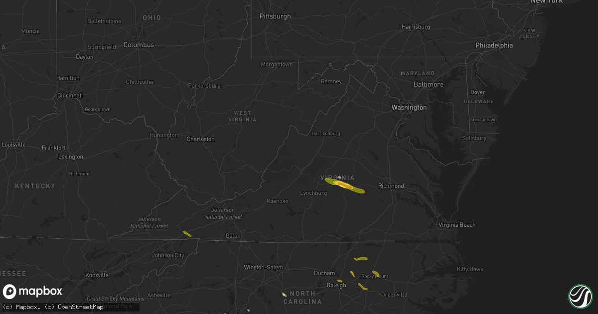
Hail Map in Virginia on June 22, 2016
Get this storm
June 22 map
$229
one time, instant access
Download today. No call, no setup
Keep the $229
Bought the map and want the full workflow? Apply the entire $229 to a subscription within 7 days. None of it is wasted.
Every map, not just this one
This buys you this map. Subscription and you get every map we run, in the markets you choose from a few cities to whole states to nationwide. Plus real-time alerts the moment a storm fires.
Contact data
Name, contact info, occupancy, even credit band for addresses in the footprint. You go from where it hit to who to call.
Become the source they trust
Unlimited branding weather history reports on demand. You already have the documented answer ready for the property owner, and you are the one who showed up with it.
Property data and RoofTrace estimates
Pull up any address you have got, its value and the exact code rules for that jurisdiction, straight from One Click Code. Then RoofTrace estimates the squares, pitch, and roof value, priced the way you price.
Storm reports in Virginia
Virginia
| Date | Description |
|---|---|
| 06/22/20162:30 PM CDT | Several trees down. |
| 06/22/20162:10 PM CDT | Report from post office employee |
| 06/22/201612:40 PM CDT | A few trees down. |
| 06/22/20166:25 AM CDT | Trees downed near osborne rd and us-1. |
| 06/22/20166:00 AM CDT | Numerous trees down on va-603 between winterpock and skinquarter. |
| 06/22/20165:55 AM CDT | Power lines down along lucks rd near powhite pkwy. |
| 06/22/20165:40 AM CDT | Trees down at pine grove and va-604. |
| 06/22/20165:25 AM CDT | Trees down along genito road... Just north of amelia courthouse. |
| 06/22/20165:15 AM CDT | Trees downed along anderson hwy near cumberland courthouse. Hail as large as a quarter also reported at this location. |
| 06/22/20165:10 AM CDT | Time is radar estimated. |
| 06/22/20164:58 AM CDT | Photo relayed from media via social media report. |
All States Impacted by Hail Map on June 22, 2016
Cities Impacted by Hail Map on June 22, 2016
- Montrose, MN
- Waverly, MN
- Delano, MN
- Lonsdale, MN
- Webster, MN
- Dundas, MN
- Faribault, MN
- Northfield, MN
- New Prague, MN
- Howard Lake, MN
- Maple Plain, MN
- Wingina, VA
- Buckingham, VA
- Cumberland, VA
- Dillwyn, VA
- Kilkenny, MN
- Montgomery, MN
- Racine, WI
- Franksville, WI
- Elk Mound, WI
- Eau Claire, WI
- Chippewa Falls, WI
- Nerstrand, MN
- Belle Plaine, MN
- Toponas, CO
- Asheboro, NC
- Colfax, WI
- Mound, MN
- Long Lake, MN
- Le Center, MN
- Manns Harbor, NC
- Macon, NC
- Concord, NC
- Rock Falls, IL
- Prophetstown, IL
- Tampico, IL
- Howardsville, VA
- Scottsville, VA
- Wayzata, MN
- Rocky Mount, NC
- Warrenton, NC
- Henderson, NC
- Hollister, NC
- Louisburg, NC
- Battleboro, NC
- Bunn, NC
- Zebulon, NC
- Sims, NC
- Wilson, NC
- Middlesex, NC
- Bailey, NC
- Raleigh, NC
- Jordan, MN
- Kenyon, MN
- West Concord, MN
- Damascus, VA
- Abingdon, VA
- Meadowview, VA
- Powhatan, VA
- Farmville, VA
- Arrington, VA
- Norwood, VA
- Shipman, VA
- Amelia Court House, VA
- Gladstone, VA


