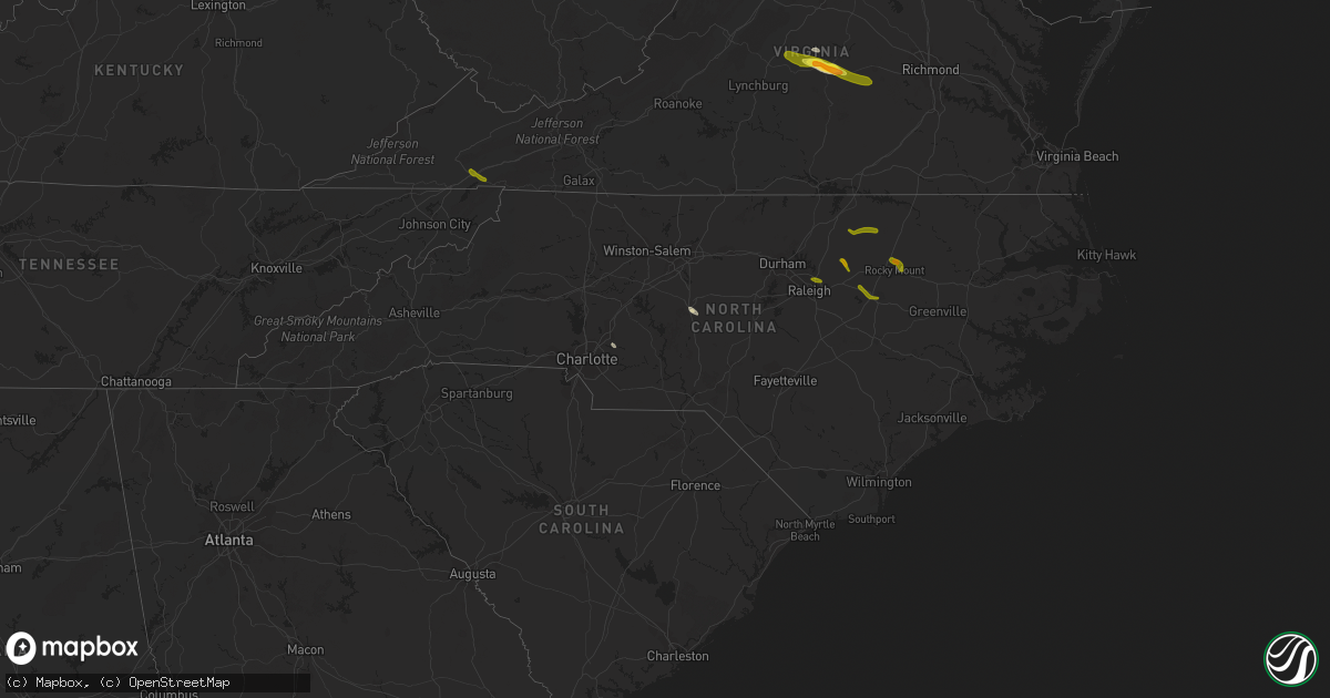
Hail Map in North Carolina on June 22, 2016
Get this storm
June 22 map
$229
one time, instant access
Download today. No call, no setup
Keep the $229
Bought the map and want the full workflow? Apply the entire $229 to a subscription within 7 days. None of it is wasted.
Every map, not just this one
This buys you this map. Subscription and you get every map we run, in the markets you choose from a few cities to whole states to nationwide. Plus real-time alerts the moment a storm fires.
Contact data
Name, contact info, occupancy, even credit band for addresses in the footprint. You go from where it hit to who to call.
Become the source they trust
Unlimited branding weather history reports on demand. You already have the documented answer ready for the property owner, and you are the one who showed up with it.
Property data and RoofTrace estimates
Pull up any address you have got, its value and the exact code rules for that jurisdiction, straight from One Click Code. Then RoofTrace estimates the squares, pitch, and roof value, priced the way you price.
Storm reports in North Carolina
North Carolina
| Date | Description |
|---|---|
| 06/22/20164:19 PM CDT | Tree fell on house on vanderhorst dr. Occupants inside but no injuries. |
| 06/22/20164:11 PM CDT | Powerlines down near hwy 49 and lacoma ln. |
| 06/22/20163:36 PM CDT | Several large tree limbs down. Also... Large tree down next door... Blocking the driveway. Nickel size hail also observed. |
| 06/22/20163:17 PM CDT | Tree down blocking road at back creek church rd and stutts rd. |
| 06/22/20163:17 PM CDT | Tree reported down blocking roadway at nc hwy 49 and tot hill farm rd. |
| 06/22/20162:30 PM CDT | 58mph winds damaged rotor blades on 2 tied down helicopters at the salisbury rowan county airport. |
| 06/22/20162:25 PM CDT | A couple trees blown down on st pauls church rd and glover rd. |
| 06/22/201610:52 AM CDT | Approximately 4x8 foot sign blown into roadway on greenville blvd |
| 06/22/20164:00 AM CDT | Tree downed across hwy 561 at williams road. |
| 06/22/20163:55 AM CDT | Tree down across mountain view rd in the grove hill area. |
| 06/22/201612:00 AM CDT | Tree down on a car. No injuries reported. |
| 06/21/201611:37 PM CDT | Trained skywarn spotter reports nickel to quarter-size hail falling. |
| 06/21/201610:52 PM CDT | Approximately 4x8 foot sign blown into roadway on greenville blvd |
| 06/21/201610:49 PM CDT | Tree down partially covering roadway near arlington blvd and mulberry ln |
| 06/21/201610:35 PM CDT | . |
| 06/21/201610:29 PM CDT | Spotters perronal weather station reported 83 mph. |
| 06/21/201610:25 PM CDT | Spotter reported large tree limbs and trees down in his yard. |
| 06/21/201610:20 PM CDT | . |
| 06/21/201610:15 PM CDT | . |
| 06/21/201610:15 PM CDT | Powerlines downed at old raleigh road and rock ride sims road. |
| 06/21/201610:00 PM CDT | . The duration of the hail event was 15 minutes. |
| 06/21/201610:00 PM CDT | Tree down on outbuilding. |
| 06/21/20169:35 PM CDT | Tree down on highway 98 just outside bunn. |
| 06/21/20169:35 PM CDT | Public report of quarter-size hail near the intersection of hwy 97 and old battleboro rd... Relayed via local media social media page. |
| 06/21/20169:35 PM CDT | Tree down near the 300 block of bunn elementary school road. |
| 06/21/20169:23 PM CDT | Tree down on hart road. |
| 06/21/20169:10 PM CDT | Multiple trees down in louisburg. |
| 06/21/20169:08 PM CDT | Tree down on mays crossroads road near franklinton. |
| 06/21/20168:55 PM CDT | Tree down. |
All States Impacted by Hail Map on June 22, 2016
Cities Impacted by Hail Map on June 22, 2016
- Montrose, MN
- Waverly, MN
- Delano, MN
- Lonsdale, MN
- Webster, MN
- Dundas, MN
- Faribault, MN
- Northfield, MN
- New Prague, MN
- Howard Lake, MN
- Maple Plain, MN
- Wingina, VA
- Buckingham, VA
- Cumberland, VA
- Dillwyn, VA
- Kilkenny, MN
- Montgomery, MN
- Racine, WI
- Franksville, WI
- Elk Mound, WI
- Eau Claire, WI
- Chippewa Falls, WI
- Nerstrand, MN
- Belle Plaine, MN
- Toponas, CO
- Asheboro, NC
- Colfax, WI
- Mound, MN
- Long Lake, MN
- Le Center, MN
- Manns Harbor, NC
- Macon, NC
- Concord, NC
- Rock Falls, IL
- Prophetstown, IL
- Tampico, IL
- Howardsville, VA
- Scottsville, VA
- Wayzata, MN
- Rocky Mount, NC
- Warrenton, NC
- Henderson, NC
- Hollister, NC
- Louisburg, NC
- Battleboro, NC
- Bunn, NC
- Zebulon, NC
- Sims, NC
- Wilson, NC
- Middlesex, NC
- Bailey, NC
- Raleigh, NC
- Jordan, MN
- Kenyon, MN
- West Concord, MN
- Damascus, VA
- Abingdon, VA
- Meadowview, VA
- Powhatan, VA
- Farmville, VA
- Arrington, VA
- Norwood, VA
- Shipman, VA
- Amelia Court House, VA
- Gladstone, VA


