Hail Map in Saint Paul, MN on June 18, 2012
Get this storm
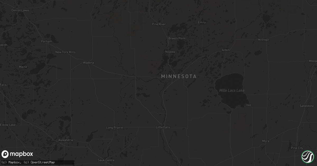
June 18 map
$229
one time, instant access
Download today. No call, no setup
Keep the $229
Bought the map and want the full workflow? Apply the entire $229 to a subscription within 7 days. None of it is wasted.
Every map, not just this one
This buys you this map. Subscription and you get every map we run, in the markets you choose from a few cities to whole states to nationwide. Plus real-time alerts the moment a storm fires.
Contact data
Name, contact info, occupancy, even credit band for addresses in the footprint. You go from where it hit to who to call.
Become the source they trust
Unlimited branding weather history reports on demand. You already have the documented answer ready for the property owner, and you are the one who showed up with it.
Property data and RoofTrace estimates
Pull up any address you have got, its value and the exact code rules for that jurisdiction, straight from One Click Code. Then RoofTrace estimates the squares, pitch, and roof value, priced the way you price.
Storm reports in Saint Paul, MN
Saint Paul, MN
| Date | Description |
|---|---|
| 06/18/20125:55 AM CDT | A local report indicates 1.00 inch wind near VADNAIS HEIGHTS |
| 06/18/20124:35 AM CDT | 1 ft diameter tree downed near intersection of bailey road and radio drive. Time estimated. |
| 06/18/20124:30 AM CDT | 2 ft diameter tree downed in southeast st. Paul near maplewood border. Time estimated. |
| 06/18/20124:29 AM CDT | Reported at st paul downtown airport |
| 06/18/20124:23 AM CDT | 30 ft tall pine tree uprooted. Branches broken off other trees. |
| 06/18/20124:10 AM CDT | 14 power poles knocked down or snapped in half along pilot knob road between county rd 42 and county road 46...closing road. Time estimated. |
All States Impacted by Hail Map on June 18, 2012
All Cities Impacted by Hail Map on June 18, 2012
- Dagmar, MT
- Mosinee, WI
- Ringle, WI
- Moran, MI
- Manistique, MI
- Marion, WI
- Clintonville, WI
- Poplar, MT
- Flaxville, MT
- Suring, WI
- Marinette, WI
- Coleman, WI
- Pound, WI
- Lena, WI
- Peshtigo, WI
- Russell, MN
- Marshall, MN
- Lynd, MN
- Laona, WI
- Crandon, WI
- Wabeno, WI
- Redstone, MT
- Erwin, SD
- Lake Preston, SD
- De Smet, SD
- Arlington, SD
- Stanley, WI
- Alma, WI
- Nelson, WI
- Willard, WI
- Augusta, WI
- Eleva, WI
- Fairchild, WI
- Mondovi, WI
- Osseo, WI
- Independence, WI
- Strum, WI
- Fall Creek, WI
- Larsen, WI
- Neenah, WI
- Schofield, WI
- Watertown, SD
- Lonsdale, MN
- Montgomery, MN
- Kilkenny, MN
- Northfield, MN
- Faribault, MN
- Dundas, MN
- New Prague, MN
- Jordan, MN
- Shakopee, MN
- Waupaca, WI
- Roscoe, SD
- Menomonie, WI
- Spencer, OH
- Sullivan, OH
- Homerville, OH
- Wellington, OH
- Roma, TX
- Williston, ND
- Webster, MN
- Elton, WI
- Bryant, WI
- Bowler, WI
- Antigo, WI
- White Lake, WI
- Maple City, MI
- Empire, MI
- Fairfax, MN
- Brandt, SD
- Clear Lake, SD
- Toronto, SD
- Bryant, SD
- Willow Lake, SD
- Volga, SD
- Brookings, SD
- Bruce, SD
- Medford, WI
- Escanaba, MI
- Gladstone, MI
- Hosmer, SD
- Eureka, SD
- Leola, SD
- Rudyard, MI
- Grenora, ND
- Bainville, MT
- Medicine Lake, MT
- Froid, MT
- Cogswell, ND
- Farmington, MN
- Lakeville, MN
- Elcho, WI
- Selby, SD
- Huron, OH
- Wakeman, OH
- Vermilion, OH
- Berlin Heights, OH
- Middleville, MI
- Spring Valley, WI
- Ellsworth, WI
- Elmwood, WI
- Plum City, WI
- Maiden Rock, WI
- Edgar, WI
- Marathon, WI
- Wausau, WI
- Traverse City, MI
- Colfax, WI
- Porterfield, WI
- Crivitz, WI
- Wallace, MI
- Menominee, MI
- Watertown, MN
- Waconia, MN
- Mayer, MN
- Athens, WI
- Rib Lake, WI
- Merrill, WI
- Frederick, SD
- Grenville, SD
- Webster, SD
- Newport, MI
- Eau Galle, WI
- New Town, ND
- Mandaree, ND
- Keene, ND
- Gulliver, MI
- Willmar, MN
- Tawas City, MI
- Goodhue, MN
- Red Wing, MN
- Wallace, SD
- Bradley, SD
- Brockton, MT
- Mount Crawford, VA
- Bridgewater, VA
- Wessington, SD
- Wolsey, SD
- Westport, SD
- Keshena, WI
- Williston, OH
- Martin, OH
- Genoa, OH
- Curtice, OH
- Millbury, OH
- Clay Center, OH
- Wayne, OH
- Fostoria, OH
- Bowling Green, OH
- Risingsun, OH
- Jerry City, OH
- Cygnet, OH
- Weston, OH
- Portage, OH
- Bloomdale, OH
- West Millgrove, OH
- Rudolph, OH
- Maumee, OH
- Holland, OH
- Monclova, OH
- Java, SD
- Ipswich, SD
- Bowdle, SD
- Barnard, SD
- Hecla, SD
- Oakes, ND
- Columbia, SD
- Cornell, MI
- Colby, WI
- Abbotsford, WI
- Tyler, MN
- Arco, MN
- Lake Benton, MN
- Greenwich, OH
- New London, OH
- Orr, MN
- Crane Lake, MN
- Custer, WI
- Iola, WI
- Amherst Junction, WI
- Beldenville, WI
- Balaton, MN
- Newberry, MI
- Naubinway, MI
- Trout Lake, MI
- Hitchcock, SD
- Bonduel, WI
- Black Creek, WI
- Shiocton, WI
- Nichols, WI
- Roscommon, MI
- Fife Lake, MI
- Grayling, MI
- Sleepy Eye, MN
- Redwood Falls, MN
- Morgan, MN
- Morton, MN
- Lafayette, MN
- Gibbon, MN
- Wabasso, MN
- Winthrop, MN
- Franklin, MN
- Galion, OH
- Pepin, WI
- Appleton, MN
- Correll, MN
- Madison, MN
- Bellingham, MN
- Saint Ignace, MI
- Cadillac, MI
- Aurora, SD
- Ruthton, MN
- Elkton, SD
- Interlochen, MI
- Grawn, MI
- Appleton, WI
- Fremont, WI
- Hortonville, WI
- Barryton, MI
- Sears, MI
- Veblen, SD
- Durand, WI
- Milbank, SD
- Saint Peter, MN
- Hendricks, MN
- Walnut Grove, MN
- Tracy, MN
- Renville, MN
- Estelline, SD
- Astoria, SD
- Bird Island, MN
- New Ulm, MN
- Minneota, MN
- Green Isle, MN
- Porter, MN
- Canby, MN
- Belview, MN
- Gaylord, MN
- Norwood Young America, MN
- Wood Lake, MN
- New Germany, MN
- Sacred Heart, MN
- Carpenter, SD
- Lester Prairie, MN
- Hector, MN
- Granite Falls, MN
- Young America, MN
- Stewart, MN
- Arlington, MN
- Glencoe, MN
- Clarkfield, MN
- Dawson, MN
- Plato, MN
- Clements, MN
- Lamberton, MN
- Gary, SD
- Iroquois, SD
- Castlewood, SD
- Yale, SD
- Cottonwood, MN
- Hamburg, MN
- Cologne, MN
- Henderson, MN
- Lucan, MN
- Hanley Falls, MN
- Lake Norden, SD
- Le Sueur, MN
- Danube, MN
- Saint Lawrence, SD
- Ivanhoe, MN
- Ghent, MN
- Huron, SD
- Hayti, SD
- Milroy, MN
- Seaforth, MN
- Boyd, MN
- Olivia, MN
- Badger, SD
- Vesta, MN
- White, SD
- Nicollet, MN
- Echo, MN
- Brownton, MN
- Raymond, SD
- Almond, WI
- Tulare, SD
- Roslyn, SD
- Gould City, MI
- Sault Sainte Marie, MI
- Kincheloe, MI
- Kinross, MI
- Rapid River, MI
- New Richmond, WI
- Mountain, WI
- Britton, SD
- Peever, SD
- Florence, SD
- Polk, OH
- Ashland, OH
- Saint Paul, MN
- Raymondville, TX
- Loyal, WI
- Owen, WI
- Curtiss, WI
- Unity, WI
- Stevens Point, WI
- Clark, SD
- Little Suamico, WI
- Abrams, WI
- Marvin, SD
- Garden City, SD
- Henry, SD
- Baileys Harbor, WI
- Stillwater, MN
- Bark River, MI
- Spalding, MI
- Daggett, MI
- Garden, MI
- Wilson, MI
- Perronville, MI
- Carney, MI
- Stephenson, MI
- Powers, MI
- Homestead, MT
- Oak Harbor, OH
- Collins, OH
- Norwalk, OH
- Oshkosh, WI
- Humbird, WI
- Wessington Springs, SD
- Bloomer, WI
- Grand Rapids, MI
- Birnamwood, WI
- Aniwa, WI
- Watford City, ND
- Dorchester, WI
- Stetsonville, WI
- Rosholt, WI
- Tigerton, WI
- Ogdensburg, WI
- Scandinavia, WI
- Amherst, WI
- Hastings, MN
- Falmouth, MI
- Merritt, MI
- Lake City, MI
- Walbridge, OH
- Perrysburg, OH
- Swanton, OH
- Neapolis, OH
- Kansas, OH
- Whitehouse, OH
- Tontogany, OH
- Haskins, OH
- Grand Rapids, OH
- Waterville, OH
- Liberty Center, OH
- Milton Center, OH
- Tiffin, OH
- Custar, OH
- McClure, OH
- North Baltimore, OH
- Cannon Falls, MN
- Algoma, WI
- Sturgeon Bay, WI
- Sheboygan, WI
- Belle Plaine, MN
- Carver, MN
- Onsted, MI
- Adrian, MI
- Tipton, MI
- Havana, ND
- Forman, ND
- Cayuga, ND
- Rutland, ND
- Lidgerwood, ND
- Grand Marais, MN
- New Effington, SD
- Chippewa Falls, WI
- Newton, WI
- Cleveland, WI
- Withee, WI
- Reserve, MT
- Hager City, WI
- Prescott, WI
- Cosmos, MN
- Millersburg, OH
- Killbuck, OH
- Kiel, WI
- Valders, WI
- Whitelaw, WI
- Manitowoc, WI
- Eau Claire, WI
- West Alexander, PA
- Doland, SD
- Deerbrook, WI
- Le Center, MN
- Hatley, WI
- Eland, WI
- Brussels, WI
- Oconto, WI
- Callands, VA
- Chatham, VA
- Welch, MN
- Hampton, MN
- Randolph, MN
- Brillion, WI
- Weyauwega, WI
- Elk Mound, WI
- Arkansaw, WI
- Boyd, WI
- Cornell, WI
- Thorp, WI
- Lublin, WI
- Gilman, WI
- Gleason, WI
- Irma, WI
- Ortley, SD
- Waubay, SD
- Dugspur, VA
- Hillsville, VA
- Fremont, MI
- Lake City, MN
- Stockholm, WI
- Wilmot, SD
- Houlton, WI
- Bayport, MN
- Hudson, WI
- Vermillion, MN
- Elko New Market, MN
- Kenyon, MN
- Prior Lake, MN
- Rosemount, MN
- Nerstrand, MN
- Dennison, MN
- Bay City, WI
- Cottage Grove, MN
- River Falls, WI
- Afton, MN
- South Shore, SD
- Cedar, MI
- Fish Creek, WI
- Eden, SD
- Somerset, WI
- Lake Elmo, MN
- Chaska, MN
- Chanhassen, MN
- Excelsior, MN
- Galax, VA
- Mattoon, WI
- Lakeland, MN
- Willernie, MN
- Killdeer, ND
- New London, WI
- Allendale, MI
- Marne, MI
- Coopersville, MI
- Pickford, MI
- Concepcion, TX
- Independence, VA
- Neopit, WI
- Pearson, WI
- Jim Falls, WI
- Cadott, WI
- Summit Lake, WI
- Rothschild, WI
- Tomahawk, WI
- Gresham, WI
- Brokaw, WI
- Greenwood, WI
- Athelstane, WI
- Pickerel, WI
- Stratford, WI
- Spencer, WI
- Aberdeen, SD
- Vienna, SD
- Hazel, SD
- Marshfield, WI
- Lowell, MI
- Delton, MI
- Ada, MI
- Shelbyville, MI
- Wayland, MI
- Alto, MI
- Caledonia, MI
- Hastings, MI
- Kabetogama, MN
- Littlefork, MN
- Rio Grande City, TX
- Coshocton, OH
- West Salem, OH
- Jeromesville, OH
- Wooster, OH
- Dayton, VA
- Plainfield, WI
- Bancroft, WI
- Malone, WI
- Chilton, WI
- Blomkest, MN
- Lake Lillian, MN
- Roseglen, ND
- Boyceville, WI
- Knapp, WI
- Pemberville, OH
- Shreve, OH
- Big Prairie, OH
- Amherst, OH
- Kingsley, MI
- Reedsville, WI
- Hopkins, MI
- Eagle Butte, SD
- Premont, TX
- Amberg, WI
- Benson, MN
- Weyers Cave, VA
- Realitos, TX
- Monroeville, OH
- Montague, MI
- Whitehall, MI
- Whitehall, WI
- Blair, WI
- Hixton, WI
- Milan, OH
- Forestville, WI
- Claremont, SD
- Houghton, SD
- Krakow, WI
- Gettysburg, SD
- Ellendale, ND
- Minneapolis, MN
- Greenleaf, WI
- Warsaw, OH
- Odessa, MN
- Hinton, VA
- Ellison Bay, WI
- Hilbert, WI
- Wild Rose, WI
- Berlin, WI
- Menasha, WI
- Kaukauna, WI
- Winneconne, WI
- Pine River, WI
- Butte Des Morts, WI
- Stockbridge, WI
- Sherwood, WI
- Omro, WI
- Poy Sippi, WI
- Dupree, SD
- Barbeau, MI
- Wells, MI
- Engadine, MI
- Dafter, MI
- Nahma, MI
- Ravenna, MI
- Muskegon, MI
- Twin Brooks, SD
- Holcombe, WI
- Claysville, PA
- Atwater, MN
- Osseo, MN
- Maple Grove, MN
- Woodville, OH
- Luckey, OH
- Wheaton, MN
- Summit, SD
- Beulah, MI
- Buckley, MI
- Montevideo, MN
- Attica, OH
- Alma Center, WI
- Two Rivers, WI
- Freeport, MI
- Elmore, OH
- Pulaski, WI
- Oconto Falls, WI
- Sobieski, WI
- Manawa, WI
- San Diego, TX
- Gillett, WI
- Twin Lake, MI
- International Falls, MN
- Lake Ann, MI
- Kandiyohi, MN
- Altoona, WI
- Hutchinson, MN
- Dassel, MN
- Silver Lake, MN
- Cokato, MN
- Bailey, MI
- Grant, MI
- Conklin, MI
- Corona, SD
- Elkhart Lake, WI
- Neillsville, WI
- Inver Grove Heights, MN
- South Saint Paul, MN
- Thompsonville, MI
- Honor, MI
- Grand Haven, MI
- Sparta, MI
- Comstock Park, MI
- Sand Lake, MI
- Litchfield, MN
- Grove City, MN
- Hessel, MI
- Hewitt, WI
- Chili, WI
- Saint Paul Park, MN
- Newport, MN
- Cleveland, MN
- Frontenac, MN
- Sisseton, SD
- Ringgold, VA
- Kennan, WI
- Roberts, WI
- Manitou Beach, MI
- Tecumseh, MI
- Brooklyn, MI
- Nova, OH
- Kimball, SD
- Rock, MI
- Brantwood, WI
- Vulcan, MI
- Hopkins, MN
- Minnetonka, MN
- Eden Prairie, MN
- Traphill, NC
- Wausaukee, WI
- Kewaunee, WI
- Miller, SD
- Holton, MI
- Hermansville, MI
- Maple Plain, MN
- Victoria, MN
- Saint Bonifacius, MN
- Mound, MN
- Egg Harbor, WI
- Sister Bay, WI


