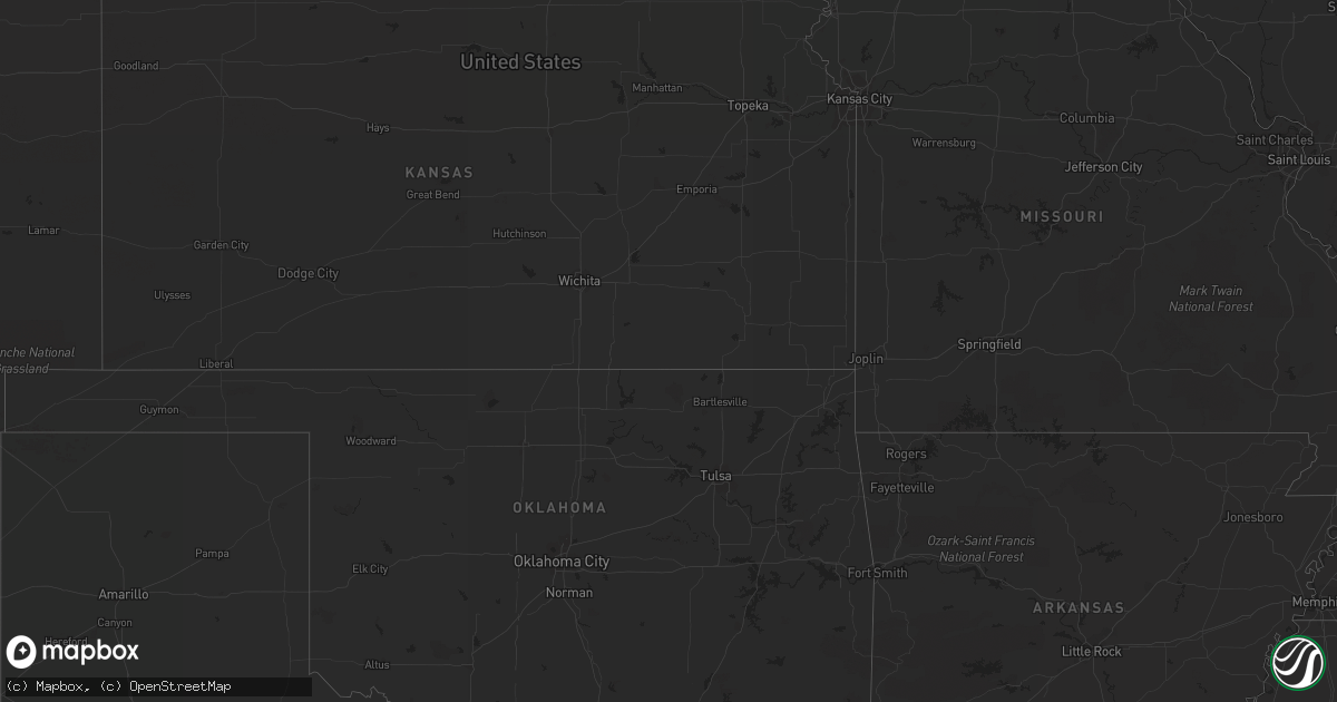
Hail Map in Florida on May 18, 2012
Get this storm
May 18 map
$229
one time, instant access
Download today. No call, no setup
Keep the $229
Bought the map and want the full workflow? Apply the entire $229 to a subscription within 7 days. None of it is wasted.
Every map, not just this one
This buys you this map. Subscription and you get every map we run, in the markets you choose from a few cities to whole states to nationwide. Plus real-time alerts the moment a storm fires.
Contact data
Name, contact info, occupancy, even credit band for addresses in the footprint. You go from where it hit to who to call.
Become the source they trust
Unlimited branding weather history reports on demand. You already have the documented answer ready for the property owner, and you are the one who showed up with it.
Property data and RoofTrace estimates
Pull up any address you have got, its value and the exact code rules for that jurisdiction, straight from One Click Code. Then RoofTrace estimates the squares, pitch, and roof value, priced the way you price.
Storm reports in Florida
Florida
| Date | Description |
|---|---|
| 05/18/20126:43 PM CDT | Quarter size hail reported near lake lowery. Time estimated by radar. |
| 05/18/20125:15 PM CDT | Dime to quarter size hail. |
| 05/18/20123:35 PM CDT | A severe thunderstorm and possible tornado snapped several trees and downed at least 6 powerline poles near the intersection of old u.s. Highway 27 and hookers point ro |
| 05/18/20121:20 PM CDT | Large tree downed near 44th street and 113th terrace in doral. |
| 05/18/20121:20 PM CDT | Quarter size hail reported near the intersection of palmetto expressway and doral blvd. |
| 05/18/20121:20 PM CDT | An off duty nws employee reported a large tree down on northwest 58th st in doral between northwest 102 ave and northwest 107 ave. |
| 05/18/20121:20 PM CDT | Large tree uprooted and lightpole downed near the intersection of nw 58th street and 95th ave. |
| 05/18/20121:20 PM CDT | An off duty nws employee reported a large tree down on northwest 58th st in doral between northwest 102 ave and northwest 107 ave. |
| 05/18/20121:17 PM CDT | At least two trees snapped near the eugenia b. Thomas school. |
| 05/18/20121:17 PM CDT | Quarter sized hail was reported near nw 41 and nw 58th streets in doral. |
| 05/18/20121:15 PM CDT | Hail slightly larger than a quarter was reported near nw 41st and 107th ave in doral |
| 05/18/20121:15 PM CDT | Hail slightly larger than a quarter was reported near nw 41st and 107th ave at doral. |
| 05/18/20121:15 PM CDT | A member of the public estimated wind speeds up to 70 mph near the intersection of nw 58th street and nw 107th ave. In doral |
| 05/18/20121:15 PM CDT | Trees down and window screens blown out in balmoral estates and doral isles in doral. Winds estimated 60 to 70 mph. |
| 05/18/20121:15 PM CDT | Public estimated wind gusts to 60 mph in doral. |
| 05/18/20121:10 PM CDT | Tree downed near the intersection of sw 8th street and sw 139th ave. |
| 05/18/20121:10 PM CDT | Trees downed near the intersection of nw 64th street and nw 114th avenue. |
| 05/18/20121:00 PM CDT | Large tree branches broken off near sw 8th street and sw 147th ave. |
All States Impacted by Hail Map on May 18, 2012
Cities Impacted by Hail Map on May 18, 2012
- Johnstown, NE
- Little Falls, MN
- Cokato, MN
- Annandale, MN
- Sauk Centre, MN
- Salix, IA
- Mullen, NE
- Valentine, NE
- Butterfield, MN
- Mountain Lake, MN
- Trimont, MN
- Faulkton, SD
- Cresbard, SD
- Orient, SD
- Ipswich, SD
- Randolph, NE
- Deland, FL
- Clewiston, FL
- Hector, MN
- Fairfax, MN
- Lamberton, MN
- Brooten, MN
- Foreston, MN
- Milaca, MN
- Onamia, MN
- Howard Lake, MN
- Maple Lake, MN
- Sauk Rapids, MN
- Pompano Beach, FL
- Winnebago, NE
- Saint Cloud, MN
- Waite Park, MN
- Rice, MN
- Sartell, MN
- Mapleton, IA
- Woodland, MS
- Spicer, MN
- Casper, WY
- Powder Springs, TN
- Purdum, NE
- Deadwood, SD
- Lead, SD
- Wildwood, GA
- Belgrade, MN
- Long Valley, SD
- Harrison, NE
- Willmar, MN
- Spring Hill, TN
- Columbia, TN
- Elrosa, MN
- Long Prairie, MN
- Osakis, MN
- Natrona, WY
- Saint Cloud, FL
- Foley, MN
- Union, NE
- Trenton, GA
- Chattanooga, TN
- Midland, SD
- Interior, SD
- Kadoka, SD
- Philip, SD
- Belvidere, SD
- Wanblee, SD
- Watkins, MN
- Kimball, MN
- Litchfield, MN
- Boca Raton, FL
- Heron Lake, MN
- New London, MN
- Big Stone Gap, VA
- Elsmere, NE
- Onawa, IA
- Okeechobee, FL
- Elk Park, NC
- Newland, NC
- Highmore, SD
- Osmond, NE
- Mclean, NE
- Erhard, MN
- Thedford, NE
- Nashville, TN
- Danbury, IA
- Louisville, MS
- Rawlins, WY
- Revere, MN
- Lemoyne, NE
- Manchester, TN
- Leola, SD
- Hillman, MN
- Deer Lodge, TN
- Miami, FL
- Arthur, NE
- Comfrey, MN
- Alliance, NE
- Eagle Butte, SD
- Darfur, MN
- Dryden, VA
- Hyannis, NE
- Whitman, NE
- Washburn, TN
- Blaine, TN
- Luttrell, TN
- Rutledge, TN
- Paragonah, UT
- Parowan, UT
- Halsey, NE
- Monticello, MN
- Becker, MN
- Clear Lake, MN
- Murphy, NC
- Copperhill, TN
- Nebraska City, NE
- Homer, NE
- Macy, NE
- Sloan, IA
- Kandiyohi, MN
- Lynnville, TN
- Evansville, MN
- Oak Ridge, TN
- Casselberry, FL
- Winter Springs, FL
- Hanska, MN
- Saint James, MN
- Brule, NE
- Fairmount, ND
- Lewellen, NE
- Pulaski, TN
- Hanna, WY
- Storden, MN
- Culleoka, TN
- Nemo, SD
- Decatur, NE
- Luray, TN
- Huron, TN
- Wadena, MN
- Orange City, FL
- Debary, FL
- Chadron, NE
- Jeffers, MN
- Westbrook, MN
- Windom, MN
- Big Springs, NE
- Jamestown, TN
- Burke, SD
- Gregory, SD
- Cornersville, TN
- Cooperstown, ND
- Plainview, NE
- Creighton, NE
- Alcova, WY
- Knoxville, TN
- Wabasso, MN
- Atwater, MN
- Hay Springs, NE
- Woodbury, TN
- Bradyville, TN
- Percival, IA
- Athens, TN
- Lewisburg, TN
- Belfast, TN
- Wanda, MN
- Sanborn, MN
- Otoe, NE
- Dunbar, NE
- Nehawka, NE
- Tyndall, SD
- Beech Bluff, TN
- Missouri Valley, IA
- Carroll, NE
- International Falls, MN
- Isle, MN
- Sunbright, TN
- Soldier, IA
- Ute, IA
- Castana, IA
- Ogilvie, MN
- Glenwood, MN
- Oviedo, FL
- Jefferson, SD
- Elk Point, SD
- Buffalo, MN
- Venango, NE
- Julesburg, CO
- Sherburn, MN
- Sioux City, IA
- Hinton, IA
- Murray, NE
- Plattsmouth, NE
- Hialeah, FL
- Boulder, WY
- Bassett, NE
- Hill City, SD
- Lake Lillian, MN
- Seneca, NE
- Motley, MN
- Blue Ridge, GA
- Oshkosh, NE
- Piedmont, SD
- Bayard, NE
- Chamberlain, SD
- Seneca, SD
- Westport, SD
- Miller, SD
- Dugway, UT
- Delray Beach, FL
- Lusk, WY
- Fort Pierre, SD
- Syracuse, NE
- Sturgis, SD
- Laurel, NE
- Neola, IA
- Jeffrey City, WY
- Pawnee City, NE
- Blomkest, MN
- Tryon, NE
- Mobile, AL
- Lucedale, MS
- Whitwell, TN
- Crossville, TN
- Lander, WY
- Morganton, GA
- Blencoe, IA
- Lawrenceburg, TN
- Clarkrange, TN
- New Ulm, MN
- Fairmont, MN
- Villard, MN
- Shoshoni, WY
- Eagle Bend, MN
- Paynesville, MN
- Fort Lauderdale, FL
- Deerfield Beach, FL
- Charter Oak, IA
- Johnson, NE
- Athens, AL
- Atkinson, NE


