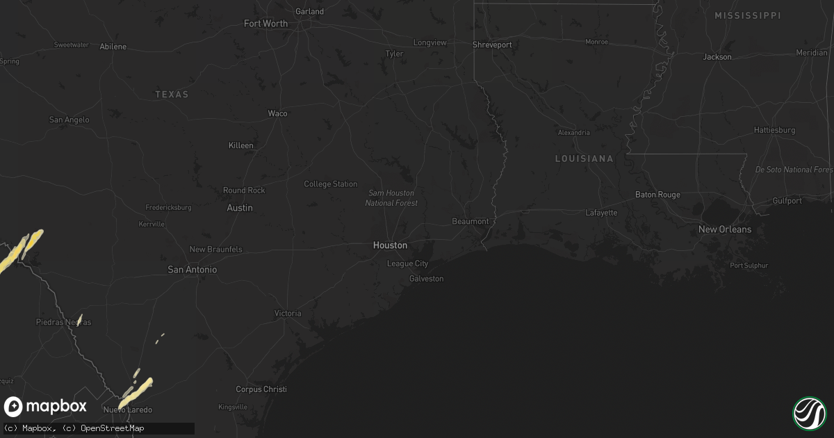
Hail Map in South Carolina on May 9, 2012
Get this storm
May 9 map
$229
one time, instant access
Download today. No call, no setup
Keep the $229
Bought the map and want the full workflow? Apply the entire $229 to a subscription within 7 days. None of it is wasted.
Every map, not just this one
This buys you this map. Subscription and you get every map we run, in the markets you choose from a few cities to whole states to nationwide. Plus real-time alerts the moment a storm fires.
Contact data
Name, contact info, occupancy, even credit band for addresses in the footprint. You go from where it hit to who to call.
Become the source they trust
Unlimited branding weather history reports on demand. You already have the documented answer ready for the property owner, and you are the one who showed up with it.
Property data and RoofTrace estimates
Pull up any address you have got, its value and the exact code rules for that jurisdiction, straight from One Click Code. Then RoofTrace estimates the squares, pitch, and roof value, priced the way you price.
Storm reports in South Carolina
South Carolina
| Date | Description |
|---|---|
| 05/09/20122:47 PM CDT | Law enforcement reported one tree down along bennetts point road. |
| 05/09/20122:45 PM CDT | Tree down on north aylesbury road. Time estimated based on radar data. |
| 05/09/20122:40 PM CDT | 3 trees down in moncks corner. |
| 05/09/20122:38 PM CDT | 1 tree down at laurel bay road and stanley farm road. Time estimated from radar. |
| 05/09/20122:33 PM CDT | Law enforcement reported a tree down on lincolnville road. |
| 05/09/20122:25 PM CDT | Law enforcement reported one tree down on big estate road. |
| 05/09/20122:25 PM CDT | 2 trees down in cross. |
| 05/09/20122:02 PM CDT | Trees down and quarter size hail on william brunson rd. |
| 05/09/20121:27 PM CDT | 1 tree down on lowcountry highway at community ave. |
| 05/09/20121:04 PM CDT | 1 tree down on broxton bridge hwy at bachman rd. |
| 05/09/201211:30 AM CDT | Emergency manager reported several trees down in the nicholson village area east of aiken. A tin roof was also taken off a building and underpinning of some mobile home |
All States Impacted by Hail Map on May 9, 2012
Cities Impacted by Hail Map on May 9, 2012
- Laredo, TX
- Harlingen, TX
- Lyford, TX
- Cotulla, TX
- Early Branch, SC
- Del Rio, TX
- Eagle Pass, TX
- Lake Park, GA
- Hahira, GA
- Moody Afb, GA
- Valdosta, GA
- Naylor, GA
- Lakeland, GA
- Edcouch, TX
- Santa Rosa, TX
- Encinal, TX
- Marathon, TX
- Ridgeland, SC
- Key Biscayne, FL
- Miami, FL
- Miami Beach, FL
- Edinburg, TX
- Hargill, TX
- Comstock, TX
- Sheldon, SC
- Seabrook, SC
- Fernandina Beach, FL
- Hialeah, FL
- Eglin Afb, FL
- Monticello, FL
- San Simon, AZ
- Rodeo, NM
- Rio Rico, AZ
- Bluffton, SC
- Alma, GA
- Fairfax, SC
- La Villa, TX
- Swainsboro, GA
- Adrian, GA
- Lamont, FL
- Estill, SC
- Yemassee, SC
- Chadbourn, NC
- Allendale, SC
- Douglas, GA
- Rincon, GA
- Daufuskie Island, SC
- Bisbee, AZ
- Statesboro, GA
- Cottageville, SC
- Ridgeville, SC
- Dorchester, SC
- Holt, FL
- Fort Stockton, TX
- Greenville, FL
- Perry, FL
- Aiken, SC
- Armstrong, TX
- Brunson, SC
- Elsa, TX
- Baxley, GA
- Whiteville, NC
- Summerton, SC
- Tubac, AZ
- Ray City, GA
- Hardeeville, SC
- Ozona, TX
- Bainbridge, GA
- Varnville, SC
- Glenwood, GA
- Summerville, SC
- Ravenel, SC
- Bennettsville, SC
- Hilton Head Island, SC
- Okatie, SC
- Quemado, TX
- Germanton, NC
- Millen, GA
- Rocky Ford, GA
- Luray, SC
- Moultrie, GA
- Douglas, AZ
- Beaufort, SC
- Edisto Island, SC
- Adams Run, SC
- Ulmer, SC


