Hail Map in Arizona on May 9, 2012
Get this storm
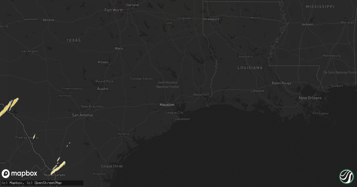
May 9 map
$229
one time, instant access
Download today. No call, no setup
Keep the $229
Bought the map and want the full workflow? Apply the entire $229 to a subscription within 7 days. None of it is wasted.
Every map, not just this one
This buys you this map. Subscription and you get every map we run, in the markets you choose from a few cities to whole states to nationwide. Plus real-time alerts the moment a storm fires.
Contact data
Name, contact info, occupancy, even credit band for addresses in the footprint. You go from where it hit to who to call.
Become the source they trust
Unlimited branding weather history reports on demand. You already have the documented answer ready for the property owner, and you are the one who showed up with it.
Property data and RoofTrace estimates
Pull up any address you have got, its value and the exact code rules for that jurisdiction, straight from One Click Code. Then RoofTrace estimates the squares, pitch, and roof value, priced the way you price.
Storm reports in Arizona
Arizona
| Date | Description |
|---|---|
| 05/09/20126:38 PM CDT | Small trees and large limbs down over roadway. Ray and cooper. |
| 05/09/20126:35 PM CDT | Mobile homes off foundations. Power lines down. Germain and ironwood. |
| 05/08/20128:15 PM CDT | Tree downed that blocked traffic on pima rd and highway 85. Construction debris from interstate 8 and bypass 85 route strewn around. Most of the town of gila bend witho |
| 05/08/20127:10 PM CDT | A local report indicates 58 MPH wind near 4 N MARICOPA |
| 05/08/20127:00 PM CDT | A local report indicates 58 MPH wind near 4 N MARICOPA |
All States Impacted by Hail Map on May 9, 2012
Cities Impacted by Hail Map on May 9, 2012
- Laredo, TX
- Harlingen, TX
- Lyford, TX
- Cotulla, TX
- Early Branch, SC
- Del Rio, TX
- Eagle Pass, TX
- Lake Park, GA
- Hahira, GA
- Moody Afb, GA
- Valdosta, GA
- Naylor, GA
- Lakeland, GA
- Edcouch, TX
- Santa Rosa, TX
- Encinal, TX
- Marathon, TX
- Ridgeland, SC
- Key Biscayne, FL
- Miami, FL
- Miami Beach, FL
- Edinburg, TX
- Hargill, TX
- Comstock, TX
- Sheldon, SC
- Seabrook, SC
- Fernandina Beach, FL
- Hialeah, FL
- Eglin Afb, FL
- Monticello, FL
- San Simon, AZ
- Rodeo, NM
- Rio Rico, AZ
- Bluffton, SC
- Alma, GA
- Fairfax, SC
- La Villa, TX
- Swainsboro, GA
- Adrian, GA
- Lamont, FL
- Estill, SC
- Yemassee, SC
- Chadbourn, NC
- Allendale, SC
- Douglas, GA
- Rincon, GA
- Daufuskie Island, SC
- Bisbee, AZ
- Statesboro, GA
- Cottageville, SC
- Ridgeville, SC
- Dorchester, SC
- Holt, FL
- Fort Stockton, TX
- Greenville, FL
- Perry, FL
- Aiken, SC
- Armstrong, TX
- Brunson, SC
- Elsa, TX
- Baxley, GA
- Whiteville, NC
- Summerton, SC
- Tubac, AZ
- Ray City, GA
- Hardeeville, SC
- Ozona, TX
- Bainbridge, GA
- Varnville, SC
- Glenwood, GA
- Summerville, SC
- Ravenel, SC
- Bennettsville, SC
- Hilton Head Island, SC
- Okatie, SC
- Quemado, TX
- Germanton, NC
- Millen, GA
- Rocky Ford, GA
- Luray, SC
- Moultrie, GA
- Douglas, AZ
- Beaufort, SC
- Edisto Island, SC
- Adams Run, SC
- Ulmer, SC


