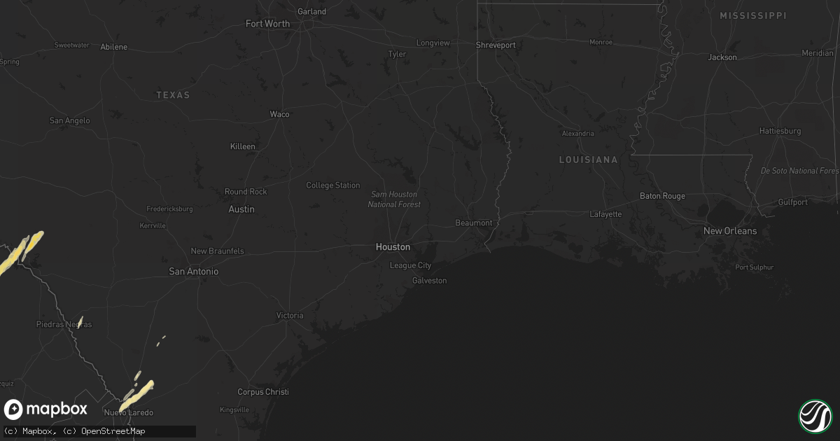
Hail Map in North Carolina on May 9, 2012
Get this storm
May 9 map
$229
one time, instant access
Download today. No call, no setup
Keep the $229
Bought the map and want the full workflow? Apply the entire $229 to a subscription within 7 days. None of it is wasted.
Every map, not just this one
This buys you this map. Subscription and you get every map we run, in the markets you choose from a few cities to whole states to nationwide. Plus real-time alerts the moment a storm fires.
Contact data
Name, contact info, occupancy, even credit band for addresses in the footprint. You go from where it hit to who to call.
Become the source they trust
Unlimited branding weather history reports on demand. You already have the documented answer ready for the property owner, and you are the one who showed up with it.
Property data and RoofTrace estimates
Pull up any address you have got, its value and the exact code rules for that jurisdiction, straight from One Click Code. Then RoofTrace estimates the squares, pitch, and roof value, priced the way you price.
Storm reports in North Carolina
North Carolina
| Date | Description |
|---|---|
| 05/09/20124:55 PM CDT | Two trees down. |
| 05/09/20124:25 PM CDT | Four trees were blown down around clinton between 525 pm and 537 pm edt. |
| 05/09/20124:00 PM CDT | Two trees down. |
| 05/09/20123:42 PM CDT | Tree in the road near timber drive and highway 50 |
| 05/09/20123:35 PM CDT | Sever small trees and branches were blown down or snapped on the eagle ridge golf course. A vending mahcine and patio furniture was also blown over. |
| 05/09/20123:23 PM CDT | Tree on house at 1119 ralph drive. |
| 05/09/20123:15 PM CDT | Tree down near old oxford road and red mill road |
| 05/09/20123:14 PM CDT | Large oak tree in the road at jenks carpenter and fryar creek roads. |
| 05/09/20123:10 PM CDT | Tree down in the 100 block of west knox street |
| 05/09/20123:08 PM CDT | 3 trees down near high gate drive and hurdle court |
| 05/09/20123:04 PM CDT | Tree reported down on wootens store rd. |
| 05/09/20123:03 PM CDT | Tree reported down on bill hooks rd. |
| 05/09/20123:00 PM CDT | One 4 inch diameter tree snapped in half and partially blocking manning drive in chapel hill. |
| 05/09/20123:00 PM CDT | Tree reported down across chadbourn hwy near peacock rd. |
| 05/09/20122:57 PM CDT | Several trees down in chapel hill |
| 05/09/20122:47 PM CDT | One tree across the road near the intersection of orange grove road and dairyland road |
| 05/09/20122:43 PM CDT | One tree down near the intersection of vernon road and oak grove church road |
| 05/09/20122:14 PM CDT | Tree down on power line near liberty grove road and richland church road |
| 05/09/20122:09 PM CDT | Few trees down near the intersection of us highway 421 and old liberty road |
| 05/09/20122:03 PM CDT | Few trees down near the intersection of new salem road and bethel church road |
All States Impacted by Hail Map on May 9, 2012
Cities Impacted by Hail Map on May 9, 2012
- Laredo, TX
- Harlingen, TX
- Lyford, TX
- Cotulla, TX
- Early Branch, SC
- Del Rio, TX
- Eagle Pass, TX
- Lake Park, GA
- Hahira, GA
- Moody Afb, GA
- Valdosta, GA
- Naylor, GA
- Lakeland, GA
- Edcouch, TX
- Santa Rosa, TX
- Encinal, TX
- Marathon, TX
- Ridgeland, SC
- Key Biscayne, FL
- Miami, FL
- Miami Beach, FL
- Edinburg, TX
- Hargill, TX
- Comstock, TX
- Sheldon, SC
- Seabrook, SC
- Fernandina Beach, FL
- Hialeah, FL
- Eglin Afb, FL
- Monticello, FL
- San Simon, AZ
- Rodeo, NM
- Rio Rico, AZ
- Bluffton, SC
- Alma, GA
- Fairfax, SC
- La Villa, TX
- Swainsboro, GA
- Adrian, GA
- Lamont, FL
- Estill, SC
- Yemassee, SC
- Chadbourn, NC
- Allendale, SC
- Douglas, GA
- Rincon, GA
- Daufuskie Island, SC
- Bisbee, AZ
- Statesboro, GA
- Cottageville, SC
- Ridgeville, SC
- Dorchester, SC
- Holt, FL
- Fort Stockton, TX
- Greenville, FL
- Perry, FL
- Aiken, SC
- Armstrong, TX
- Brunson, SC
- Elsa, TX
- Baxley, GA
- Whiteville, NC
- Summerton, SC
- Tubac, AZ
- Ray City, GA
- Hardeeville, SC
- Ozona, TX
- Bainbridge, GA
- Varnville, SC
- Glenwood, GA
- Summerville, SC
- Ravenel, SC
- Bennettsville, SC
- Hilton Head Island, SC
- Okatie, SC
- Quemado, TX
- Germanton, NC
- Millen, GA
- Rocky Ford, GA
- Luray, SC
- Moultrie, GA
- Douglas, AZ
- Beaufort, SC
- Edisto Island, SC
- Adams Run, SC
- Ulmer, SC


