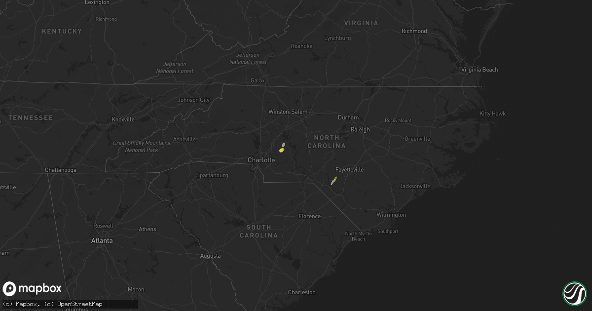
Hail Map in North Carolina on April 24, 2018
Get this storm
April 24 map
$229
one time, instant access
Download today. No call, no setup
Keep the $229
Bought the map and want the full workflow? Apply the entire $229 to a subscription within 7 days. None of it is wasted.
Every map, not just this one
This buys you this map. Subscription and you get every map we run, in the markets you choose from a few cities to whole states to nationwide. Plus real-time alerts the moment a storm fires.
Contact data
Name, contact info, occupancy, even credit band for addresses in the footprint. You go from where it hit to who to call.
Become the source they trust
Unlimited branding weather history reports on demand. You already have the documented answer ready for the property owner, and you are the one who showed up with it.
Property data and RoofTrace estimates
Pull up any address you have got, its value and the exact code rules for that jurisdiction, straight from One Click Code. Then RoofTrace estimates the squares, pitch, and roof value, priced the way you price.
Storm reports in North Carolina
North Carolina
| Date | Description |
|---|---|
| 04/24/20186:00 PM CDT | Emergency manager reports several trees down. |
| 04/24/20184:38 PM CDT | 2 trees downed and powerlines down by storm wind on hudspeth road which is just out from charlotte motor speedway. At least one of the trees described as 3 feet in diam |
| 04/24/20184:38 PM CDT | A bradford pear tree split not far from charlotte motor speedway. |
| 04/24/20182:59 PM CDT | Quarter-sized hail reported on hall road. |
| 04/24/20182:50 PM CDT | Tree down mcqueen st near s. Duffy road. |
| 04/24/20181:37 AM CDT | At 635 PM EDT, a severe thunderstorm was located over Mt Pleasant, or 9 miles east of Downtown Concord, moving east at 25 mph. HAZARD...60 mph wind gusts and quarter size hail. SOURCE...Trained weather spotters. IMPACT...Hail damage to vehicles is expected. Expect wind damage to roofs, siding, and trees. Locations impacted include... Albemarle, Badin Lake, Plyler, Badin, Richfield, New London, Morrow Mountain State Park, Finger and Lake Tillery. |
| 04/23/201811:26 PM CDT | At 426 PM EDT, a severe thunderstorm was located near Raeford, moving northeast at 20 mph. HAZARD...60 mph wind gusts and quarter size hail. SOURCE...Radar indicated. IMPACT...Hail damage to vehicles is possible. Expect wind damage to roofs, siding, and trees. Locations impacted include... Fayetteville, Raeford, Fort Bragg, Antioch, Pope AFB, Silver City, Rockfish and Bowmore. |
| 04/23/201810:25 PM CDT | At 324 PM EDT, a severe thunderstorm was located over Wakulla, or near Red Springs, moving northeast at 15 mph. HAZARD...60 mph wind gusts and quarter size hail. SOURCE...Radar indicated. IMPACT...Hail damage to vehicles is possible. Expect wind damage to roofs, siding, and trees. Locations impacted include... Raeford, Antioch, Hope Mills, Silver City, Rockfish and Bowmore. |
All States Impacted by Hail Map on April 24, 2018
Cities Impacted by Hail Map on April 24, 2018
- Hobe Sound, FL
- Jupiter, FL
- Westbrook, TX
- Coahoma, TX
- Bronte, TX
- Palm Beach Gardens, FL
- Idalou, TX
- Lubbock, TX
- Miles, TX
- Roscoe, TX
- Mount Pleasant, NC
- Albemarle, NC
- Port Saint Lucie, FL
- Okeechobee, FL
- Ovalo, TX
- Stuart, FL
- Indiantown, FL
- Slaton, TX
- Lorenzo, TX
- Loxahatchee, FL
- West Palm Beach, FL
- Post, TX
- Palm Beach, FL
- Lake Worth, FL
- Colorado City, TX
- Coleman, TX
- Talpa, TX
- Nolan, TX
- Loraine, TX
- Gold Hill, NC
- Roby, TX
- Rotan, TX
- Maxton, NC
- Red Springs, NC
- Shannon, NC
- Richfield, NC


