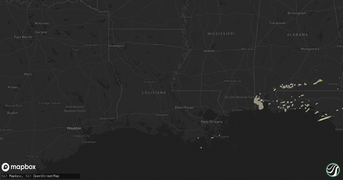
Hail Map in Louisiana on March 24, 2016
Get this storm
March 24 map
$229
one time, instant access
Download today. No call, no setup
Keep the $229
Bought the map and want the full workflow? Apply the entire $229 to a subscription within 7 days. None of it is wasted.
Every map, not just this one
This buys you this map. Subscription and you get every map we run, in the markets you choose from a few cities to whole states to nationwide. Plus real-time alerts the moment a storm fires.
Contact data
Name, contact info, occupancy, even credit band for addresses in the footprint. You go from where it hit to who to call.
Become the source they trust
Unlimited branding weather history reports on demand. You already have the documented answer ready for the property owner, and you are the one who showed up with it.
Property data and RoofTrace estimates
Pull up any address you have got, its value and the exact code rules for that jurisdiction, straight from One Click Code. Then RoofTrace estimates the squares, pitch, and roof value, priced the way you price.
Storm reports in Louisiana
Louisiana
| Date | Description |
|---|---|
| 03/24/20167:47 AM CDT | Damage reported to two homes on taylor street |
| 03/24/20167:45 AM CDT | An ef1 tornado lifted the roof off a house and it landed on three neighboring houses and vehicles to the east. Although people were home at the time...no injuries were |
| 03/24/20167:28 AM CDT | Public posted photo of tree that fell into a house. Time estimated from radar. |
| 03/24/20167:28 AM CDT | Nws storm survey found sporadic straight line wind damage in gillis in a neighborhood just east of hwy 171 off of topsy rd. A few 3-4 inch diameter tree brances were sn |
| 03/24/20167:28 AM CDT | Nws storm survey found sporadic straight line wind damage just east of ragley along lonnie cole road. A large tree branch fell on a mobile home at 144 lonnie cole rd ca |
All States Impacted by Hail Map on March 24, 2016
Cities Impacted by Hail Map on March 24, 2016
- Niceville, FL
- Okeechobee, FL
- Inlet Beach, FL
- Panama City Beach, FL
- Panama City, FL
- Interlachen, FL
- Hawthorne, FL
- Eglin Afb, FL
- Pensacola, FL
- Brewton, AL
- Cantonment, FL
- Umatilla, FL
- Leesburg, FL
- Miramar Beach, FL
- Titusville, FL
- Pomona Park, FL
- Perdido, AL
- Milton, FL
- Elberta, AL
- Robertsdale, AL
- Lady Lake, FL
- Weirsdale, FL
- Grand Island, FL
- Altoona, FL
- Astor, FL
- Mobile, AL
- Flomaton, AL
- Eight Mile, AL
- Blountstown, FL
- Castleberry, AL
- Wilmer, AL
- Navarre, FL
- Destin, FL
- Bagdad, FL
- Cottonwood, AL
- Chunchula, AL
- Baker, FL
- Clarksville, FL
- Crestview, FL
- Laurel Hill, FL
- Lynn Haven, FL
- Fort Walton Beach, FL
- Mary Esther, FL
- Hurlburt Field, FL
- Lillian, AL
- Fairhope, AL
- Daphne, AL
- Andalusia, AL
- Port Sulphur, LA
- Defuniak Springs, FL
- Vero Beach, FL
- Holt, FL
- Fort McCoy, FL
- Montegut, LA
- Chauvin, LA
- Loxley, AL
- Elba, AL
- Samson, AL
- Enterprise, AL
- Kinston, AL
- New Brockton, AL
- Newberry, FL
- Alachua, FL
- Bayou La Batre, AL
- Semmes, AL
- Coden, AL
- Grand Bay, AL
- Moss Point, MS
- Lucedale, MS
- Irvington, AL
- Theodore, AL
- Freeport, FL
- Atmore, AL
- Golden Meadow, LA
- Gulf Breeze, FL
- Columbia, AL
- Troy, AL
- Fellsmere, FL
- Palm Bay, FL


