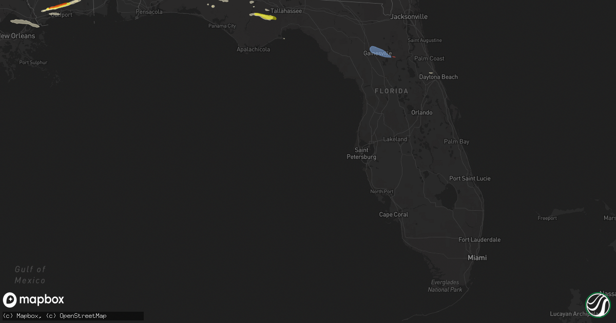
Hail Map in Florida on March 12, 2023
Get this storm
March 12 map
$229
one time, instant access
Download today. No call, no setup
Keep the $229
Bought the map and want the full workflow? Apply the entire $229 to a subscription within 7 days. None of it is wasted.
Every map, not just this one
This buys you this map. Subscription and you get every map we run, in the markets you choose from a few cities to whole states to nationwide. Plus real-time alerts the moment a storm fires.
Contact data
Name, contact info, occupancy, even credit band for addresses in the footprint. You go from where it hit to who to call.
Become the source they trust
Unlimited branding weather history reports on demand. You already have the documented answer ready for the property owner, and you are the one who showed up with it.
Property data and RoofTrace estimates
Pull up any address you have got, its value and the exact code rules for that jurisdiction, straight from One Click Code. Then RoofTrace estimates the squares, pitch, and roof value, priced the way you price.
Storm reports in Florida
Florida
| Date | Description |
|---|---|
| 03/12/20234:30 PM CDT | Wakulla co 911 reports a tree fell onto a power line near iroquois rd. |
| 03/12/20233:32 PM CDT | Multiple reports of nickel to quarter-sized hail in hosford. Hail was falling for about 4 minutes. |
| 03/12/20233:05 PM CDT | Jefferson co 911 reports a tree fell onto a power line on lake rd near simpson rd. |
| 03/12/20231:09 PM CDT | Several trees and powerlines down near the intersection of gilberts mill road and kent road. Time estimated by radar. |
| 03/12/202312:20 PM CDT | Trees down on highway 162 west of old us road. Time estimated by radar. |
| 03/12/20231:20 AM CST | Em received a report from the alachua county sheriffs office saying trees were knocked down along se 57th ave. Also... A trampoline was blown into the neighbors yard. T |
| 03/12/202312:49 AM CST | Asos station kgnv gainesville. |
| 03/11/20236:30 PM CST | Lafayette co 911 reports a tree on a power line on e us 27 near county road 412. |
All States Impacted by Hail Map on March 12, 2023
Cities Impacted by Hail Map on March 12, 2023
- Union Church, MS
- Port Gibson, MS
- Hermanville, MS
- Pattison, MS
- Lorman, MS
- Waterproof, LA
- McCall Creek, MS
- Brookhaven, MS
- Fayette, MS
- Saint Joseph, LA
- Natchez, MS
- Meadville, MS
- Wesson, MS
- Baxley, GA
- Alma, GA
- Surrency, GA
- Odum, GA
- Hosford, FL
- Sopchoppy, FL
- Tallahassee, FL
- Telogia, FL
- Bristol, FL
- Ponce De Leon, FL
- Raleigh, MS
- Vernon, FL
- Chipley, FL
- Florence, MS
- Terry, MS
- Mize, MS
- Braxton, MS
- Caryville, FL
- Hahira, GA
- Barney, GA
- Morven, GA
- Crystal Springs, MS
- Grand Ridge, FL
- Dos Palos, CA
- Firebaugh, CA
- Madera, CA
- Taylorsville, MS
- Bay Springs, MS
- Louin, MS
- Pachuta, MS
- Quitman, MS
- Shubuta, MS
- Kerman, CA
- Fresno, CA
- Biola, CA
- Selma, CA
- Fowler, CA
- Kingsburg, CA
- Dinuba, CA
- Kiln, MS
- Pass Christian, MS
- Gulfport, MS
- Saucier, MS
- Traver, CA
- Chowchilla, CA
- Bonifay, FL
- Gilbertown, AL
- Needham, AL
- Harrisville, MS
- Pinola, MS
- Georgetown, MS
- Melvin, AL
- Altha, FL
- Magee, MS
- Toxey, AL
- Lacombe, LA
- Laurel, MS
- Paulding, MS
- Vossburg, MS
- Quincy, FL
- Bell City, LA
- Cameron, LA
- Lacassine, LA
- New Orleans, LA
- Slidell, LA
- Biloxi, MS
- Diamondhead, MS
- Long Beach, MS
- Vancleave, MS
- Panacea, FL
- Holt, FL
- Alachua, FL
- Gainesville, FL
- Hawthorne, FL
- Ormond Beach, FL


