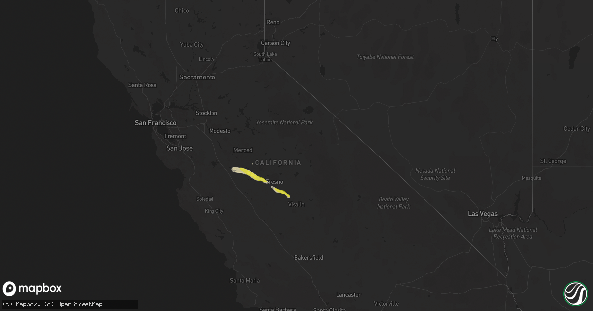
Hail Map in California on March 12, 2023
Get this storm
March 12 map
$229
one time, instant access
Download today. No call, no setup
Keep the $229
Bought the map and want the full workflow? Apply the entire $229 to a subscription within 7 days. None of it is wasted.
Every map, not just this one
This buys you this map. Subscription and you get every map we run, in the markets you choose from a few cities to whole states to nationwide. Plus real-time alerts the moment a storm fires.
Contact data
Name, contact info, occupancy, even credit band for addresses in the footprint. You go from where it hit to who to call.
Become the source they trust
Unlimited branding weather history reports on demand. You already have the documented answer ready for the property owner, and you are the one who showed up with it.
Property data and RoofTrace estimates
Pull up any address you have got, its value and the exact code rules for that jurisdiction, straight from One Click Code. Then RoofTrace estimates the squares, pitch, and roof value, priced the way you price.
Storm reports in California
California
| Date | Description |
|---|---|
| 03/12/20236:55 PM CDT | Nws employee reports inch-sized hail east of firebaugh. |
| 03/11/20239:57 PM CST | Chp reports power pole broken in half and power lines on roadway on s fowler ave north of e kamm ave. |
| 03/11/20239:31 PM CST | Chp reports 30 foot tree in roadway on e saginaw ave west of temperance. |
| 03/11/20238:58 PM CST | Chp reports flooding on avenue 360. |
| 03/11/20238:55 PM CST | Chp reports flooding on highland ave at e dinuba ave. |
| 03/11/20238:22 PM CST | Chp reports tree and power lines caught on fire at s clovis ave north of e floral ave. |
| 03/11/20238:16 PM CST | Chp reports tree and power lines down on s fowler ave at e mountain view ave. |
| 03/11/20238:15 PM CST | Chp reports power pole and lines down on s chestnut ave at e dinuba ave. |
| 03/11/20238:14 PM CST | Chp reports tree crashed into house on s orange ave north of e dinuba ave. |
| 03/11/20238:11 PM CST | Chp reports tree damaged car on e nebraska ave at s clovis ave. |
| 03/11/20238:08 PM CST | Chp reports tree down on w saginaw ave west of elm. |
| 03/11/20238:04 PM CST | Chp reports tree down on e adams at s maple. Thunderstorm wind. |
| 03/11/20238:01 PM CST | Corrects previous tstm wnd dmg report from 6 sw fowler. Chp reports downed power lines e nebraska ave at s chestnut ave. |
All States Impacted by Hail Map on March 12, 2023
Cities Impacted by Hail Map on March 12, 2023
- Union Church, MS
- Port Gibson, MS
- Hermanville, MS
- Pattison, MS
- Lorman, MS
- Waterproof, LA
- McCall Creek, MS
- Brookhaven, MS
- Fayette, MS
- Saint Joseph, LA
- Natchez, MS
- Meadville, MS
- Wesson, MS
- Baxley, GA
- Alma, GA
- Surrency, GA
- Odum, GA
- Hosford, FL
- Sopchoppy, FL
- Tallahassee, FL
- Telogia, FL
- Bristol, FL
- Ponce De Leon, FL
- Raleigh, MS
- Vernon, FL
- Chipley, FL
- Florence, MS
- Terry, MS
- Mize, MS
- Braxton, MS
- Caryville, FL
- Hahira, GA
- Barney, GA
- Morven, GA
- Crystal Springs, MS
- Grand Ridge, FL
- Dos Palos, CA
- Firebaugh, CA
- Madera, CA
- Taylorsville, MS
- Bay Springs, MS
- Louin, MS
- Pachuta, MS
- Quitman, MS
- Shubuta, MS
- Kerman, CA
- Fresno, CA
- Biola, CA
- Selma, CA
- Fowler, CA
- Kingsburg, CA
- Dinuba, CA
- Kiln, MS
- Pass Christian, MS
- Gulfport, MS
- Saucier, MS
- Traver, CA
- Chowchilla, CA
- Bonifay, FL
- Gilbertown, AL
- Needham, AL
- Harrisville, MS
- Pinola, MS
- Georgetown, MS
- Melvin, AL
- Altha, FL
- Magee, MS
- Toxey, AL
- Lacombe, LA
- Laurel, MS
- Paulding, MS
- Vossburg, MS
- Quincy, FL
- Bell City, LA
- Cameron, LA
- Lacassine, LA
- New Orleans, LA
- Slidell, LA
- Biloxi, MS
- Diamondhead, MS
- Long Beach, MS
- Vancleave, MS
- Panacea, FL
- Holt, FL
- Alachua, FL
- Gainesville, FL
- Hawthorne, FL
- Ormond Beach, FL


