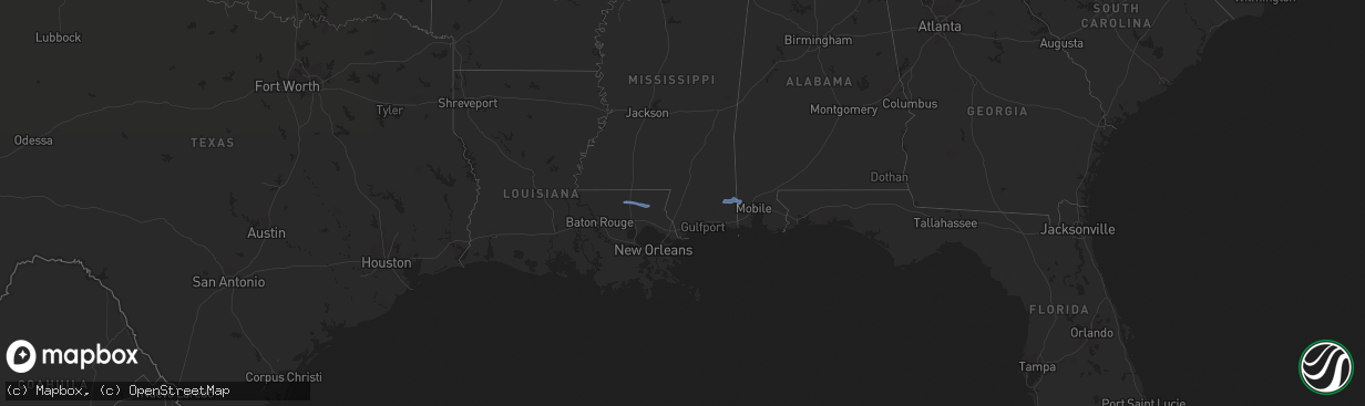
Hail Map in Mississippi on December 30, 2022
The weather event in Mississippi on December 30, 2022 includes Hail and Wind maps. 3 states and 9 cities were impacted and suffered possible damage. The total estimated number of properties impacted is 0.
Want more than just the map?
Turn this storm into a full workflow.
- Owner + property data so you know who to knock
- OnDemand branded weather history reports to win the "did we even have hail?" argument
- RoofTrace estimate so reps stop guessing numbers at the door
Bought this map? Upgrade within 7 days and we'll credit the $230. (10-15 min setup call)
Hail
Wind
0
Estimated number of impacted properties by a 1.00" hail or larger0
Estimated number of impacted properties by a 1.75" hail or larger0
Estimated number of impacted properties by a 2.50" hail or largerStorm reports in Mississippi
Mississippi
| Date | Description |
|---|---|
| 12/30/202211:02 AM CST | George county emergency management reports power lines down at the intersection of walt tanner rd and will howell rd in the howell community. Time estimated from radar. |
| 12/30/202210:47 AM CST | George county emergency management reports trees down on harmon pope rd. Time estimated from radar. |
| 12/30/202210:43 AM CST | George county emergency management reports a tree down on loblolly rd. |
| 12/30/20226:55 AM CST | Trees down in yards and blocking roads. Greenhouse destroyed on allbritton trail near montgomery road. |
| 12/30/20226:50 AM CST | Multiple trees downed near home. |
| 12/30/20226:50 AM CST | Tree downed across i-55 exit 24. |
| 12/30/20226:40 AM CST | Oak tree downed on mobile home. |
| 12/30/20225:29 AM CST | At 1128 AM CST, severe thunderstorms were located along a line extending from 4 miles east of Deer Park to Prichard to Grand Bay, moving east at 50 mph. HAZARD...60 mph wind gusts. SOURCE...Radar indicated. IMPACT...Expect damage to roofs, siding, and trees. Locations impacted include... Midtown Mobile, Downtown Mobile, Prichard, Daphne, Tillmans Corner, Fairhope, Saraland, Bay Minette, Theodore, Chickasaw, Satsuma, Spanish Fort, Grand Bay, Robertsdale, Citronelle, Creola, Loxley, Chunchula, Stockton and McCullough. |
| 12/30/20224:35 AM CST | At 1035 AM CST, severe thunderstorms were located along a line extending from 6 miles southwest of Leakesville to 7 miles northwest of Wade to 5 miles east of Gulf Hills, moving east at 40 mph. HAZARD...60 mph wind gusts. SOURCE...Radar indicated. IMPACT...Expect damage to roofs, siding, and trees. Locations impacted include... Midtown Mobile, Downtown Mobile, Prichard, Tillmans Corner, Saraland, Theodore, Chickasaw, Satsuma, Grand Bay, Citronelle, Lucedale, Bayou La Batre, Creola, Chunchula, Gulfcrest, Axis, Mount Vernon, Tanner Williams, Semmes and Wilmer. |
| 12/30/20224:01 AM CST | At 1001 AM CST, severe thunderstorms were located along a line extending from 7 miles south of Beaumont to 11 miles northeast of Wiggins to 9 miles east of Saucier to 4 miles southwest of Lyman, moving east at 35 mph. HAZARD...60 mph wind gusts. SOURCE...Radar indicated. IMPACT...Expect damage to roofs, siding, and trees. Locations impacted include... Lucedale and McLain. |
| 12/30/20223:21 AM CST | At 921 AM CST, a severe thunderstorm was located over Kiln, or near Diamondhead, moving southeast at 35 mph. HAZARD...60 mph wind gusts. SOURCE...Radar indicated. IMPACT...Expect damage to roofs, siding, and trees. Locations impacted include... Gulfport, Long Beach, Bay St. Louis, Waveland, Diamondhead, Kiln and Shoreline Park.This includes Interstate 10 in Mississippi between mile markers 2 and29. |
| 12/30/20222:16 AM CST | At 815 AM CST, a severe thunderstorm was located over Madisonville, or near Covington, moving east at 30 mph. HAZARD...60 mph wind gusts. SOURCE...Radar indicated. IMPACT...Expect damage to roofs, siding, and trees. Locations impacted include... Slidell, Covington, Pearl River, Abita Springs, Madisonville, Lacombe and Slidell Airport.This includes the following Interstates... Interstate 10 in Louisiana between mile markers 259 and 270. Interstate 12 between mile markers 53 and 84. Interstate 59 in Louisiana between mile markers 1 and 8. |
| 12/30/20221:42 AM CST | At 742 AM CST, a severe thunderstorm was located 7 miles southeast of Wilmer, or 11 miles southwest of Franklinton, moving east at 35 mph. HAZARD...60 mph wind gusts. SOURCE...Radar indicated. IMPACT...Expect damage to roofs, siding, and trees. Locations impacted include... Bogalusa, Sun and Enon. |
| 12/29/202211:00 PM CST | At 456 AM CST, a severe thunderstorm was located over Dupont, or 7 miles south of Moreauville, moving northeast at 50 mph. HAZARD...60 mph wind gusts and penny size hail. SOURCE...Radar indicated. IMPACT...Expect damage to roofs, siding, and trees. Locations impacted include... St. Francisville, Morganza, Wakefield, Fort Adams, Lettsworth and Batchelor. |


