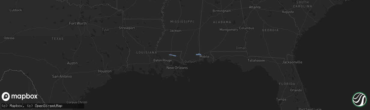
Hail Map in Alabama on December 30, 2022
The weather event in Alabama on December 30, 2022 includes Hail and Wind maps. 3 states and 9 cities were impacted and suffered possible damage. The total estimated number of properties impacted is 0.
Want more than just the map?
Turn this storm into a full workflow.
- Owner + property data so you know who to knock
- OnDemand branded weather history reports to win the "did we even have hail?" argument
- RoofTrace estimate so reps stop guessing numbers at the door
Bought this map? Upgrade within 7 days and we'll credit the $230. (10-15 min setup call)
Hail
Wind
0
Estimated number of impacted properties by a 1.00" hail or larger0
Estimated number of impacted properties by a 1.75" hail or larger0
Estimated number of impacted properties by a 2.50" hail or largerStorm reports in Alabama
Alabama
| Date | Description |
|---|---|
| 12/30/202211:15 AM CST | Broadcast media relayed a report through social media of roof damage to an outbuilding at loblolly farm in semmes. |
| 12/30/20226:06 AM CST | At 1204 PM CST, severe thunderstorms were located along a line extending from 3 miles west of Bay Minette to Daphne to 3 miles northwest of Dauphin Island, moving east at 30 mph. HAZARD...60 mph wind gusts. SOURCE...Radar indicated. IMPACT...Expect damage to roofs, siding, and trees. Locations impacted include... Downtown Mobile, Prichard, Daphne, Fairhope, Saraland, Gulf Shores, Bay Minette, Atmore, Foley, Chickasaw, Satsuma, Orange Beach, Spanish Fort, Robertsdale, Creola, Point Clear, Century, Flomaton, Dauphin Island and Loxley. |
| 12/30/20224:08 AM CST | At 1007 AM CST, a severe thunderstorm was located 12 miles north of Latimer, or 16 miles north of St. Martin, moving east at 45 mph. HAZARD...60 mph wind gusts. SOURCE...Radar indicated. IMPACT...Expect damage to roofs, siding, and trees. Locations impacted include... Gulfport, Biloxi, Ocean Springs, Moss Point, St. Martin, Escatawpa, Gautier, D'iberville, Wade, Latimer, Big Point, Helena, Gulf Hills, Hurley, Vancleave, Gulf Park Estates, Hickory Hills and Gulfport Airport.This includes the following Interstates... Interstate 10 in Mississippi between mile markers 35 and 76. Interstate 110 in Mississippi between mile markers 1 and 4. |


