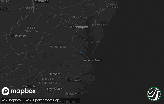
Hail Map in Virginia on December 24, 2020
The weather event in Virginia on December 24, 2020 includes Hail, Wind, and Tornado maps. 4 states and 90 cities were impacted and suffered possible damage. The total estimated number of properties impacted is 0.

Hail
Wind
Tornado
0
Estimated number of impacted properties by a 1.00" hail or larger0
Estimated number of impacted properties by a 1.75" hail or larger0
Estimated number of impacted properties by a 2.50" hail or largerStorm reports in Virginia
Virginia
| Date | Description |
|---|---|
| 12/24/20205:58 AM CST | At 1157 PM EST, severe thunderstorms were located along a line extending from near Blakes to near Hampton University, moving northeast at 55 mph. HAZARD...60 mph wind gusts. SOURCE...Radar indicated. IMPACT...Expect damage to trees and powerlines. Severe thunderstorms will be near, Deltaville, Blakes and Gwynn around 1205 AM EST.Other locations impacted by these severe thunderstorms include Ruff,Beulah, Moon, Laban, Glass, Naxera, Fort Nonsense, Messick, North andSoles. |
| 12/24/20205:30 AM CST | At 1130 PM EST, severe thunderstorms were located along a line extending from near Jamestown to near Isle Of Wight to near Holland, moving northeast at 50 mph. HAZARD...60 mph wind gusts. SOURCE...Radar indicated. IMPACT...Expect damage to trees and powerlines. Severe thunderstorms will be near, Williamsburg, Smithfield, College Of William And Mary, Kings Point, Jamestown and Scotland around 1135 PM EST. Queens Lake, York Terrace, Carver Gardens, Rescue, Busch Gardens and Grove around 1140 PM EST. Fort Eustis and Wicomico around 1145 PM EST. Newport News, Gloucester Courthouse, Patrick Henry Field, Christopher Newport University, Gloucester Point, Northampton, Hayes, Denbigh, Beaconsdale and Crittenden around 1150 PM EST. Hampton, Seaford, Langley AFB, Suffolk and Tabb around 1155 PM EST.Other locations impacted by these severe thunderstorms include Pons,Carrollton, Chippokes State Park, Lackey, Beulah, Longview, CampPeary, Naxera, Oriana and Chuckatuck. |
| 12/23/202011:50 PM CST | Trees downed at indian trail rd and scarboroughs neck rd. |
| 12/23/202011:10 PM CST | Awos station kngu norfolk nas cham. |
| 12/23/202011:10 PM CST | The gilmerton bridge was damaged due to high wind. The bridge was inoperable for several days following the storm. |
| 12/23/202010:50 PM CST | Trees down along manning rd. |
| 12/23/202010:28 PM CST | A nws survey confirmed an ef1 tornado with peak winds estimated between 95 to 100 mph. The tornado caused significant damage to at least 6 homes along dutch road... Wit |
| 12/23/202010:27 PM CST | Trees down near central hill. |
| 12/23/202010:26 PM CST | Report of a barn destroyed along with damage to several buildings and vehicles near dutch rd. |
| 12/23/202010:21 PM CST | Corrects previous tornado report from 1 sw cleopus. A nws survey confirmed an ef1 tornado with peak winds around 90 mph. The tornado caused significant damage to at lea |
| 12/23/202010:19 PM CST | Report of a house damaged and a vehicle overturned along corinth chapel rd. Several trees twisted off. |
| 12/23/202010:01 PM CST | Multiple trees and large branches as well as power lines down from just north of barrow rd to north of rt 58 in southampton... Va. Winds estimated around 70 mph. |
| 12/23/20209:28 PM CST | At 327 PM EST, a severe thunderstorm was located over Wyndham, or near Tuckahoe, moving northeast at 35 mph. HAZARD...60 mph wind gusts. SOURCE...Radar indicated. IMPACT...Expect damage to trees and powerlines. This severe thunderstorm will be near, Randolph Macon College around 340 PM EST. Ashland around 345 PM EST. Kings Dominion and Dawn around 350 PM EST.Other locations impacted by this severe thunderstorm include Gilman,Oliver, Burruss Corner, Gum Tree, Doswell, Elmont and Short Pump. |
Cities Impacted by Hail Map on December 24, 2020
- Clayton, DE
- Townsend, DE
- Marydel, DE
- Marydel, MD
- Milton, DE
- Trappe, MD
- Crocheron, MD
- Secretary, MD
- Ridgely, MD
- Barclay, MD
- Goldsboro, MD
- Cambridge, MD
- Denton, MD
- Rhodesdale, MD
- Ingleside, MD
- Sudlersville, MD
- Lincoln, DE
- Hartly, DE
- Toddville, MD
- Greensboro, MD
- Vienna, MD
- Harrington, DE
- East New Market, MD
- Houston, DE
- Georgetown, DE
- Wingate, MD
- Milford, DE
- Camden Wyoming, DE
- Greenwood, DE
- Church Creek, MD
- Bridgeville, DE
- Easton, MD
- Queen Anne, MD
- Dover, DE
- Felton, DE
- Henderson, MD
- Cordova, MD
- Church Hill, MD
- Hurlock, MD
- Centreville, MD
- Federalsburg, MD
- Smyrna, DE
- Preston, MD
- Viola, DE
- Linkwood, MD
- Ellendale, DE
- Crapo, MD
- Cheswold, DE
- Harbeson, DE
- Woodside, DE
- Stevensville, MD
- Crumpton, MD
- Claiborne, MD
- Hillsboro, MD
- Mcdaniel, MD
- Saint Michaels, MD
- Oxford, MD
- Chester, MD
- Millington, MD
- Royal Oak, MD
- Chestertown, MD
- Wittman, MD
- Sherwood, MD
- Rock Hall, MD
- Worton, MD
- Bozman, MD
- Grasonville, MD
- Queenstown, MD
- Wye Mills, MD
- Neavitt, MD
- Tilghman, MD
- Hampton, FL
- Starke, FL
- Jacksonville, FL
- Chesapeake, VA
- Elberon, VA
- Dendron, VA
- Carrsville, VA
- Zuni, VA
- Portsmouth, VA
- Wakefield, VA
- Carrollton, VA
- Ivor, VA
- Suffolk, VA
- Windsor, VA
- Virginia Beach, VA
- Surry, VA
- Spring Grove, VA
- Norfolk, VA
- Smithfield, VA


