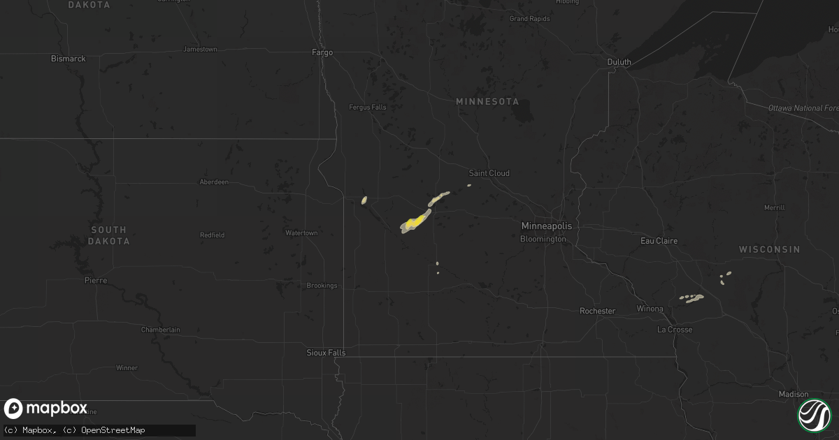
Hail Map on September 30, 2023
Get this storm
September 30 map
$229
one time, instant access
Download today. No call, no setup
Keep the $229
Bought the map and want the full workflow? Apply the entire $229 to a subscription within 7 days. None of it is wasted.
Every map, not just this one
This buys you this map. Subscription and you get every map we run, in the markets you choose from a few cities to whole states to nationwide. Plus real-time alerts the moment a storm fires.
Contact data
Name, contact info, occupancy, even credit band for addresses in the footprint. You go from where it hit to who to call.
Become the source they trust
Unlimited branding weather history reports on demand. You already have the documented answer ready for the property owner, and you are the one who showed up with it.
Property data and RoofTrace estimates
Pull up any address you have got, its value and the exact code rules for that jurisdiction, straight from One Click Code. Then RoofTrace estimates the squares, pitch, and roof value, priced the way you price.
States Impacted by Hail Map on September 30, 2023
Storm reports
Texas
| Date | Description |
|---|---|
| 09/29/202310:21 PM CDT | Mesonet station 60 pine springs gmnp. |
| 09/29/20238:09 PM CDT | Corrects previous tstm wnd gst report from 2 e fort bliss. Downburst wind gust measured at kelp. A moderate number of power outages followed these stronger gusts. |
Utah
| Date | Description |
|---|---|
| 09/30/20236:00 PM CDT | Mesonet station dpg03 v-grid. |
| 09/29/20239:00 PM CDT | Mesonet station dpg17 interstate 80. |
| 09/29/20239:00 PM CDT | Mesonet station lgcut logan campbell hdq. |
| 09/29/20238:57 PM CDT | Asos station klgu logan-cache airport. |
| 09/29/20238:04 PM CDT | Mesonet station wrru1 white reef. |
Minnesota
| Date | Description |
|---|---|
| 09/29/20239:50 PM CDT | A few large trees uprooted. Time estimated via radar. |
Colorado
| Date | Description |
|---|---|
| 09/30/20233:59 AM CDT | Klhx recorded a 65 mph wind gust on 09/30/23 between 4-5 pm mdt from outflow winds. |
| 09/30/20233:53 AM CDT | Asos station klaa lamar airport. Convective rain showers producing strong winds. |
New Mexico
| Date | Description |
|---|---|
| 09/30/202312:19 AM CDT | Asos station ktcc tucumcari muni airport. |
| 09/29/202311:52 PM CDT | Asos station krow roswell air center. |
Cities Impacted by Hail Map on September 30, 2023
- Pittsville, WI
- Sparta, WI
- Black River Falls, WI
- Ettrick, WI
- Agenda, KS
- Haddam, KS
- Cuba, KS
- Melrose, WI
- Raton, NM
- Morton, MN
- Santa Fe, NM
- Morgan, MN
- Glencoe, NM
- Hondo, NM
- Capitan, NM
- Roswell, NM
- Clara City, MN
- Maynard, MN
- Raymond, MN
- El Paso, TX
- Fort Bliss, TX
- Tinnie, NM
- San Patricio, NM
- Fort Hancock, TX
- Estancia, NM
- Willmar, MN
- Pennock, MN
- Montevideo, MN
- Appleton, MN
- Correll, MN
- Spicer, MN
- Otis, CO
- Wendover, UT
- Smithfield, UT
- Logan, UT
- Lake Arthur, NM
- Artesia, NM
- Dexter, NM
- Hagerman, NM
- Conchas Dam, NM
- Solano, NM
- New London, MN
- Cloudcroft, NM
- Ribera, NM
- Anton Chico, NM
- Richmond, MN
- Cold Spring, MN
- Saco, MT
- Iron Mountain, MI
- Hinsdale, MT
- Malta, MT
- Malone, WI
- Fond Du Lac, WI
- Eden, WI