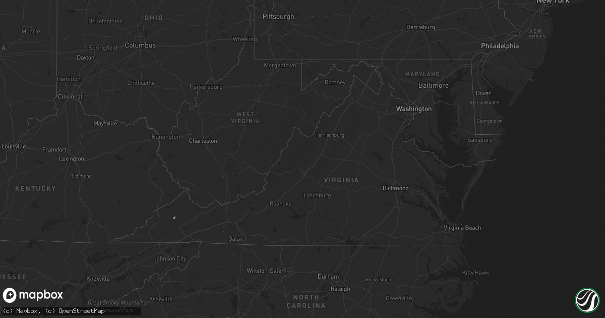
Hail Map in Virginia on September 25, 2024
Get this storm
September 25 map
$229
one time, instant access
Download today. No call, no setup
Keep the $229
Bought the map and want the full workflow? Apply the entire $229 to a subscription within 7 days. None of it is wasted.
Every map, not just this one
This buys you this map. Subscription and you get every map we run, in the markets you choose from a few cities to whole states to nationwide. Plus real-time alerts the moment a storm fires.
Contact data
Name, contact info, occupancy, even credit band for addresses in the footprint. You go from where it hit to who to call.
Become the source they trust
Unlimited branding weather history reports on demand. You already have the documented answer ready for the property owner, and you are the one who showed up with it.
Property data and RoofTrace estimates
Pull up any address you have got, its value and the exact code rules for that jurisdiction, straight from One Click Code. Then RoofTrace estimates the squares, pitch, and roof value, priced the way you price.
Storm reports in Virginia
Virginia
| Date | Description |
|---|---|
| 09/25/20246:55 PM CDT | Tree fell into the roadway on rives rd in martinsville... Va. Time is estimated from radar. |
| 09/25/20246:50 PM CDT | Tree down in the middle of old sand rd in ridgeway... Va. Time is estimated from radar. |
| 09/25/20247:30 AM CDT | Tree down near the intersection of chaney lane and howard p anderson road in halifax county virginia. |
| 09/25/202412:07 AM CDT | There were several calls for trees blown down between crozet and charlottesville. |
| 09/24/202410:37 PM CDT | A large tree was down on martin road near axton. Several vehicles had nearly run into the downed tree which was nearly blocking the entire road. |
| 09/24/202410:30 PM CDT | The smyth county 911 center reported that a large tree was down at the intersection of hutton branch road and pierce road in marion... Blocking both lanes of traffic. |
| 09/24/20248:12 PM CDT | Large tree fell onto the roadway and broke apart on wards rd. Time is estimated from radar. |
| 09/24/20248:12 PM CDT | Tree fell across redfields rd near appomattox... Va. Time is estimated from radar. |
| 09/24/20248:05 PM CDT | Downed wires near idlewild blvd in roanoke. Time is estimated from radar. |
| 09/24/20248:00 PM CDT | Thunderstorm winds blew down a tree which covered the east bound lane of u.s. Highway 24. |
| 09/24/20247:50 PM CDT | Thunderstorm winds blew down one tree near the intersection of spring road and scott jacobs memorial drive. |
| 09/24/20247:48 PM CDT | Tree has fallen into roadway... Partially blocking the road with small mudslide into the road about 2-3 feet. Time is estimated from radar. |
| 09/24/20247:42 PM CDT | Tree has fallen onto cedar tree rd near appomattox... Va. Time is estimated from radar. |
| 09/24/20247:24 PM CDT | Large tree down blocking the road near the intersection of cedar hill dr and philpott dr. Time is estimated from radar. |
| 09/24/20247:12 PM CDT | Thunderstorm winds blew down a tree near the intersection of patrick avenue and high ridge street. |
All States Impacted by Hail Map on September 25, 2024
Cities Impacted by Hail Map on September 25, 2024
- Tamassee, SC
- Salem, SC
- Sunset, SC
- Portland, TN
- Gallatin, TN
- Bethpage, TN
- Westmoreland, TN
- Kingsport, TN
- Gate City, VA
- Edmond, OK
- Oklahoma City, OK
- Colfax, LA
- Dante, VA
- Cedartown, GA
- Piedmont, AL
- Cave Spring, GA
- Lindale, GA
- Clermont, GA
- Cleveland, GA
- Husser, LA
- Amite, LA
- Demorest, GA
- Clarkesville, GA
- Lakemont, GA
- Covington, LA
- Mandeville, LA
- Abita Springs, LA
- Long Creek, SC
- Ponchatoula, LA
- Madisonville, LA
- Mountain Rest, SC
- Westminster, SC
- Slidell, LA
- Lacombe, LA
- Port Lavaca, TX
- Pearl River, LA
- Bay Saint Louis, MS
- Tivoli, TX
- Lake Toxaway, NC
- Edna, TX
- Corpus Christi, TX
- Potlatch, ID
- Newport, WA
- Halifax, VA
- Mount Airy, GA
- Garwood, TX
- Hebbronville, TX
- Rio Grande City, TX
- Roma, TX
- Daufuskie Island, SC
- Bluffton, SC
- Blowing Rock, NC
- Waynesboro, GA
- Marietta, SC
- Roaring River, NC
- Stoneville, NC
- Rockbridge, OH


