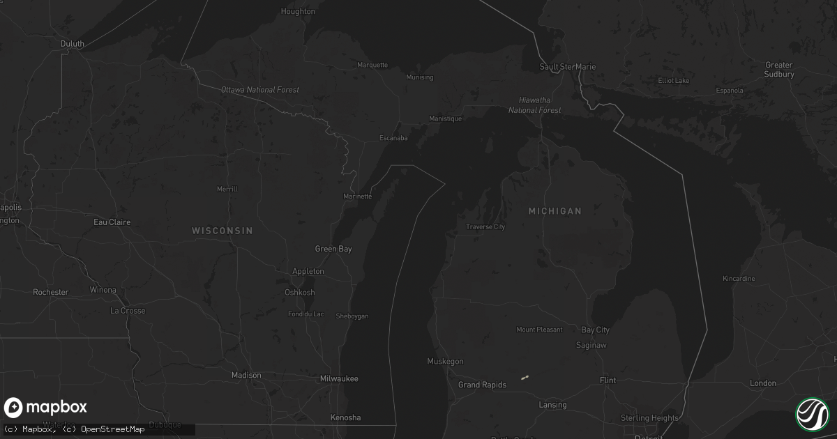
Hail Map in Michigan on September 25, 2018
Get this storm
September 25 map
$229
one time, instant access
Download today. No call, no setup
Keep the $229
Bought the map and want the full workflow? Apply the entire $229 to a subscription within 7 days. None of it is wasted.
Every map, not just this one
This buys you this map. Subscription and you get every map we run, in the markets you choose from a few cities to whole states to nationwide. Plus real-time alerts the moment a storm fires.
Contact data
Name, contact info, occupancy, even credit band for addresses in the footprint. You go from where it hit to who to call.
Become the source they trust
Unlimited branding weather history reports on demand. You already have the documented answer ready for the property owner, and you are the one who showed up with it.
Property data and RoofTrace estimates
Pull up any address you have got, its value and the exact code rules for that jurisdiction, straight from One Click Code. Then RoofTrace estimates the squares, pitch, and roof value, priced the way you price.
Storm reports in Michigan
Michigan
| Date | Description |
|---|---|
| 09/25/20185:44 PM CDT | Tree down in middleton. Time estimated from radar. |
| 09/25/20181:49 AM CDT | At 648 PM EDT, a severe thunderstorm was located near Pleasant Valley, or 11 miles northeast of Alma, moving northeast at 35 mph. HAZARD...60 mph wind gusts and penny size hail. SOURCE...Radar indicated. IMPACT...Expect damage to roofs, siding, and trees. This severe thunderstorm will be near, Midland around 725 PM EDT.Other locations impacted by this severe thunderstorm include Laporte,Averill, Gordonville, Bombay, Porter Township, Poseyville, Hope andNorth Bradley. |
| 09/25/20181:31 AM CDT | At 631 PM EDT, a severe thunderstorm was located 6 miles south of Carson City, or 12 miles northeast of Ionia, moving northeast at 45 mph. HAZARD...60 mph wind gusts. SOURCE...Radar indicated. IMPACT...Expect damage to roofs, siding, and trees. Locations impacted include... St. Johns... Elsie... Eureka... Fowler... Maple Rapids... Ashley... Pewamo... Perrinton... Hubbardston... Bannister... |
| 09/24/20187:56 PM CDT | Possible tornado. Multiple trees and powerlines down in gibralter. |
| 09/24/20187:55 PM CDT | Tornado traveled 3.3 miles from w jefferson ave / gibraltar rd in gibraltar across the detroit river to the north end of elba island in grosse ile township. Ef1 damage |
| 09/24/20187:45 PM CDT | Tornado traveled 4 miles from berlin township in monroe county to wayne county near the border of brownstown township and the city of gibraltar. Ef0 damage was exhibite |
| 09/24/20187:44 PM CDT | Possible tornado. Extensive tree damage blocking roads near labo rd in berlin township. |
| 09/24/20187:42 PM CDT | Possible tornado. Monroe county central dispatch reported trees and wires down in frenchtown township. |
| 09/24/20187:30 PM CDT | Possible tornado. 3 homes sustained significant damage near toben rd and south stoney creek rd. Homes are uninhabitable. |
| 09/24/20187:23 PM CDT | Tornado traveled 4.3 miles and caused ef1 damage to roofs... Windows... And garage doors on homes near toben and south stoney creek rds in frenchtown township in additi |
All States Impacted by Hail Map on September 25, 2018
Cities Impacted by Hail Map on September 25, 2018
- Wetumpka, AL
- Tallassee, AL
- Earling, IA
- Columbus, NE
- Pittsview, AL
- Eufaula, AL
- South Bend, IN
- Woodbine, IA
- Dunlap, IA
- Logan, IA
- Port Charlotte, FL
- Mondamin, IA
- Pisgah, IA
- Templeton, IA
- Clopton, AL
- Wanatah, IN
- Union Mills, IN
- La Porte, IN
- Westville, IN
- Valparaiso, IN
- Ionia, MI
- Tatum, NM
- Roswell, NM
- Panama, IA
- Abbeville, AL
- Jakin, GA
- Donalsonville, GA
- New Carlisle, IN
- Saint Petersburg, FL
- Newville, AL
- Midland City, AL
- Hobart, IN
- Lake Station, IN
- Portage, IN
- Lovington, NM
- Muir, MI
- Mount Morris, IL
- Kirkland, IL
- Milledgeville, IL
- Lake In The Hills, IL
- Chana, IL
- Maple Park, IL
- Burlington, IL
- Wauconda, IL
- Cortland, IL
- Esmond, IL
- Hampshire, IL
- Carpentersville, IL
- Crystal Lake, IL
- Byron, IL
- Fulton, IL
- Holcomb, IL
- Franklin Grove, IL
- Stillman Valley, IL
- Cary, IL
- Chadwick, IL
- Fox River Grove, IL
- Buffalo Grove, IL
- Genoa, IL
- Thomson, IL
- Dundee, IL
- Libertyville, IL
- Rochelle, IL
- Barrington, IL
- Kingston, IL
- Gilberts, IL
- Sterling, IL
- Sycamore, IL
- Davis Junction, IL
- Marengo, IL
- Elgin, IL
- Dekalb, IL
- Clare, IL
- Morrison, IL
- Oregon, IL
- Vernon Hills, IL
- Mundelein, IL
- Huntley, IL
- Woosung, IL
- Algonquin, IL
- Dixon, IL
- Ashton, IL
- Malta, IL
- Polo, IL
- Monroe Center, IL
- Lindenwood, IL
- Union, IL
- Lake Zurich, IL


