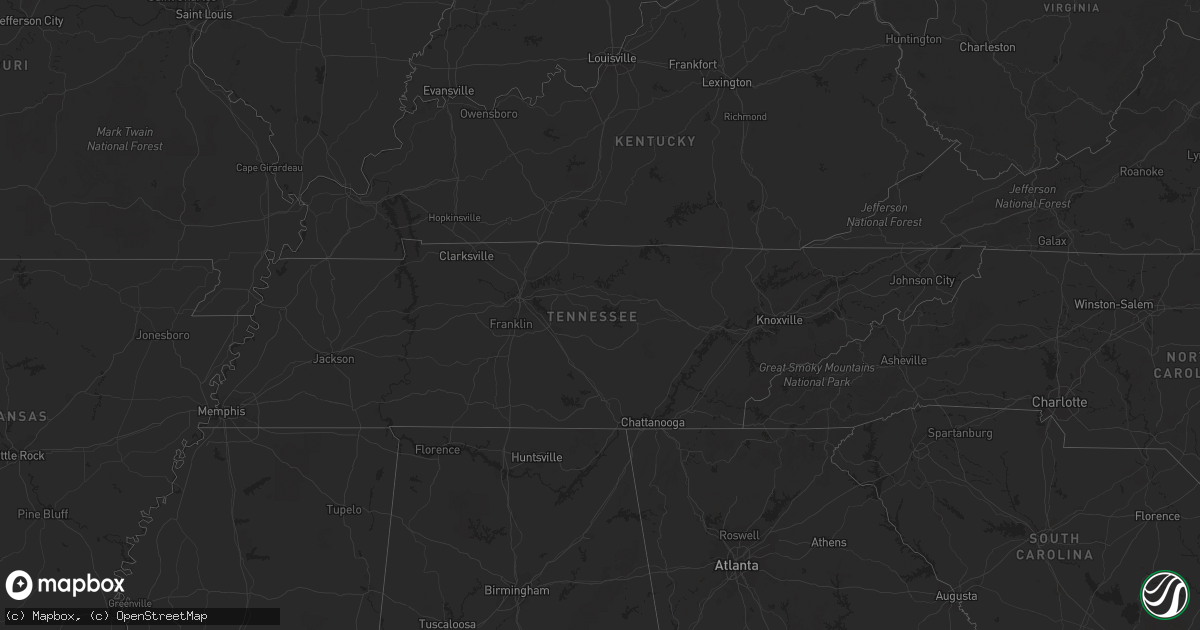
Hail Map in Indiana on September 21, 2012
Get this storm
September 21 map
$229
one time, instant access
Download today. No call, no setup
Keep the $229
Bought the map and want the full workflow? Apply the entire $229 to a subscription within 7 days. None of it is wasted.
Every map, not just this one
This buys you this map. Subscription and you get every map we run, in the markets you choose from a few cities to whole states to nationwide. Plus real-time alerts the moment a storm fires.
Contact data
Name, contact info, occupancy, even credit band for addresses in the footprint. You go from where it hit to who to call.
Become the source they trust
Unlimited branding weather history reports on demand. You already have the documented answer ready for the property owner, and you are the one who showed up with it.
Property data and RoofTrace estimates
Pull up any address you have got, its value and the exact code rules for that jurisdiction, straight from One Click Code. Then RoofTrace estimates the squares, pitch, and roof value, priced the way you price.
Storm reports in Indiana
Indiana
| Date | Description |
|---|---|
| 09/21/20126:56 PM CDT | A local report indicates 1.50 inch wind near 5 E NEW PALESTINE |
| 09/21/20126:51 PM CDT | Quarter sized hail reported at 100 s and 700 w. |
| 09/21/20126:44 PM CDT | Golf ball hail reported just east of cumberland. |
| 09/21/20126:40 PM CDT | Quarter size hail reported just west of cumberland. |
| 09/21/20126:40 PM CDT | A local report indicates 1.00 inch wind near CUMBERLAND |
| 09/21/20126:36 PM CDT | Golf ball hail reported at franklin rd and raymond st. |
| 09/21/20126:36 PM CDT | Hail covering the ground. |
| 09/21/20126:35 PM CDT | Quarter sized hail reported at 10th st and arlington ave. |
| 09/21/20126:27 PM CDT | Limbs down and damage to siding. |
| 09/21/20126:26 PM CDT | Power is out. |
| 09/21/20126:25 PM CDT | Time estimated based on radar and other reports in the area. |
| 09/21/20126:25 PM CDT | A local report indicates 1.00 inch wind near 5 S BROWNSBURG |
| 09/21/20126:24 PM CDT | Half dollar size hail reported at lynhurst and rockville rd. |
| 09/21/20126:20 PM CDT | Reported at the rtv6 studio. |
| 09/21/20126:20 PM CDT | Siding and shingles blown off of a home. Patio furniture and a gazebo damaged at neighboring homes. Near state route 267 and tildon road just south of brownsburg. |
| 09/21/20126:18 PM CDT | A local report indicates 1.00 inch wind near 7 W INDIANAPOLIS |
| 09/21/20126:17 PM CDT | A local report indicates 1.25 inch wind near 2 E AVON |
| 09/21/20126:16 PM CDT | Quarter sized hail covered the ground approximately one foot deep. Ended at 716 pm. |
| 09/21/20126:15 PM CDT | Estimated 60 mph wind gusts accompanied by nickel sized hail at 21st street and raceway rd. |
| 09/21/20126:15 PM CDT | A local report indicates 1.00 inch wind near 2 NNE BROWNSBURG |
| 09/21/20126:15 PM CDT | A local report indicates 1.00 inch wind near 2 NNW AVON |
| 09/21/20126:12 PM CDT | A local report indicates 1.00 inch wind near 2 W AVON |
| 09/21/20126:11 PM CDT | A local report indicates 60 MPH wind near BROWNSBURG |
| 09/21/20126:11 PM CDT | Half dollar sized hail estimated 1 n of avon. |
| 09/21/20126:11 PM CDT | A local report indicates 1.50 inch wind near BROWNSBURG |
| 09/21/20126:07 PM CDT | A local report indicates 1.00 inch wind near BROWNSBURG |
| 09/21/20126:06 PM CDT | A local report indicates 1.75 inch wind near NORTH SALEM |
| 09/21/20126:05 PM CDT | Half dollar size hail 0.5 mile east of downtown pittsboro. |
| 09/21/20126:05 PM CDT | Up to golf ball sized hail in danville ending at 705 pm. Winds of 30 mph estimated also. |
| 09/21/20126:02 PM CDT | Lots of quarter size hail with some larger stones on the west side of danville. |
| 09/21/20126:00 PM CDT | Also estimated winds around 50 mph. Time estimated. |
| 09/21/20125:55 PM CDT | 2ft diameter healthy tree blown down. Time estimated from radar and spotter. |
| 09/21/20125:55 PM CDT | Two foot healthy tree uprooted at sr 236 and cr 400 w. Time estimated from radar. |
| 09/21/20125:45 PM CDT | Multiple 4-6 inch diameter tree limbs down at cr 900 n and cr 775 w. Time estimated from radar. |
| 09/21/20125:44 PM CDT | A local report indicates 1.00 inch wind near ROACHDALE |
| 09/21/20125:42 PM CDT | Wind gusts estimated to 65 mph along with quarter size hail. |
| 09/21/20125:40 PM CDT | Trees downed at north putnam high school. Time estimated from radar. |
| 09/21/20125:38 PM CDT | Treens downed at the intersection of hwys 231 and 236. Time estimated from radar. |
| 09/21/20125:15 PM CDT | Power lines down at the intersection of 900 s and 270 e and also at the intersection of us 41 and 800 s. Additionally...roof blown off of a barn on 900 s just east of 2 |
| 09/20/20127:29 PM CDT | Roadways covered with hail. |
| 09/20/20127:20 PM CDT | Two trees and utility poles reported down northwest of richmond |
| 09/20/20127:20 PM CDT | Quarter sized hail and smaller covering the ground. Time estimated from radar. |
| 09/20/20127:06 PM CDT | Quarter sized hail on the east side of greenfield. Reported from wthr facebook page. |
Cities Impacted by Hail Map on September 21, 2012
- Fountaintown, IN
- Shelbyville, IN
- Mount Pulaski, IL
- Charleston, IL
- Lerna, IL
- Pittsboro, IN
- Brownsburg, IN
- Danville, IN
- Shirley, IN
- Gwynneville, IN
- Kingman, IN
- Danville, IL
- Westville, IL
- Whitestown, IN
- North Salem, IN
- Wilkinson, IN
- Fairland, IN
- Waveland, IN
- Arlington, IN
- Georgetown, IL
- New Palestine, IN
- Waynetown, IN
- Veedersburg, IN
- Roachdale, IN
- Perrysville, IN
- Darlington, IN
- Amo, IN
- Jamestown, IN
- Crawfordsville, IN
- Cayuga, IN
- Carthage, IN
- Lebanon, IN
- Bainbridge, IN
- Clayton, IN
- Coatesville, IN
- Covington, IN
- Connersville, IN
- Plainfield, IN
- Alamo, IN
- Monrovia, IN
- Lizton, IN
- Greencastle, IN
- Stilesville, IN
- Zionsville, IN
- New Ross, IN
- New Market, IN
- Beech Grove, IN
- Hillsboro, IN
- Ladoga, IN
- Markleville, IN
- Bloomingdale, IN
- Russellville, IN
- Rushville, IN
- Middletown, IN
- Falmouth, IN
- Fortville, IN
- Glenwood, IN
- Fillmore, IN
- Indianapolis, IN
- Morristown, IN
- Marshall, IN
- Avon, IN
- Camby, IN
- Pendleton, IN
- Mooresville, IN
- Greenfield, IN
- Mccordsville, IN
- Cisco, IL
- Maroa, IL
- Warrensburg, IL
- Argenta, IL
- Latham, IL
- Chestnut, IL
- Homer, IL
- San Jose, IL
- Athens, IL
- Williamsville, IL
- Dousman, WI
- North Prairie, WI
- Oconomowoc, WI
- Wales, WI
- Mukwonago, WI
- Waukesha, WI
- Mason City, IL
- Petersburg, IL
- Sherman, IL
- Eustis, FL
- Debary, FL
- Arcola, IL
- Humboldt, IL
- Elkhart, IL
- Villa Grove, IL
- Newman, IL
- Camargo, IL
- Oakland, IL
- Hindsboro, IL
- Carlinville, IL
- Emden, IL
- Mahomet, IL
- Mansfield, IL
- Boggstown, IN
- Needham, IN
- Thorntown, IN
- Cantrall, IL
- Mattoon, IL
- Decatur, IL
- Forsyth, IL
- Dayton, OH
- Manilla, IN
- Easton, IL
- Forest City, IL
- Helenville, WI
- Sullivan, WI
- Sidney, IL
- Philo, IL
- Savoy, IL
- Tolono, IL
- Champaign, IL
- Delafield, WI
- Galesburg, IL
- Martinsville, IL
- Advance, IN
- Dewey, IL
- Riverton, IL
- Buffalo, IL
- Cambridge, WI
- Deerfield, WI
- Tuscola, IL
- Atwood, IL
- Rockville, IN
- Sadorus, IL
- Urbana, IL
- Ivesdale, IL
- Waunakee, WI
- Middleton, WI
- Trilla, IL
- Greenup, IL
- Casey, IL
- Kampsville, IL
- Greenview, IL
- Clay City, IN
- Monticello, IL
- White Heath, IL
- New Castle, IN
- Liberty, IN
- Brownsville, IN
- Madison, WI
- Westfield, IL
- Cottage Grove, WI
- Whiteland, IN
- Franklin, IN
- Lake Mills, WI


