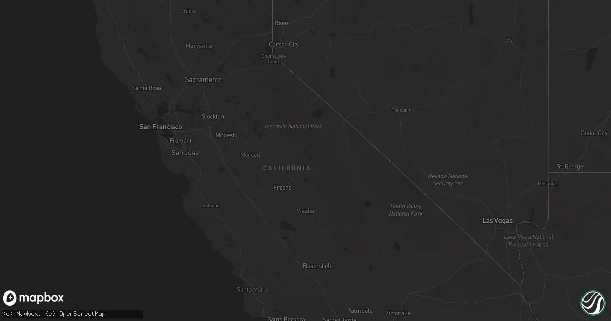
Hail Map in California on September 18, 2025
Get this storm
September 18 map
$229
one time, instant access
Download today. No call, no setup
Keep the $229
Bought the map and want the full workflow? Apply the entire $229 to a subscription within 7 days. None of it is wasted.
Every map, not just this one
This buys you this map. Subscription and you get every map we run, in the markets you choose from a few cities to whole states to nationwide. Plus real-time alerts the moment a storm fires.
Contact data
Name, contact info, occupancy, even credit band for addresses in the footprint. You go from where it hit to who to call.
Become the source they trust
Unlimited branding weather history reports on demand. You already have the documented answer ready for the property owner, and you are the one who showed up with it.
Property data and RoofTrace estimates
Pull up any address you have got, its value and the exact code rules for that jurisdiction, straight from One Click Code. Then RoofTrace estimates the squares, pitch, and roof value, priced the way you price.
Storm reports in California
California
| Date | Description |
|---|---|
| 09/18/20256:32 PM CDT | Sce painted canyon rd observation station reported wind gust of 62 mph. |
| 09/18/20255:05 PM CDT | [landspout] at 305 pm pdt... A developing thunderstorm near palmdale produced a weak landspout tornado |
| 09/18/20253:40 PM CDT | Anza borrego desert state part observation station reported wind gust of 64 mph. |
| 09/17/20258:20 PM CDT | Semi-truck flipped over at the intersection of e evan hewes hwy and bowker rd. |
| 09/17/20258:13 PM CDT | Powerlines fell down and struck vehicles near the intersection of dogwood rd and e aten rd. |
| 09/17/20258:13 PM CDT | Powerlines fell down and struck vehicles near t |
| 09/17/20258:08 PM CDT | Semi-truck flipped over on interstate 8 just east of bowker rd. |
| 09/17/20258:07 PM CDT | Semi-truck blown over on interstate 8 near the intersection of hwy 111. |
| 09/17/20258:07 PM CDT | Semi-truck blown over on interstate 8 near the intersection of hwy 111. ( |
| 09/17/20258:02 PM CDT | Powerlines down at the intersection of bowker rd and e jasper rd. |
| 09/17/20258:01 PM CDT | Asos station kipl imperial. |
| 09/17/20258:00 PM CDT | Powerlines down and semi-truck flipped over onto vehicle along hwy 111 near east mccabe rd. |
All States Impacted by Hail Map on September 18, 2025
Cities Impacted by Hail Map on September 18, 2025
- Quartzsite, AZ
- Mena, AR
- Bronson, KS
- Mapleton, KS
- Detroit, TX
- Blue Mound, KS
- Waldron, AR
- Poteau, OK
- Booneville, AR
- Perryville, AR
- Blossom, TX
- Lowell, AR
- Springdale, AR
- Ash Grove, MO
- Bois D Arc, MO
- Salome, AZ
- Magazine, AR
- Clarksville, TX
- Cibola, AZ
- Wellton, AZ
- Rogers, AR
- Blythe, CA
- Bouse, AZ
- De Kalb, TX
- Lamar, MO
- Wister, OK
- Huntington, AR
- Republic, MO
- Butler, MO
- Fort Smith, AR
- Greenwood, AR
- Garfield, AR
- Seligman, MO
- Shady Point, OK
- Jasper, MO
- Drexel, MO
- Freeman, MO
- Harrisonville, MO
- Archie, MO
- Peculiar, MO
- Cleveland, MO
- Pleasant Hill, MO
- Haworth, OK
- Walker, MO
- Billings, MO
- Pierce City, MO
- Granby, MO
- Charleston, AR
- Marionville, MO
- Everton, MO
- Creighton, MO
- Greenwood, MO
- Lone Jack, MO
- Grain Valley, MO
- Lees Summit, MO
- Dadeville, MO
- Rocky Comfort, MO
- Arcola, MO
- Stockton, MO
- Jay, OK
- Fairview, MO
- Stark City, MO
- El Dorado Springs, MO
- Harwood, MO
- Garden City, MO
- Colcord, OK
- Pea Ridge, AR
- Bentonville, AR
- Jerico Springs, MO
- Sheldon, MO
- Kingsville, MO
- Oak Grove, MO
- Bates City, MO
- Holden, MO
- Ozone, AR
- Winnett, MT
- Eagletown, OK
- Wentworth, MO
- Lavaca, AR
- Canehill, AR
- Prairie Grove, AR
- Sarcoxie, MO
- Sibley, MO
- Napoleon, MO
- Buckner, MO
- Wellington, MO
- Orrick, MO
- Odessa, MO
- Appleton City, MO
- Osceola, MO
- De Queen, AR
- Deer, AR
- Reeds, MO
- Carthage, MO
- Long Lane, MO
- Centerview, MO
- Washburn, MO
- Windyville, MO
- Powell, MO
- Lexington, MO
- Humansville, MO
- Warrensburg, MO
- Henrietta, MO
- Camden, MO
- Richmond, MO
- Hardin, MO
- Monett, MO
- Buffalo, MO
- Deepwater, MO
- Lowry City, MO
- Evansville, AR
- Jefferson, TX
- Roll, AZ
- Weaubleau, MO
- Collins, MO
- Lockesburg, AR
- Norborne, MO
- Knob Noster, MO
- Concordia, MO
- Sweet Springs, MO
- Neosho, MO
- Tunas, MO
- La Russell, MO
- Malvern, AR
- Donaldson, AR
- Gillham, AR
- Clinton, MO
- Stella, MO
- Wheatland, MO
- Cross Timbers, MO
- Lockwood, MO
- Briscoe, TX
- Friendship, AR
- Macks Creek, MO
- Calhoun, MO
- Miller, MO
- South Greenfield, MO
- Edwards, CA
- Houstonia, MO
- Blackburn, MO
- Malta Bend, MO
- Edwards, MO
- Greenfield, MO
- Canadian, TX
- Stotts City, MO
- Vendor, AR
- Jasper, AR
- Marble Falls, AR
- Windsor, MO
- Arkadelphia, AR
- Golden City, MO
- Marshall, MO
- Reydon, OK
- Sweetwater, OK
- Plainfield, WI
- Climax Springs, MO
- Miami, MO
- Slater, MO
- Bancroft, WI
- Worden, MT
- Palm Desert, CA
- Sedalia, MO
- Maiden Rock, WI
- Plum City, WI
- Indian Wells, CA
- Rancho Mirage, CA
- Pilot Grove, MO
- Hughesville, MO
- Nelson, MO
- Phillipsburg, MO
- Lebanon, MO
- Custer, MT
- Blackwater, MO
- Boonville, MO
- Wheeler, TX
- Pompeys Pillar, MT
- Almond, WI
- Franklin, MO
- New Franklin, MO
- Fayette, MO
- Rocheport, MO
- Harrisburg, MO
- Clark, MO
- Sturgeon, MO
- Heber, CA
- Calexico, CA
- El Centro, CA
- Dixon, MO
- Holtville, CA
- Imperial, CA
- Brawley, CA
- Brinktown, MO
- Niland, CA
- Winterhaven, CA
- Quitaque, TX
- Arlington, AZ
- Twentynine Palms, CA
- Hayfork, CA
- Joplin, MO
- Noble, OK
- Norman, OK
- Canute, OK
- Dill City, OK
- Cordell, OK
- Carnegie, OK
- Wewoka, OK
- Scottsdale, AZ
- Phoenix, AZ
- Fort Cobb, OK
- Gracemont, OK
- Apache, OK
- Anadarko, OK
- Edmond, OK
- Guthrie, OK
- Piedmont, OK
- Oklahoma City, OK
- Spencer, OK
- Choctaw, OK
- Batesville, AR
- Harrah, OK
- Meeker, OK
- Wellston, OK
- Locust Grove, AR
- Newalla, OK
- Chandler, OK
- Surprise, AZ
- Paden, OK
- Sun City, AZ
- El Mirage, AZ
- Sun City West, AZ
- Castle, OK
- Peoria, AZ
- Okemah, OK
- Bristow, OK
- Marcella, AR
- Okmulgee, OK
- Allen, OK
- Beggs, OK
- Calvin, OK
- Atwood, OK
- Haskell, OK
- Boynton, OK


