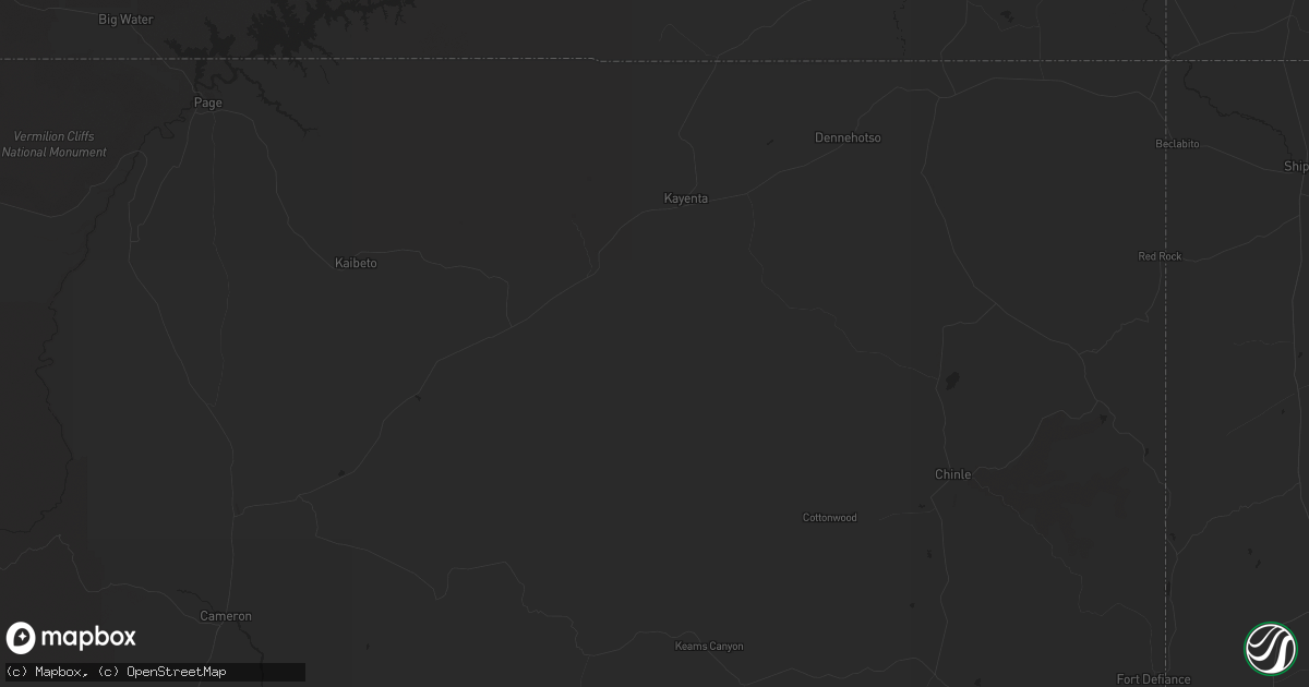
Hail Map in Lebanon, OR on September 17, 2020
Get this storm
September 17 map
$229
one time, instant access
Download today. No call, no setup
Keep the $229
Bought the map and want the full workflow? Apply the entire $229 to a subscription within 7 days. None of it is wasted.
Every map, not just this one
This buys you this map. Subscription and you get every map we run, in the markets you choose from a few cities to whole states to nationwide. Plus real-time alerts the moment a storm fires.
Contact data
Name, contact info, occupancy, even credit band for addresses in the footprint. You go from where it hit to who to call.
Become the source they trust
Unlimited branding weather history reports on demand. You already have the documented answer ready for the property owner, and you are the one who showed up with it.
Property data and RoofTrace estimates
Pull up any address you have got, its value and the exact code rules for that jurisdiction, straight from One Click Code. Then RoofTrace estimates the squares, pitch, and roof value, priced the way you price.
Storm reports in Lebanon, OR
Lebanon, OR
| Date | Description |
|---|---|
| 09/17/20203:45 AM CDT | Estimated time. Spotter also from local fire dept. Griggs dr and bond rd near lebanon... Or. Multiple trees snapped about 15-20 feet up. Lots of wires down. Metal shed |
| 09/17/20203:37 AM CDT | Empty semi trailer blown over. Found photos via social media and local tv news. Time estimated |
| 09/17/20203:36 AM CDT | Social media photos of trees uprooted and tree limbs of 4-8 in diameter broken off deciduous trees in had irvine park. Time estimated. |
| 09/17/20203:36 AM CDT | Social media photos of tree damage and powerline damage along williams st. Time estimated. |
| 09/17/20203:35 AM CDT | Numerous trees snapped and uprooted around town via social media |


