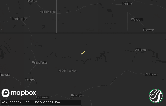
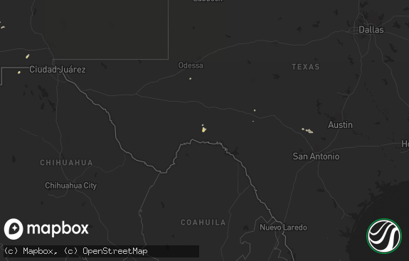
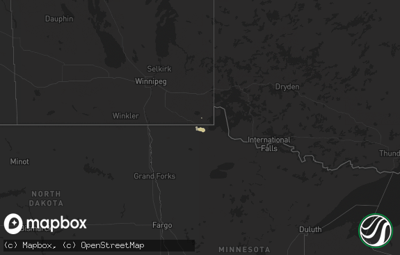
Hail Map in Montana on September 7, 2013
The weather event in Montana on September 7, 2013 includes Hail map. 12 states and 150 cities were impacted and suffered possible damage. The total estimated number of properties impacted is 0.

Hail
0
Estimated number of impacted properties by a 1.00" hail or larger0
Estimated number of impacted properties by a 1.75" hail or larger0
Estimated number of impacted properties by a 2.50" hail or largerStorm reports in Montana
Montana
| Date | Description |
|---|---|
| 09/07/20136:32 PM CDT | Winds pushed 1200 pound round hay bales through 2 fences. |
| 09/07/20136:30 PM CDT | A local report indicates 60 MPH wind near 20 NE BIG TIMBER |
| 09/07/20135:15 PM CDT | Winds pushed 1200 pound round hay bales through 2 fences. |
| 09/07/20135:10 PM CDT | Gust measured by cannonball creek raws |
| 09/07/20134:59 PM CDT | Golf ball size hail accompanied by very strong winds of unknown magnitude. Very heavy rain with visibility less than 200 yards. |
| 09/07/20134:40 PM CDT | A local report indicates 1.75 inch wind near 8 N BAKER |
| 09/07/20134:10 PM CDT | A local report indicates 1.50 inch wind near 4 WNW WESTMORE |
| 09/06/201310:50 PM CDT | Spotter estimated 50 to 60 mph gusts. Power is out. |
| 09/06/201310:39 PM CDT | A local report indicates 73 MPH wind near 11 SE HUNTLEY |
| 09/06/201310:20 PM CDT | Nws employee estimated 60 mph wind gusts associated with very heavy rain...small hail and flash flooding. |
| 09/06/201310:05 PM CDT | A local report indicates 1.00 inch wind near 1 NNW BILLINGS WEST END |
| 09/06/201310:05 PM CDT | Billings airport |
| 09/06/201310:00 PM CDT | Cocorahs report of 0.83 inches of rain and estimated 60 mph wind gust |
| 09/06/201310:00 PM CDT | A local report indicates 1.00 inch wind near NW BILLINGS WEST END |
| 09/06/20139:58 PM CDT | A local report indicates 1.00 inch wind near 11 WSW BILLINGS |
| 09/06/20139:50 PM CDT | Nws employee estimated 70 mph wind gusts...small hail to dime size...and flash flooding. |
| 09/06/20139:47 PM CDT | Correction to earlier report of 1/2 inch hail. Measured at 1 inch. |
| 09/06/20139:35 PM CDT | A local report indicates 1.00 inch wind near 5 ESE MOLT |
| 09/06/20139:35 PM CDT | A local report indicates 1.25 inch wind near 9 SW ACTON |
| 09/06/20138:00 PM CDT | Quarter sized hail near neihart. |
| 09/06/20137:35 PM CDT | Ping pong size hail reported west of lincoln. Report relayed via ham radio to nws missoula. |
| 09/06/20137:30 PM CDT | Wall of dust and debris with wind. |
| 09/06/20137:15 PM CDT | A local report indicates 1.25 inch wind near 5 SW MILL IRON |
| 09/06/20137:02 PM CDT | A local report indicates 70 MPH wind near 12 WNW RAPELJE |
| 09/06/20137:02 PM CDT | A local report indicates 1.50 inch wind near 12 WNW RAPELJE |
All States Impacted by Hail Map on September 7, 2013
Cities Impacted by Hail Map on September 7, 2013
- Camp Crook, SD
- Marinette, WI
- Melville, MT
- Ryegate, MT
- Monmouth, IL
- Ludlow, SD
- Peshtigo, WI
- Prairie City, SD
- Smithfield, IL
- Hammond, MT
- Lincoln, MT
- Abrams, WI
- Little Suamico, WI
- Lodgepole, SD
- Mud Butte, SD
- Meadow, SD
- Bison, SD
- Timber Lake, SD
- Isabel, SD
- Dupree, SD
- Reva, SD
- Newell, SD
- Buffalo, SD
- Faith, SD
- Alzada, MT
- Worden, MT
- Ballantine, MT
- Huntley, MT
- Oconto, WI
- Deer Lodge, MT
- Garrison, MT
- Ingram, TX
- Galesburg, IL
- Gilson, IL
- Payson, IL
- Ekalaka, MT
- Menominee, MI
- Rhame, ND
- Orlando, FL
- Leakey, TX
- Marion, WI
- Scranton, ND
- Alexis, IL
- Billings, MT
- Molt, MT
- Ralph, SD
- Butte, MT
- Windermere, FL
- Beulah, WY
- Decker, MT
- Bowman, ND
- Knoxville, IL
- Maquon, IL
- Abingdon, IL
- Augusta, MT
- Sulphur, LA
- Winneconne, WI
- Fremont, WI
- Berlin, WI
- Rushville, IL
- Barry, IL
- Canyon Creek, MT
- East Helena, MT
- Winston, MT
- Shepherd, MT
- Moorcroft, WY
- Elgin, ND
- Sundance, WY
- Ranchester, WY
- Dayton, WY
- Fond Du Lac, WI
- Eden, WI
- Neihart, MT
- Ismay, MT
- Belle Fourche, SD
- White Sulphur Springs, MT
- Park City, MT
- Marietta, IL
- Ipava, IL
- Cuba, IL
- Table Grove, IL
- Avon, IL
- Saint Augustine, IL
- Avon, MT
- Big Timber, MT
- Raynesford, MT
- Lemmon, SD
- Buffalo, WY
- McIntosh, SD
- McLeod, MT
- Roseville, IL
- Prairie City, IL
- Good Hope, IL
- Smithshire, IL
- Ellisville, IL
- Vermont, IL
- Bushnell, IL
- Rapelje, MT
- Camden, IL
- Broadview, MT
- Cape Coral, FL
- Clancy, MT
- Heart Butte, MT
- Browning, MT
- Quincy, IL
- Monarch, MT
- Green Bay, WI
- Suamico, WI
- Omro, WI
- Poy Sippi, WI
- Pine River, WI
- Lodge Grass, MT
- Burkeville, TX
- Immokalee, FL
- Absarokee, MT
- Devils Tower, WY
- Pompeys Pillar, MT
- Morristown, SD
- Brooksville, FL
- Whitehall, MT
- Bowling Green, MO
- Clarksville, MO
- Sheridan, WY
- Townsend, MT
- Tavares, FL
- Kinderhook, IL
- Hull, IL
- Brookeland, TX
- Belt, MT
- Baylis, IL
- Columbus, MT
- Volborg, MT
- Louisiana, MO
- Hubertus, WI
- Richfield, WI
- Hartford, WI
- Rockport, IL
- Mount Sterling, IL
- Anaconda, MT
- Campo, CA
- Timewell, IL
- Borrego Springs, CA
- Grand Island, FL
- Leesburg, FL
- New Canton, IL
- Camp Wood, TX
- Franklin, LA
- Brownsville, WI
- Reeder, ND
- Baker, MT


